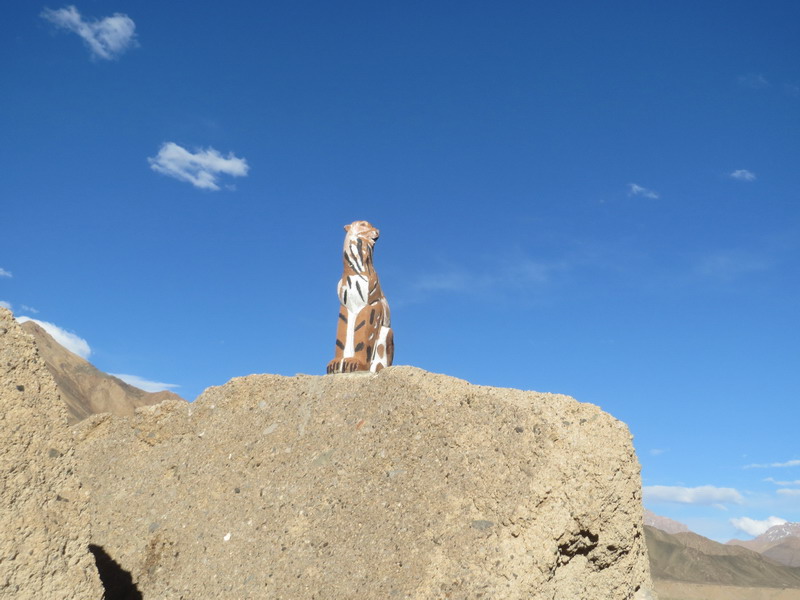
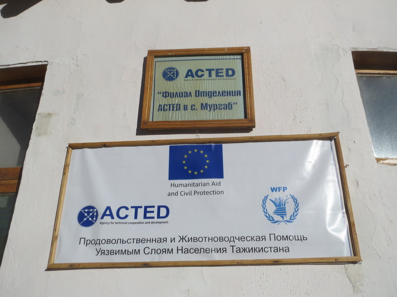
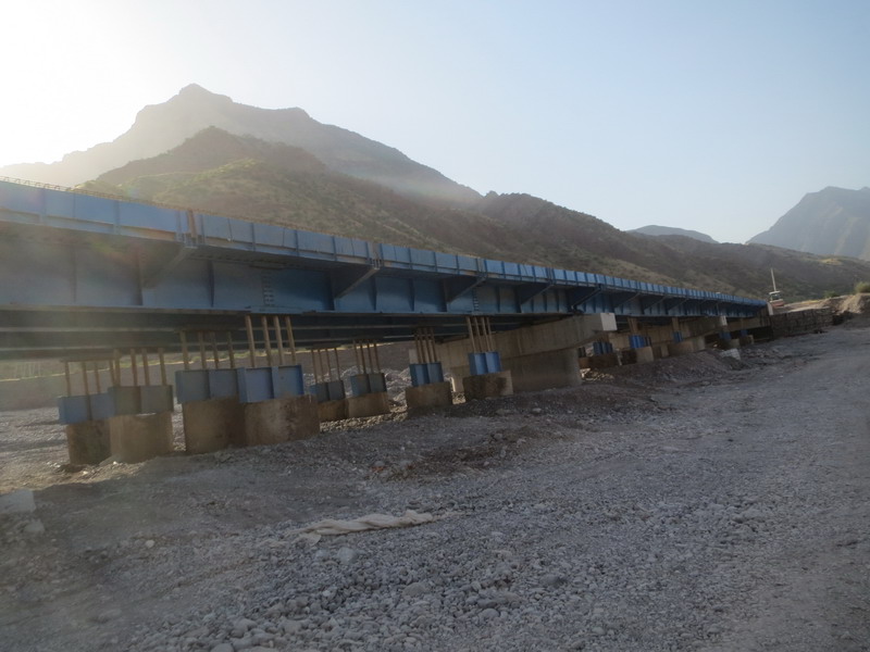
In the meantime the Tajikistan section is complete. More updates can be found here http://www.expedition-east.be/?cat=4
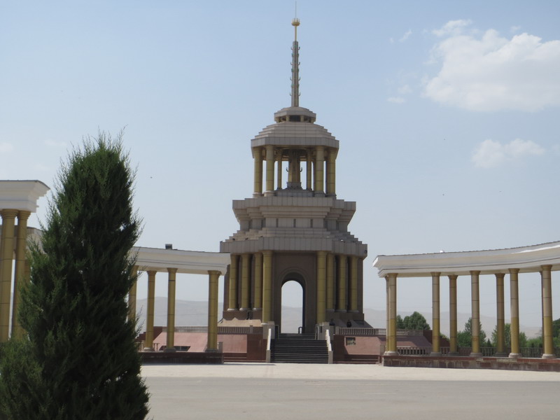
Category Archives: Tajikistan
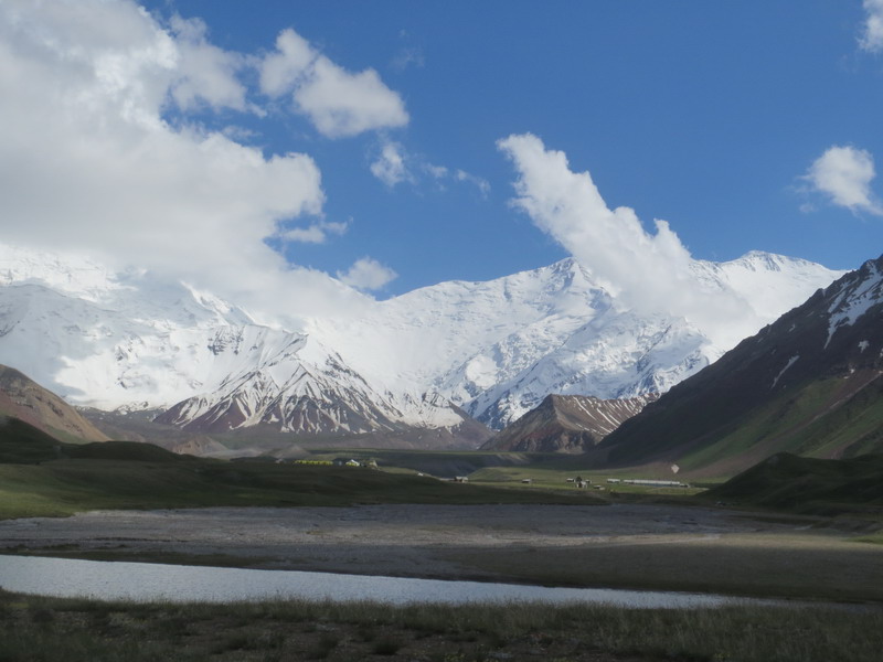
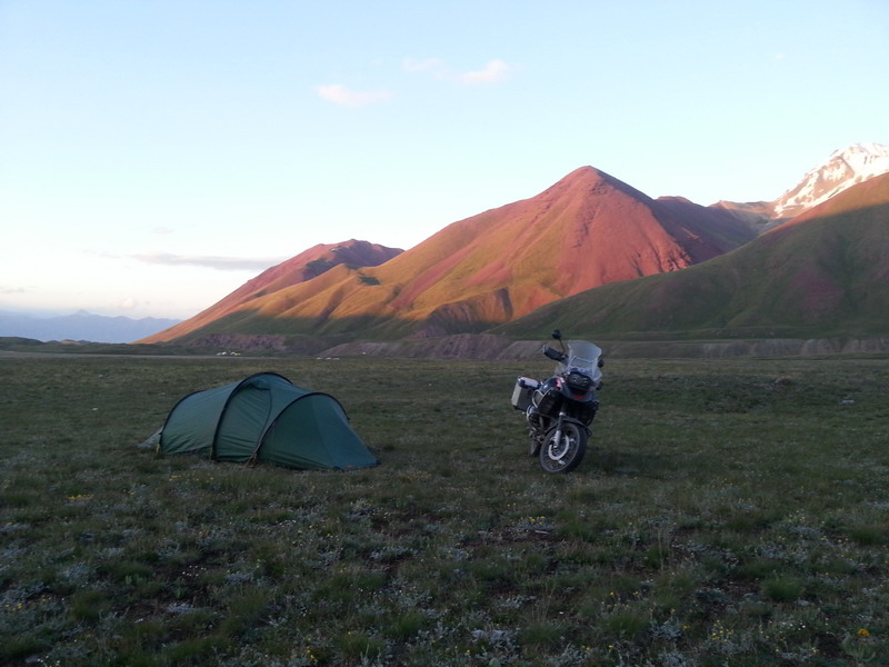
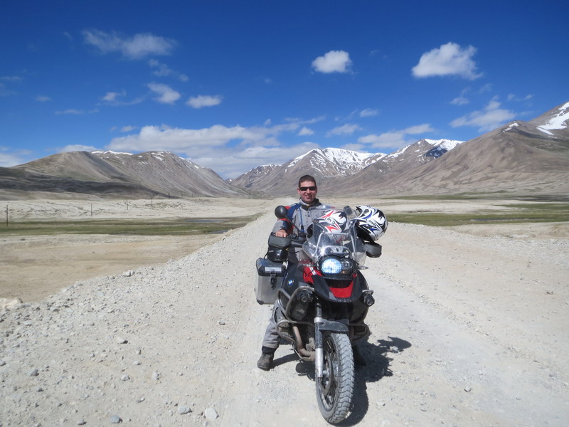
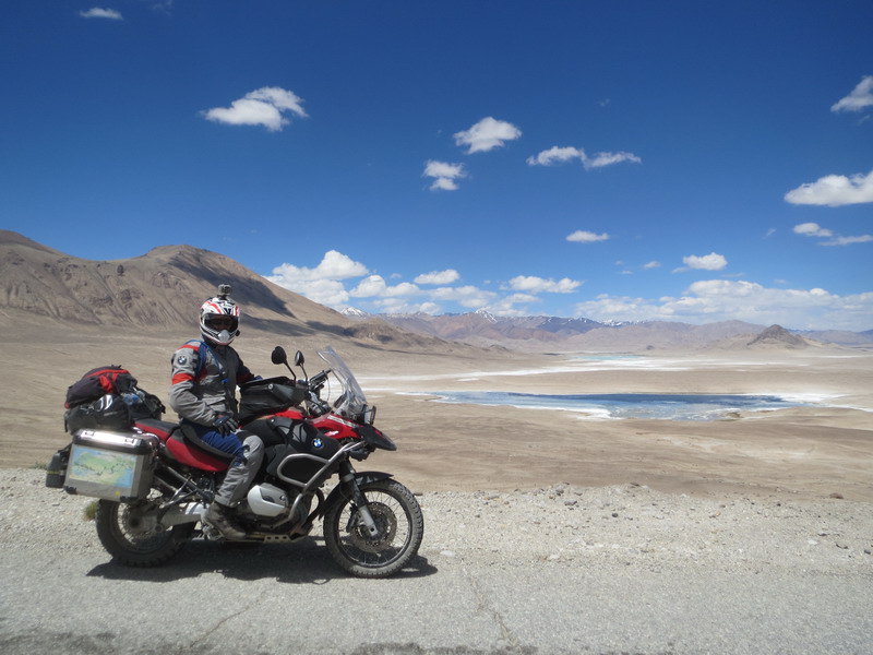
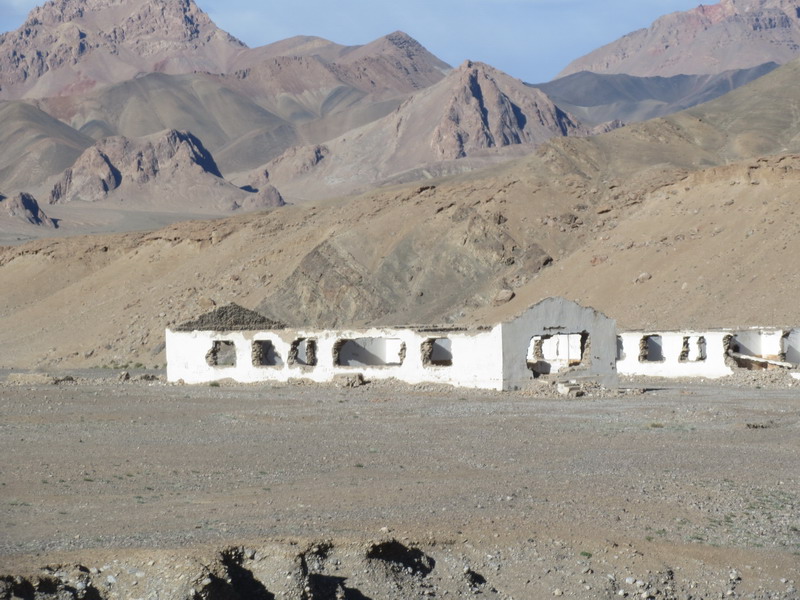
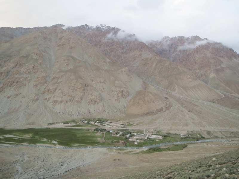
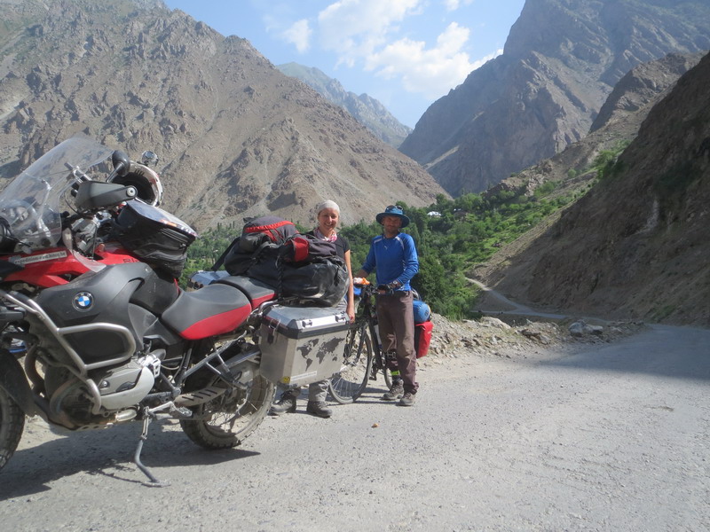
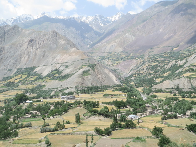
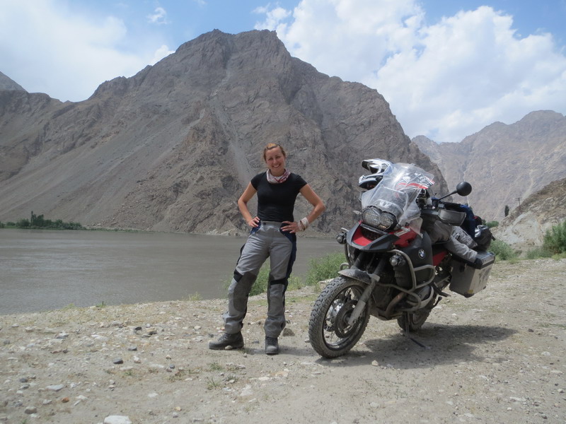
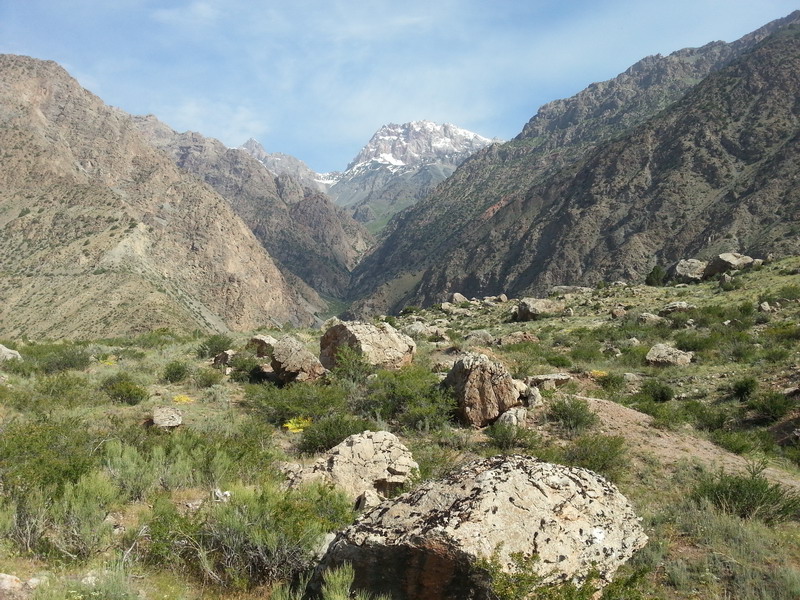
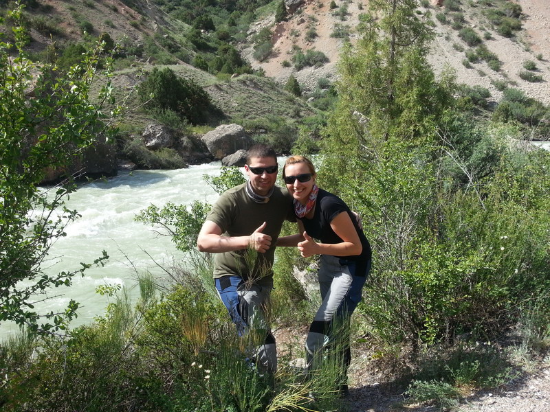
The ride to the Lenin Peak basecamp
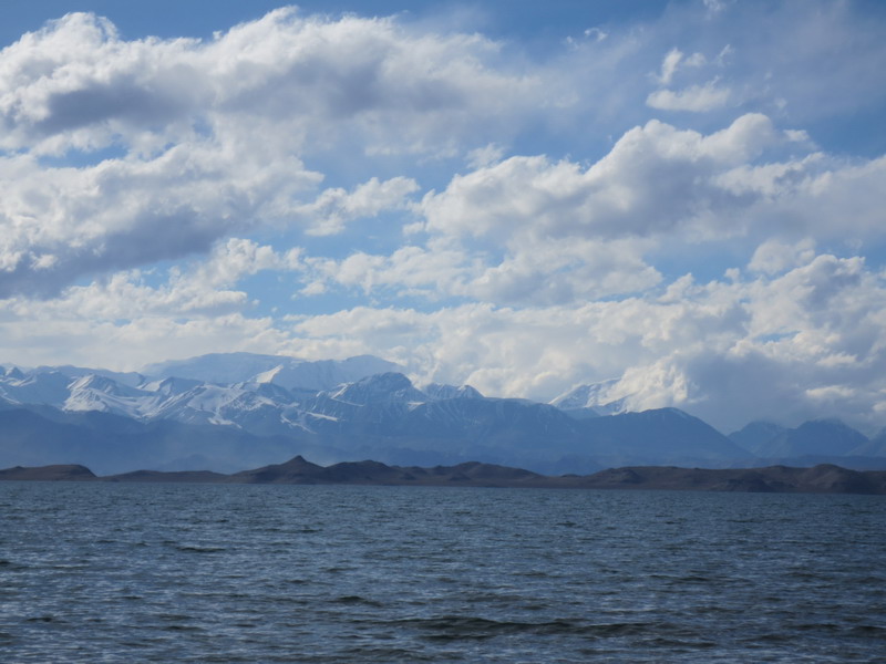
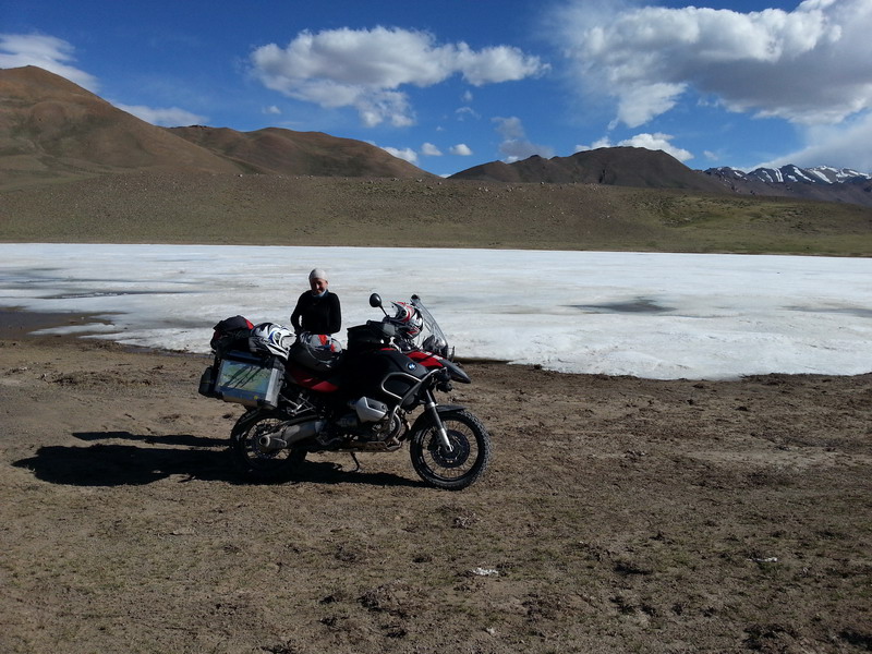
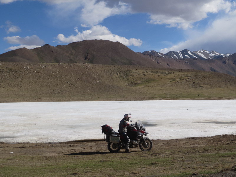
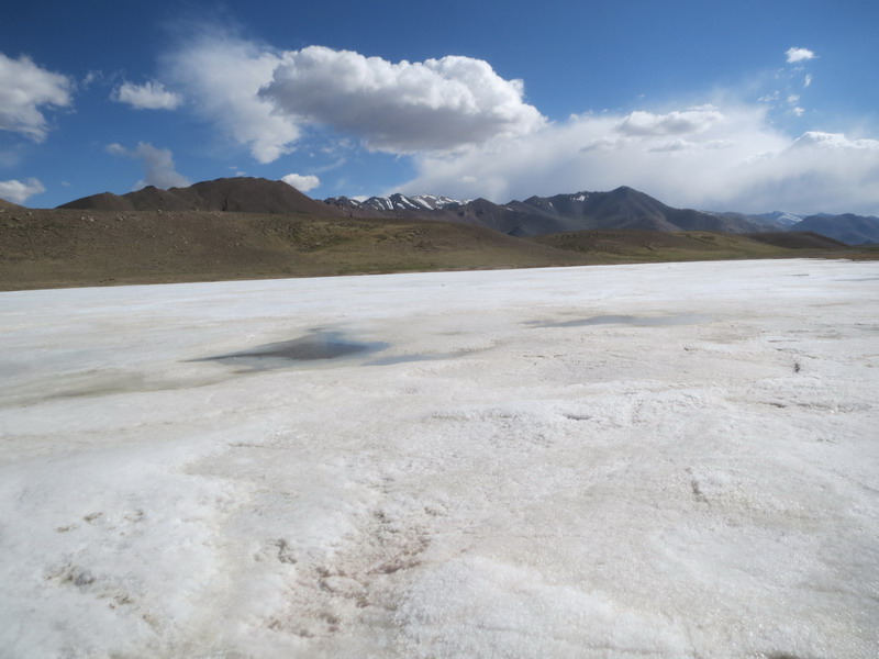
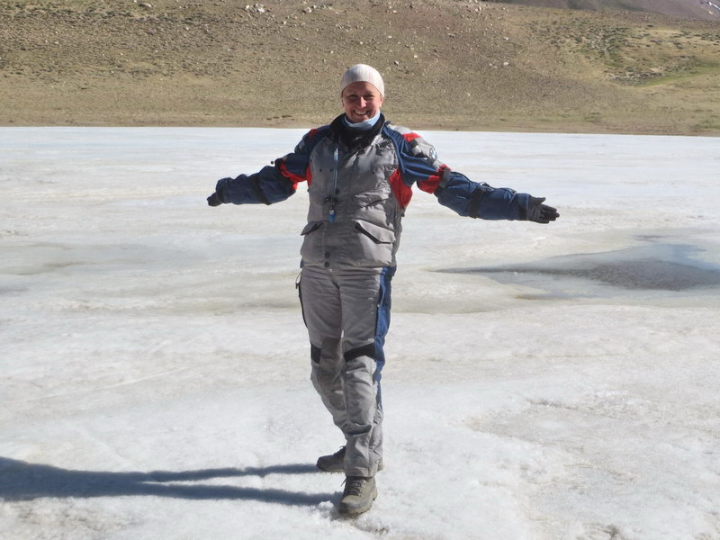
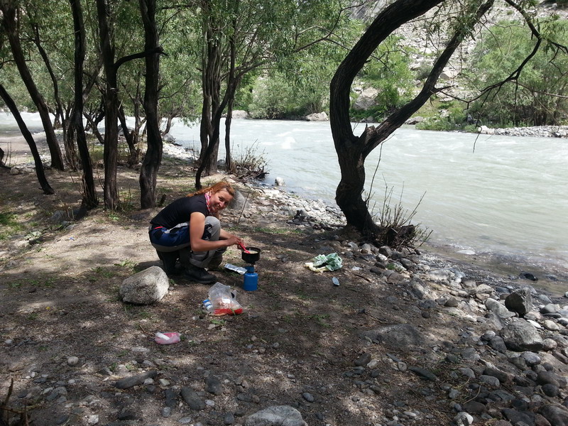
It was early in the morning when we woke up. The location was one of the lovely places we had on our trip. High in the mountains near a beautiful lake. The lake was very salty and cold though, a morning swim was out of the question here 🙂 For most of the year the lake is even frozen.
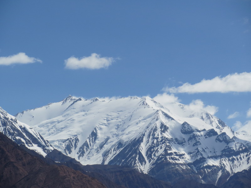
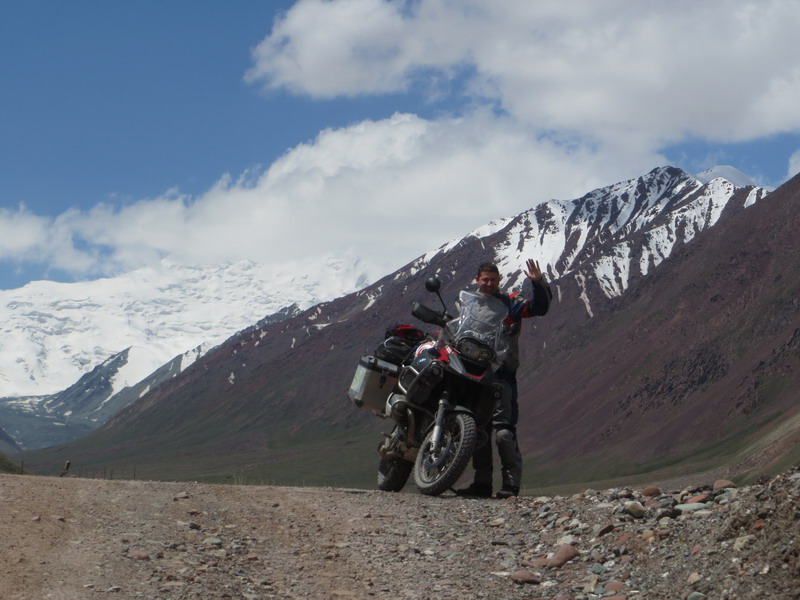
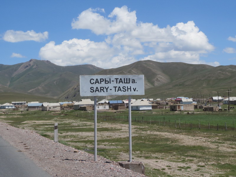
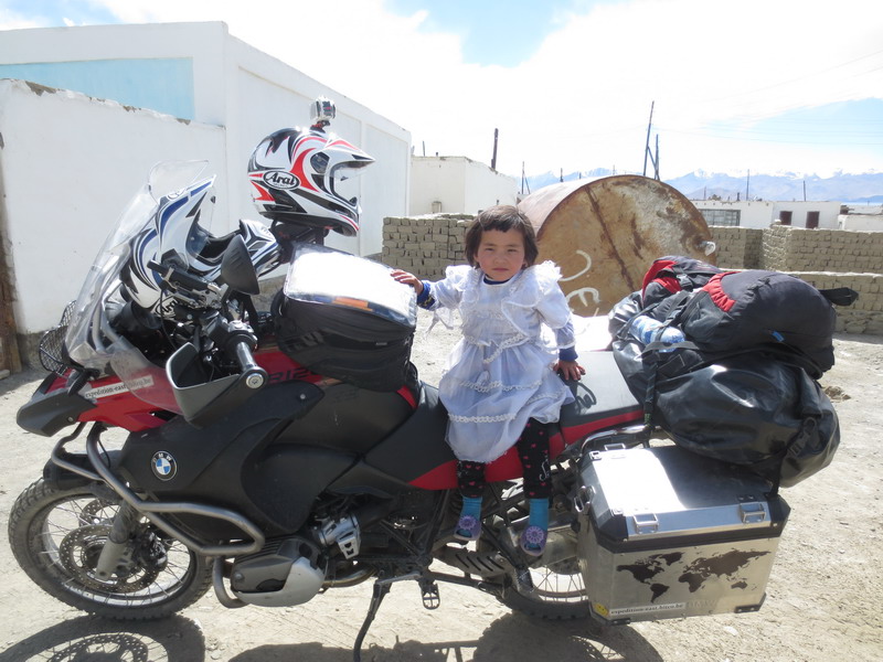
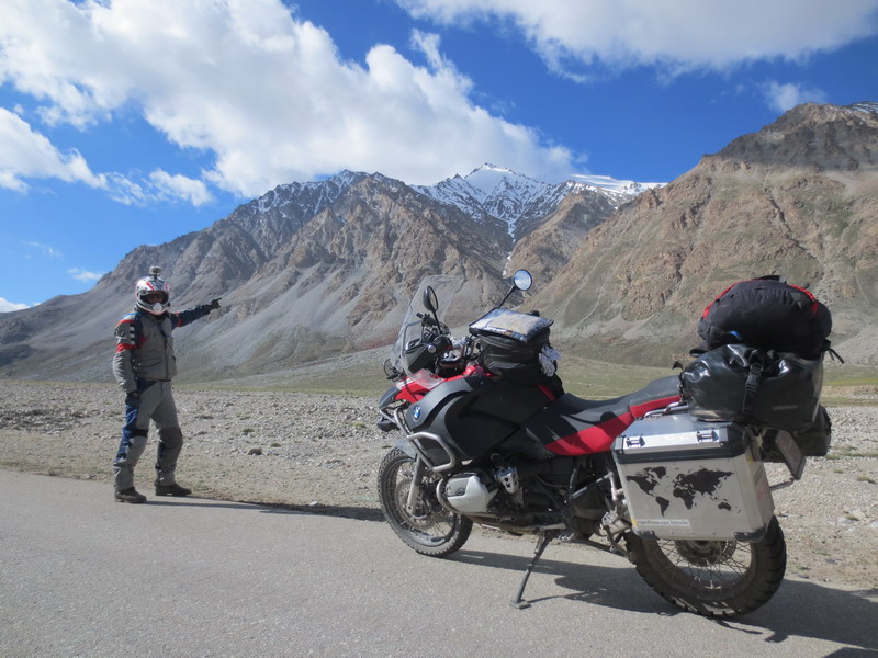
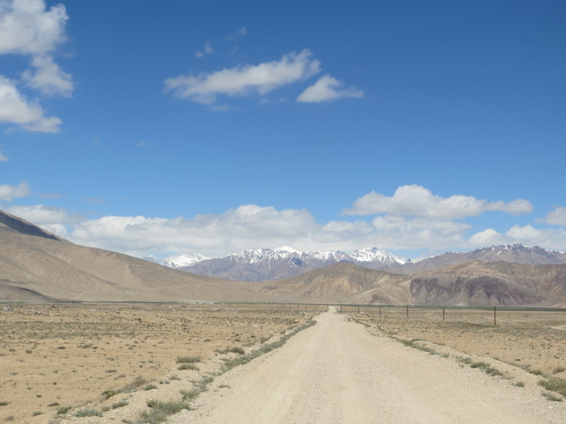
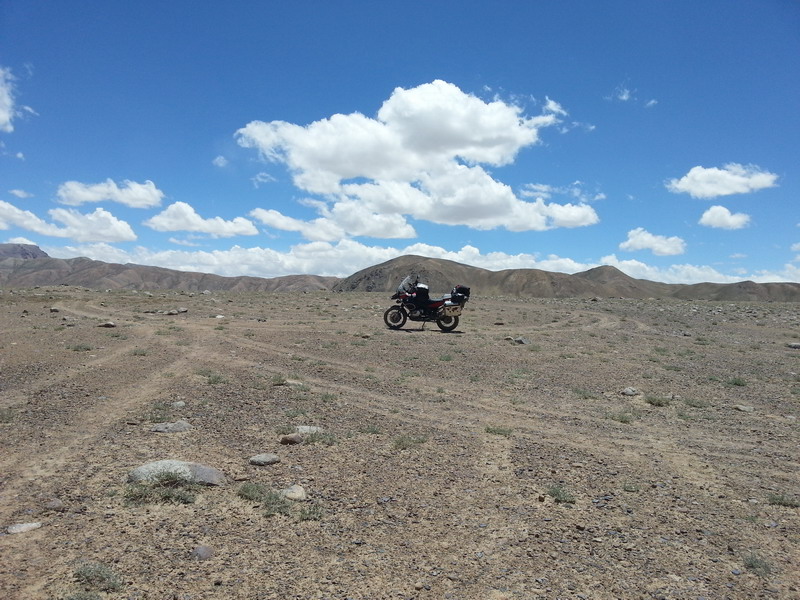
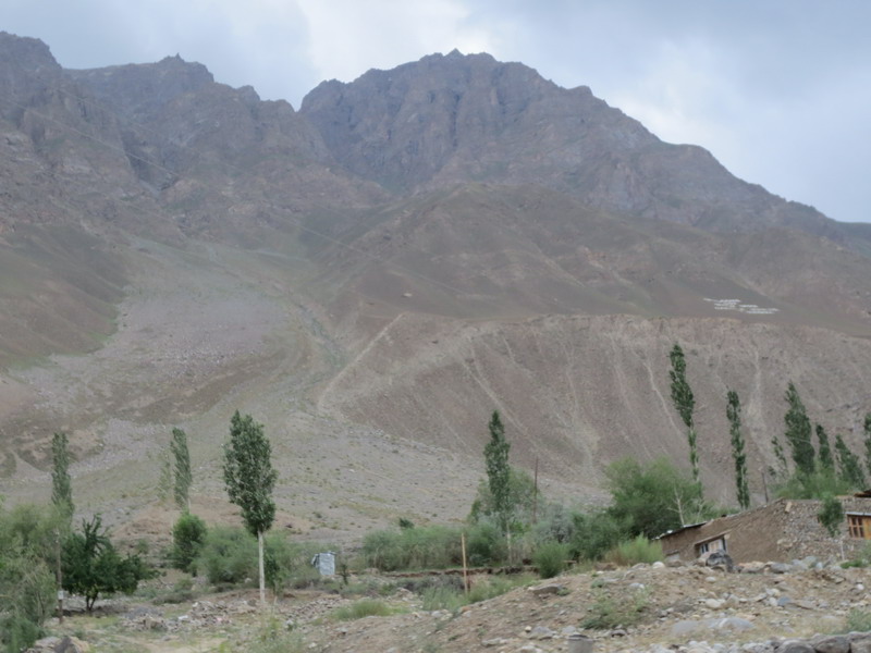
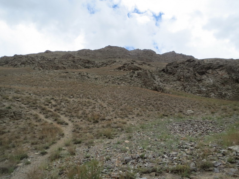
Our goal of the day was the Lenin Peak basecamp. This is one of the plus 7000m peaks in the area. We tried to see it from the lake using a compass, ruler and map, but could not find it. At least we knew it was out there in the distance. The trail to climb it however starts from Kyrgyzstan, about 50km west from Sary Tash.
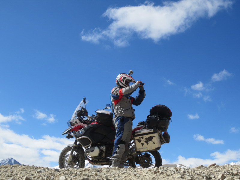
We had our last Tajik breakfast. Well in fact I should say maybe our first Kyrgyz breakfast because the people in the town were almost all Kyrgyz. We were ready to set off and climb higher with the bike. The bike had no problems with the altitude as well. Our Oddysey PC 535 battery did a good job.
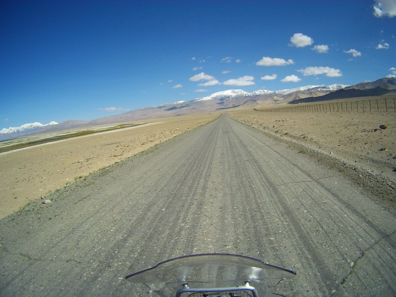
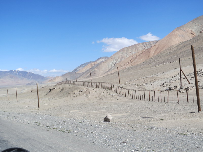
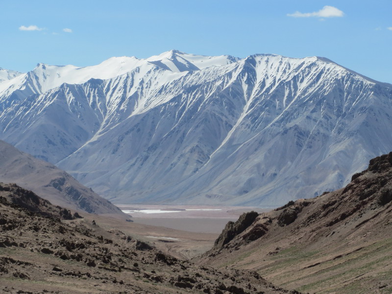
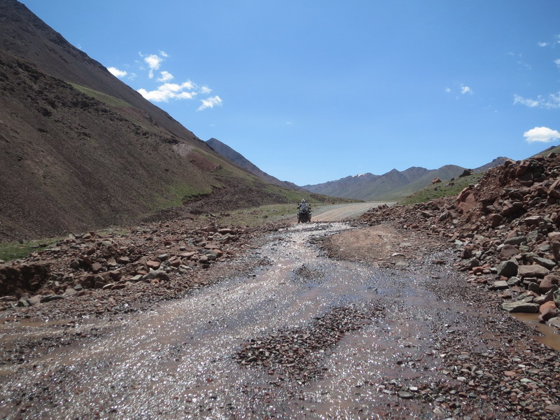
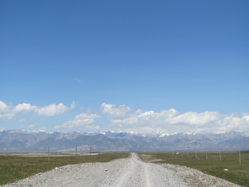
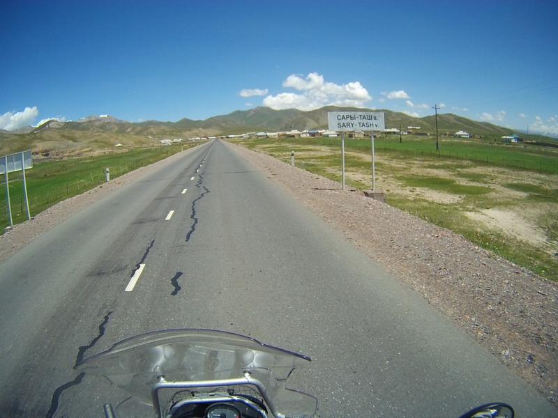
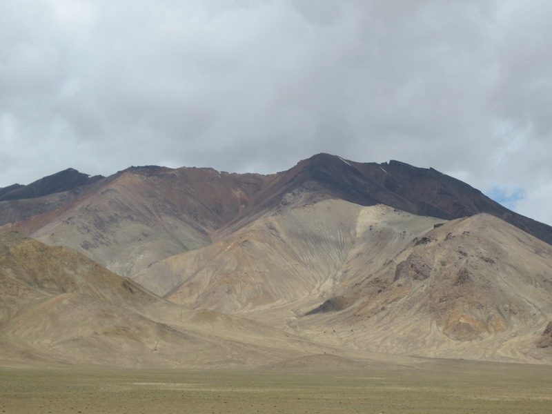
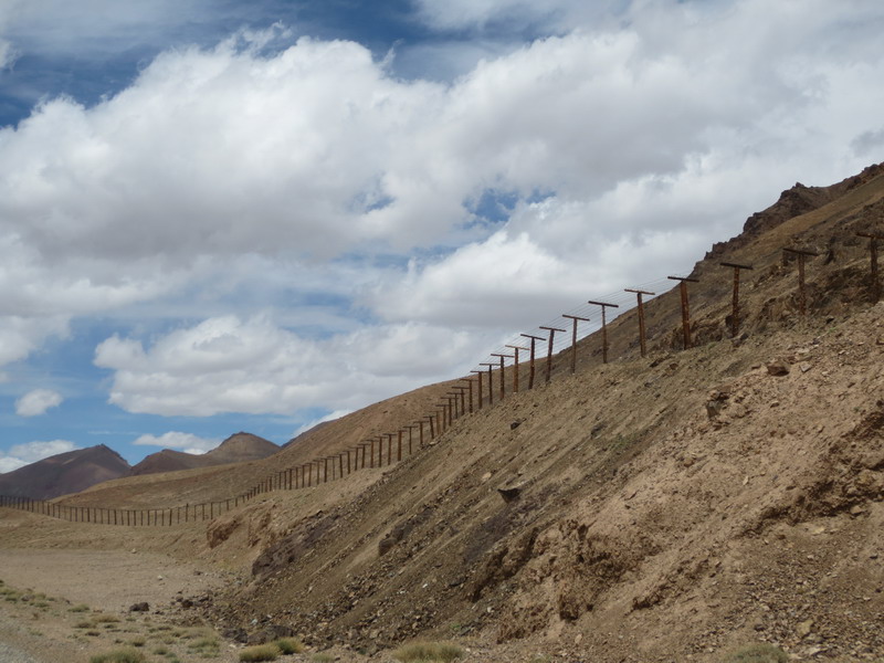
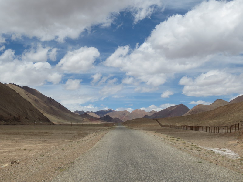
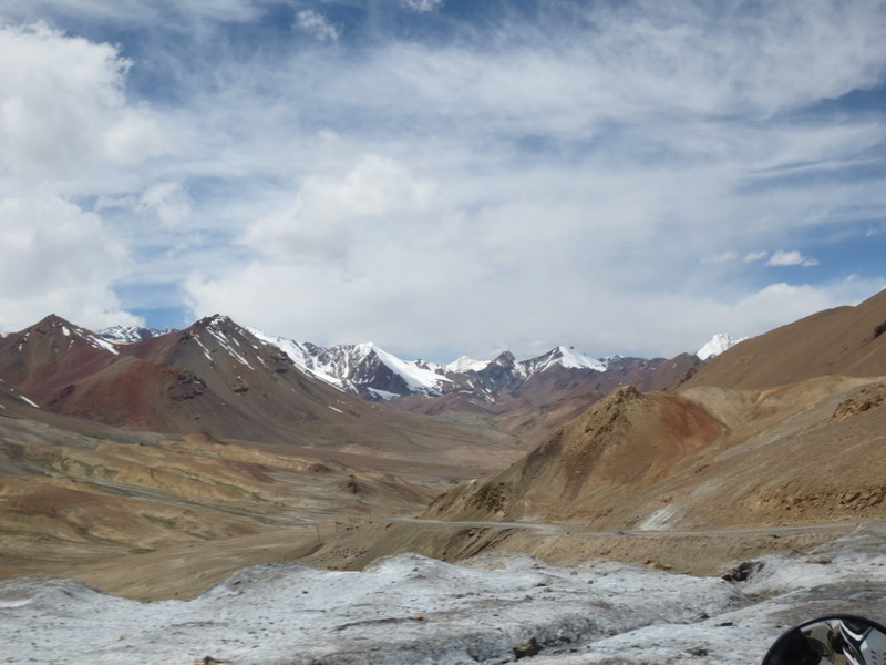
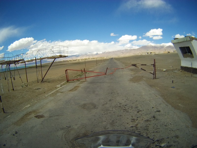
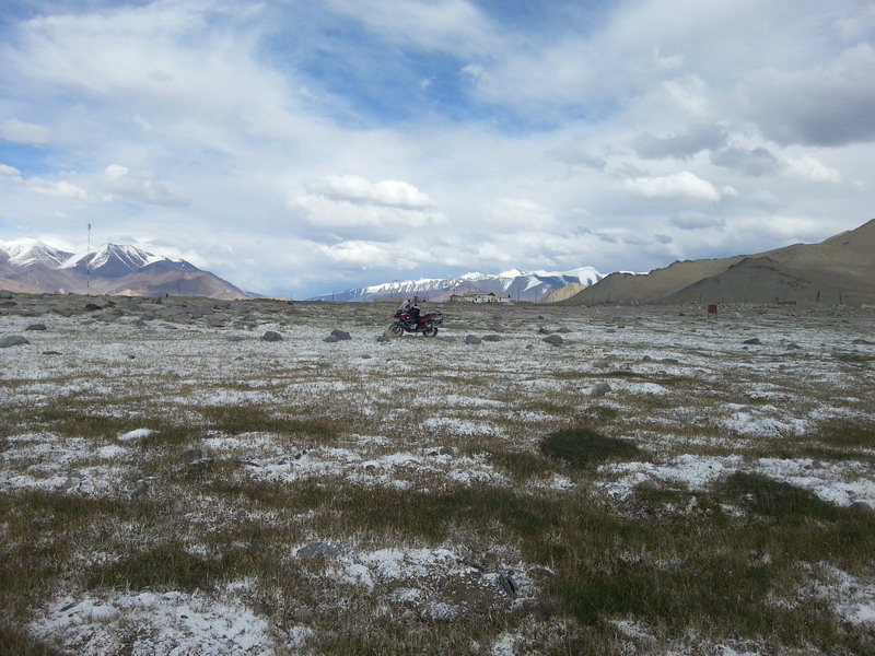
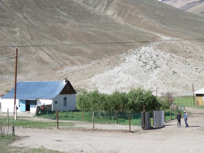
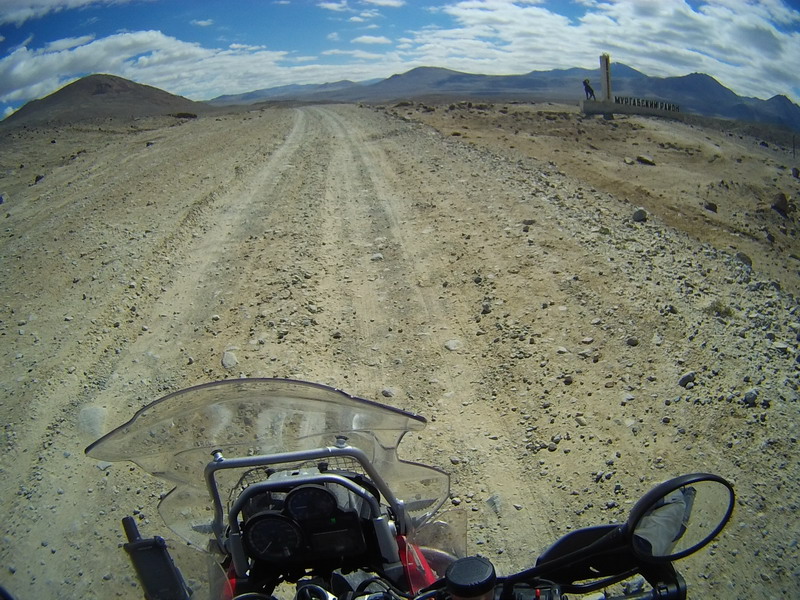
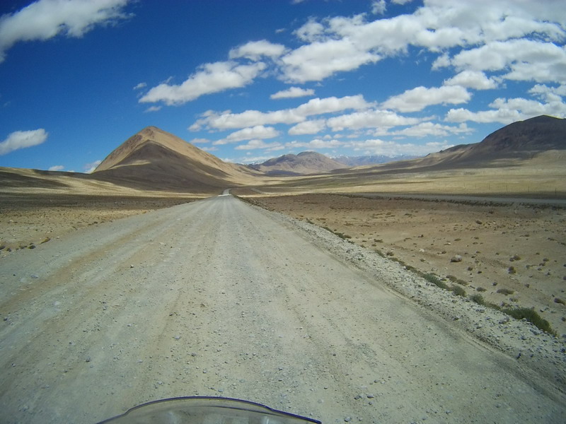
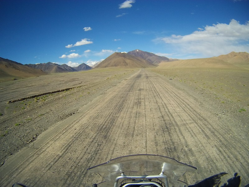
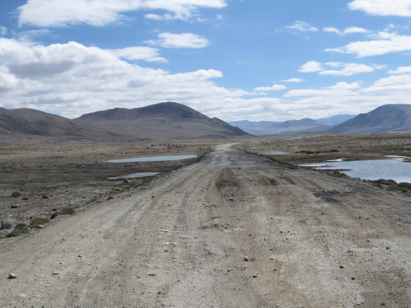
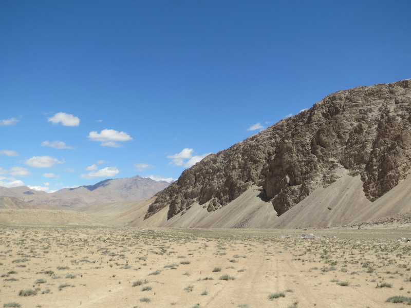
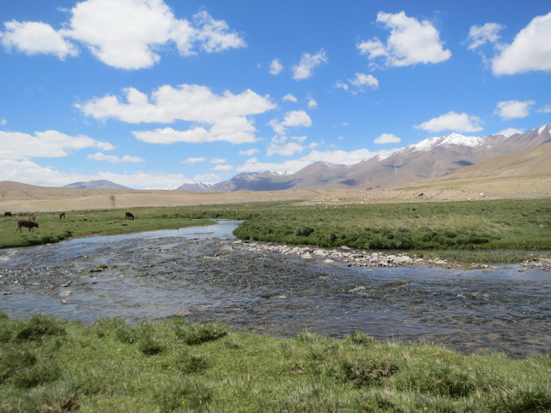
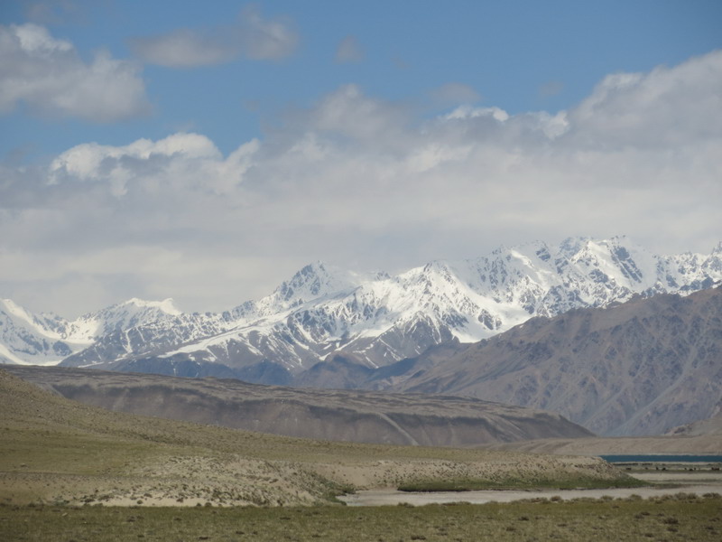
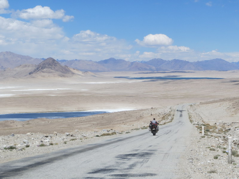
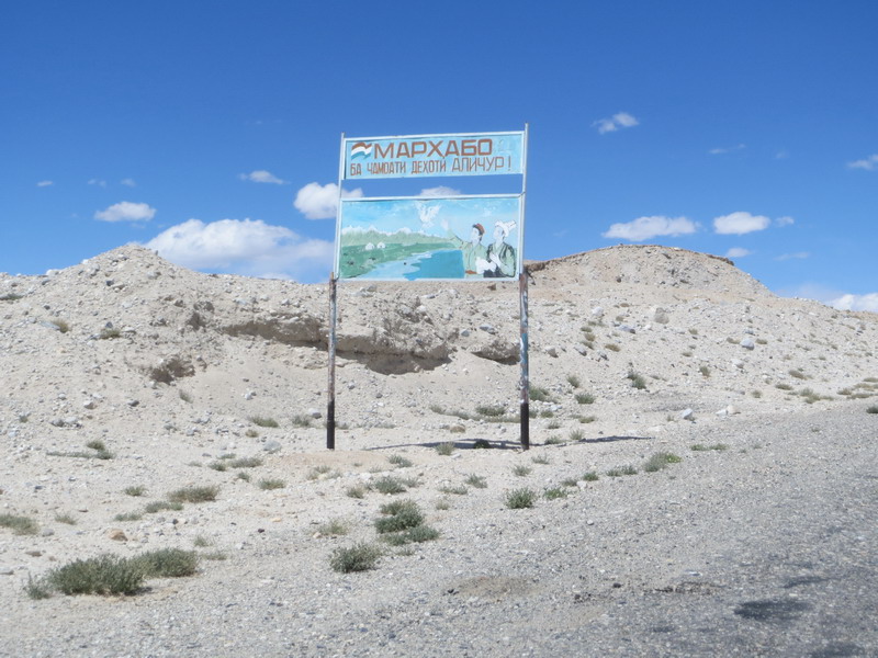
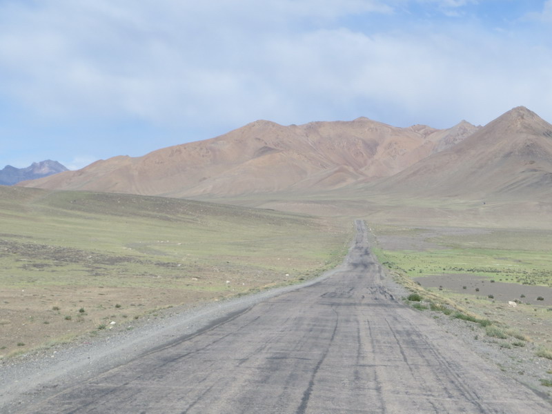
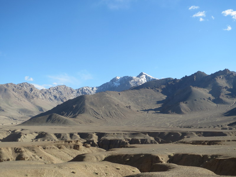
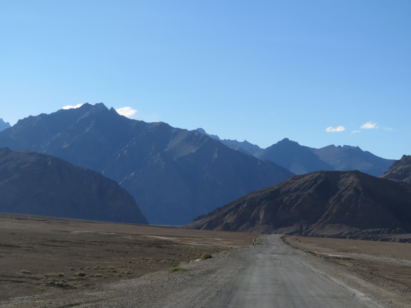
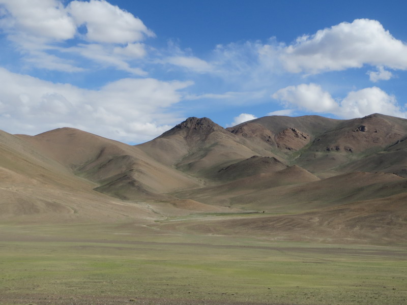
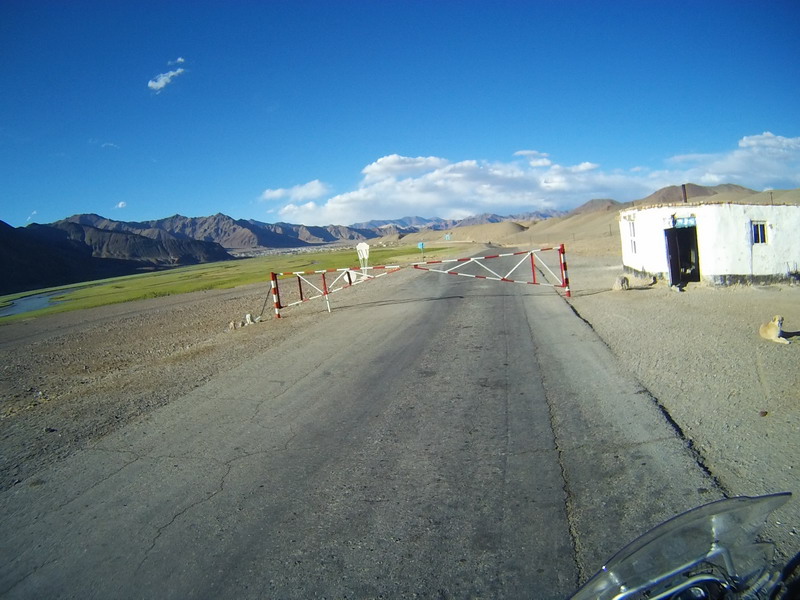
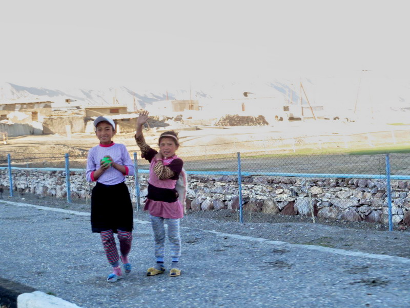
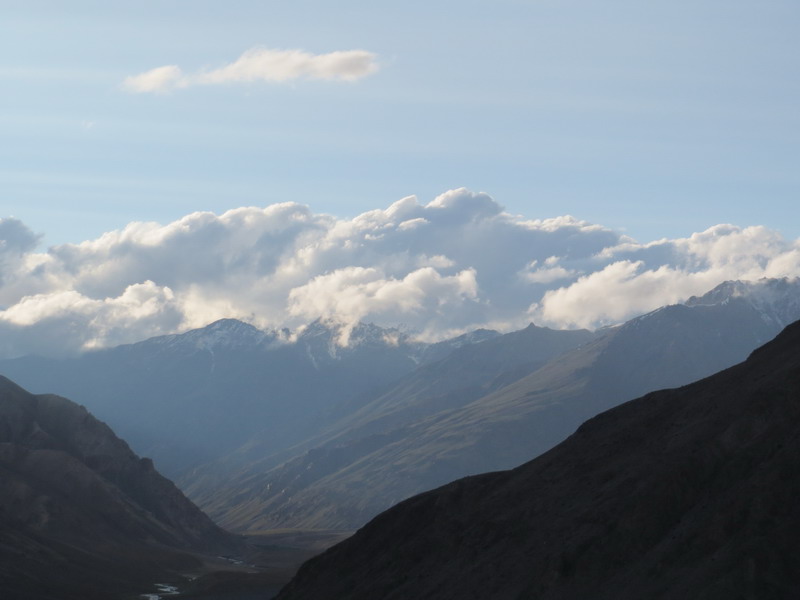
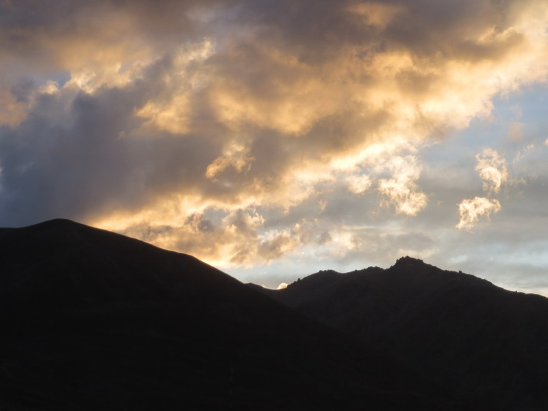
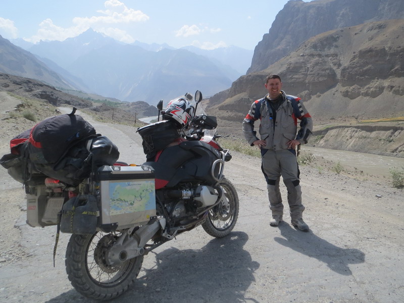
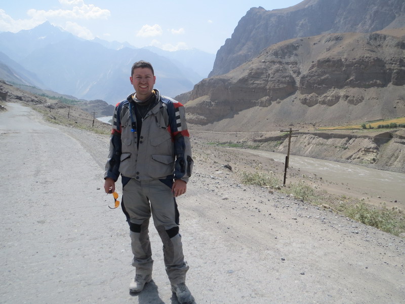
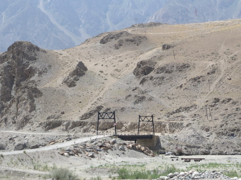
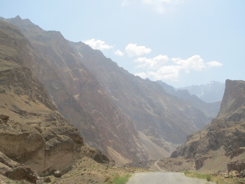
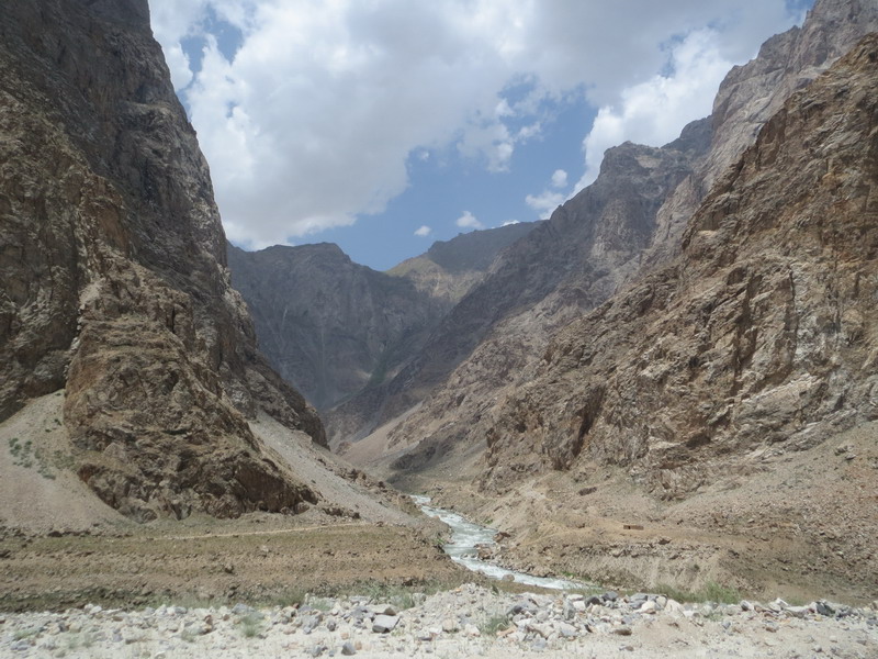
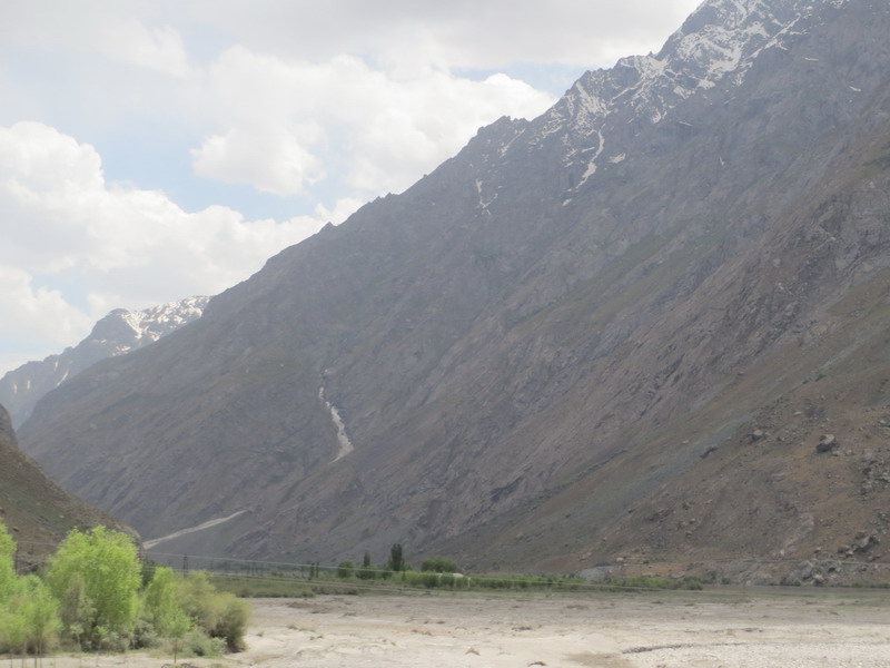
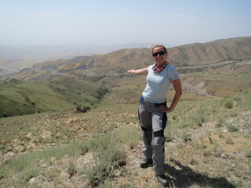
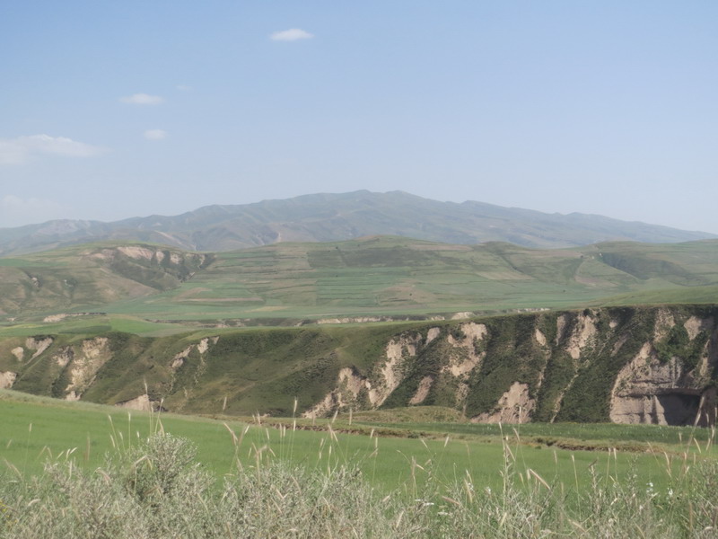
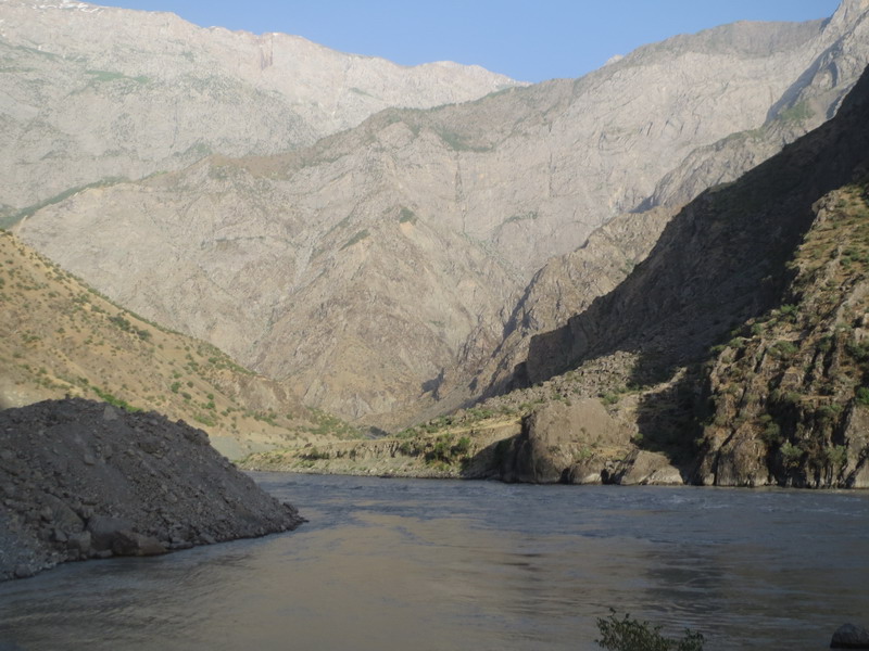
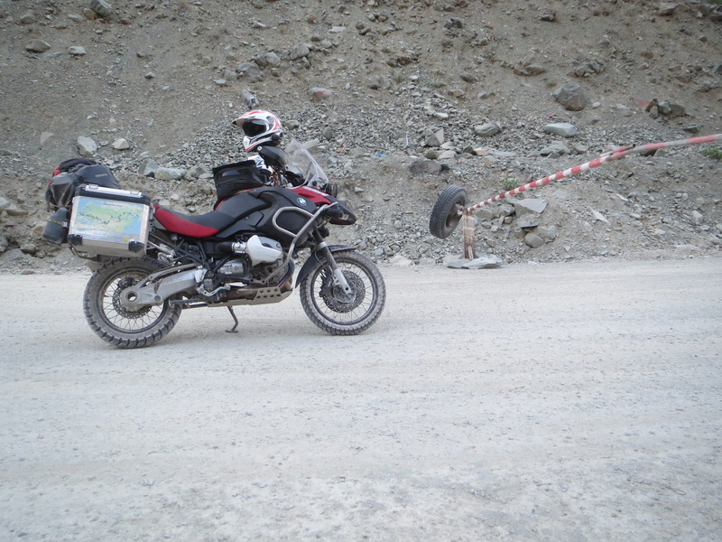
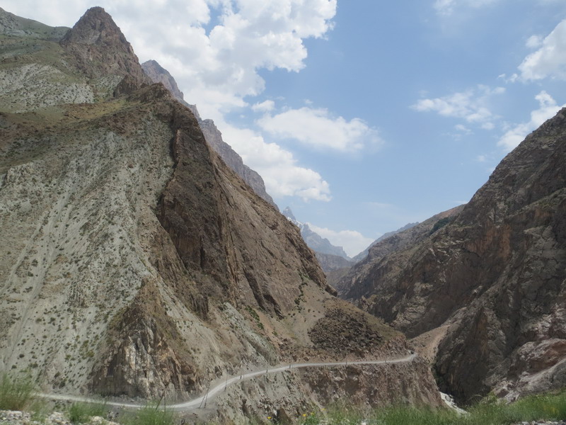
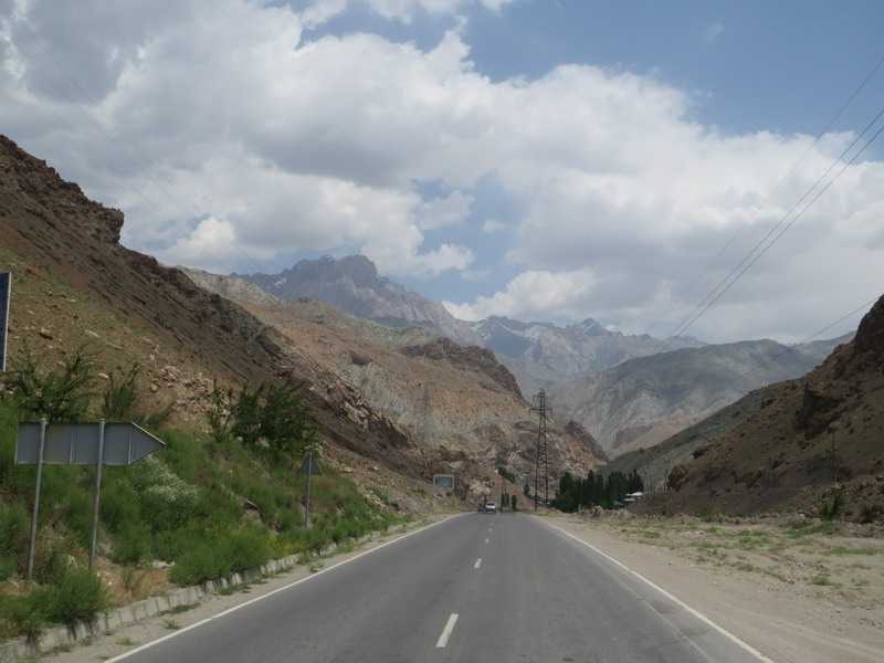
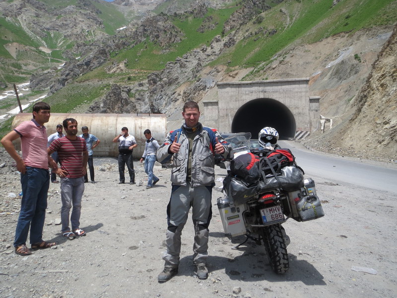
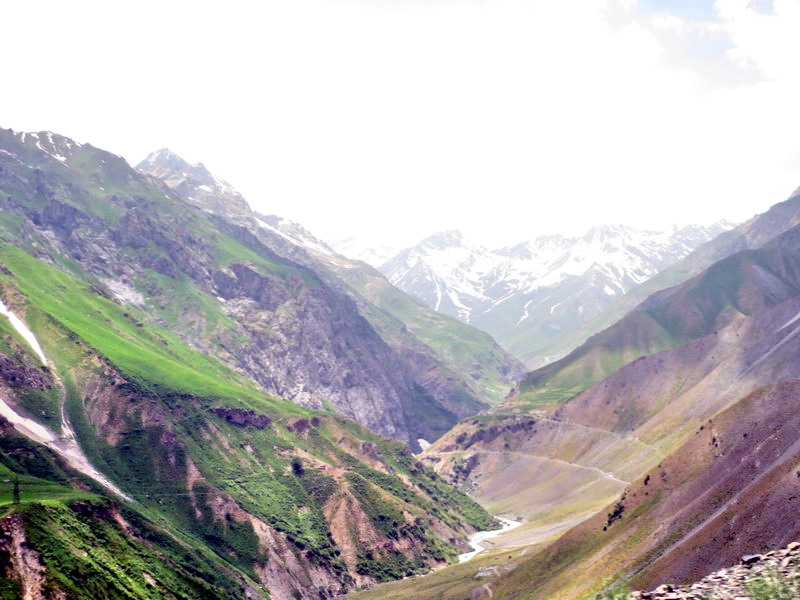
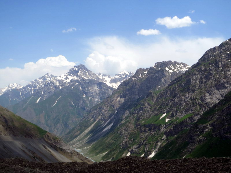
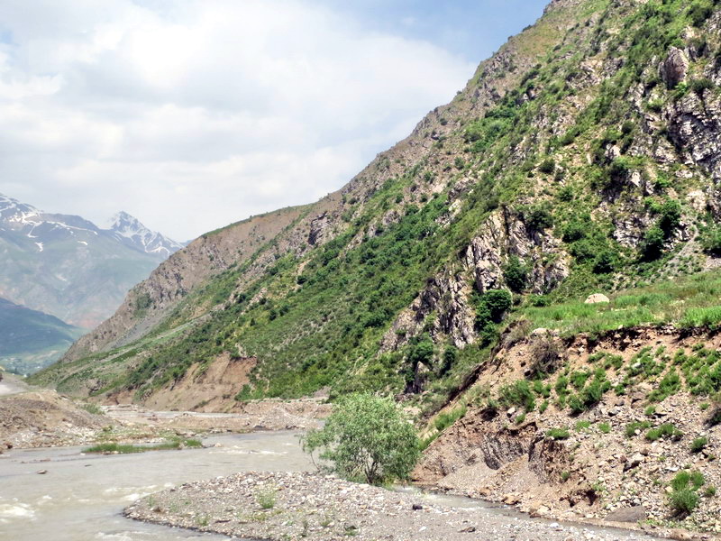
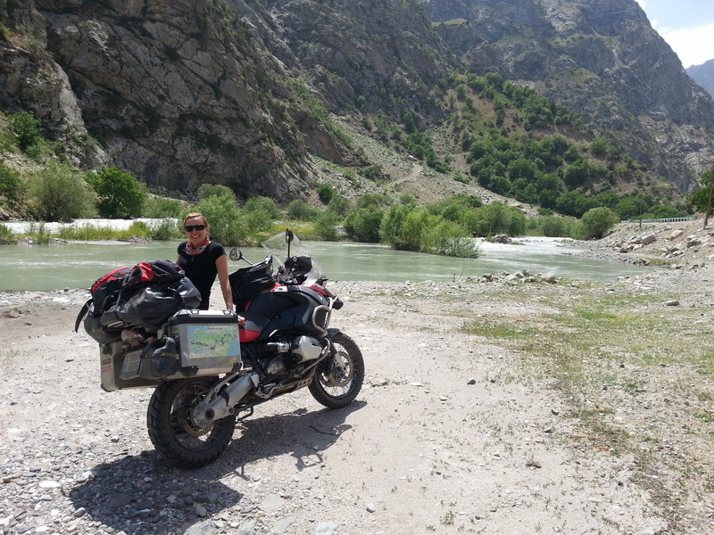
The views when riding were amazing. We rode close to Chinese border and were headed for the Tajik-Kyrgyz border post which is on the crest of the Kyzylart pass at an altitude of 4280m. It is known that the guards can be a bit corrupt here, but we had no problem at all crossing.
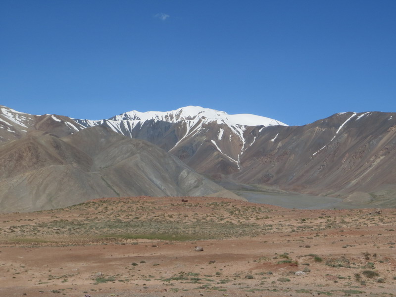
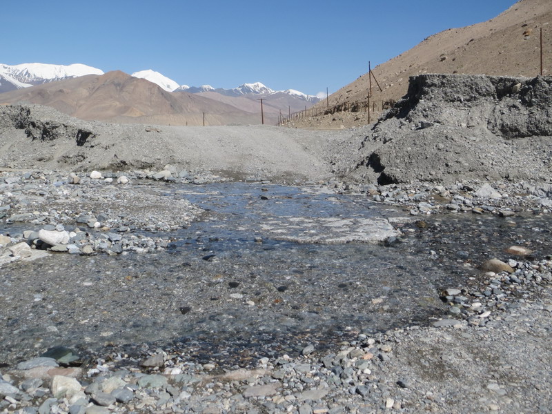
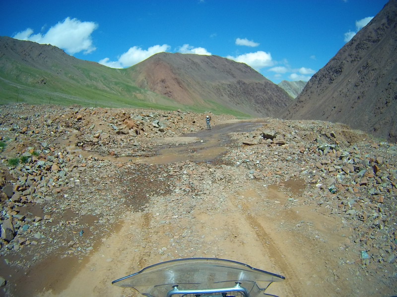
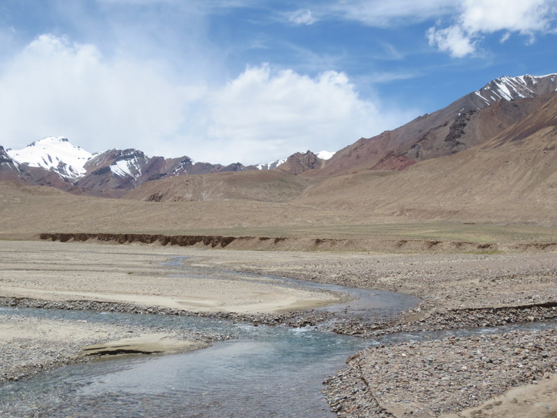
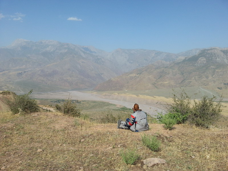
There were some small rivers to cross during the way, but nothing special. When we almost reached the summit of the pass we stopped for a moment to glance back on the Tajik landscape.
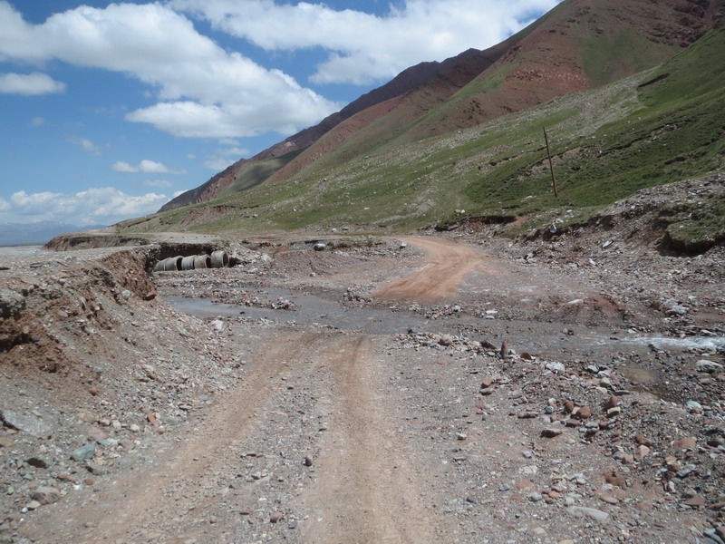
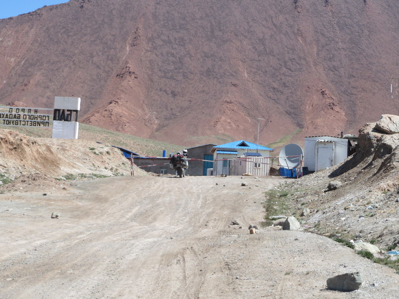
We said goodbye to Tajikistan and entered the border post. Everything went very smooth. Now we were on the way to the Kyrgyz post which is about 20km downhill. It can be a little muddy and wet, but we had no problems. There was also a collapsed road. The crossing on the Kyrgyz side went even smoother. I think it might have been a record in time. Before we knew it we were in Kyrgyzstan and you could know you are in a different country.
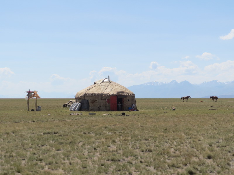
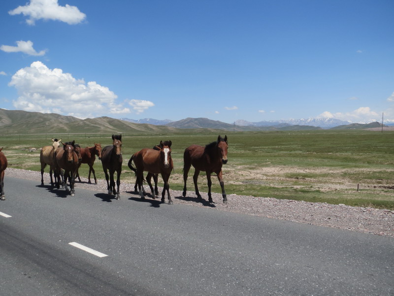
It immediately looked a bit like Mongolia to me. Steppe with grass, horses, yurtas. After a while the gravel stopped and we were on a asphalt road with some potholes. We did bad road stopped we were on a new asphalt road which was perfect!
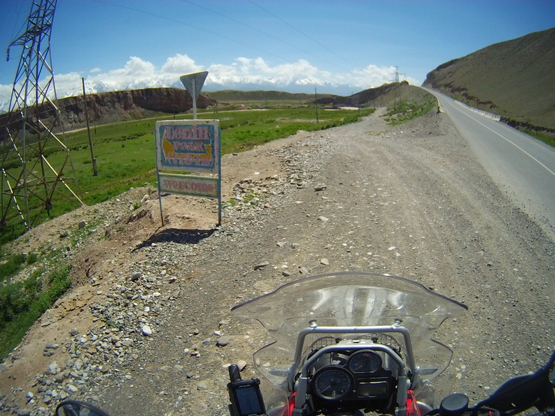
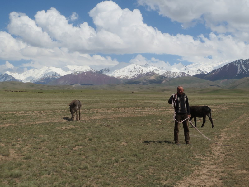
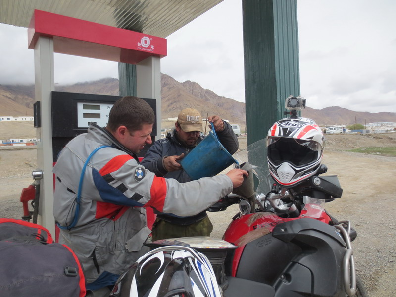
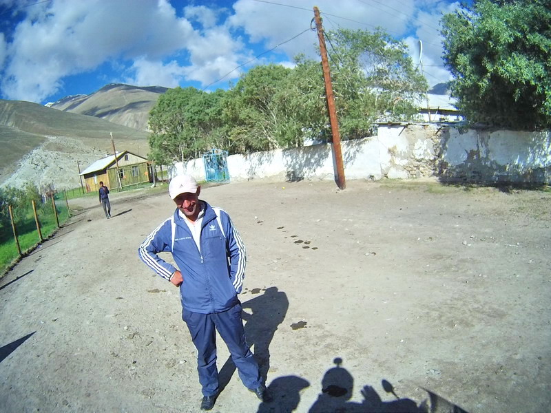
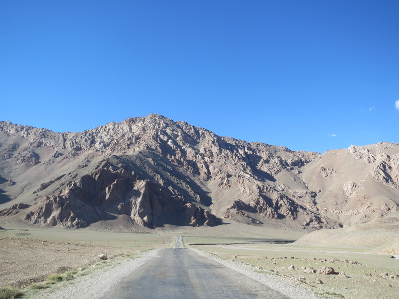
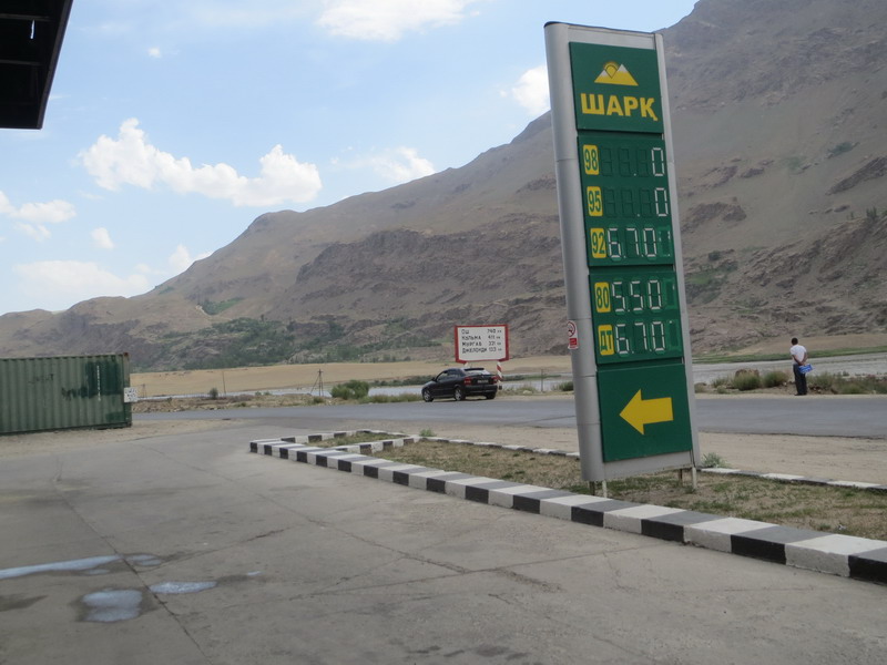
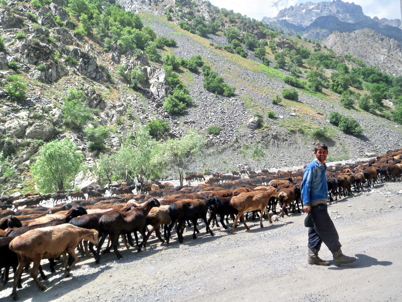
We headed into Sary Tash to buy some drinks, but fuel was not needed. The GS was really economical and at times I would have to fuel up after 500km or even further. We asked about Lenin Peak and took off. We just had to follow the perfect road for 50km in western direction. On the road I had to be careful for horses, cows, sheep, people. But it was good to be on good asphalt again.
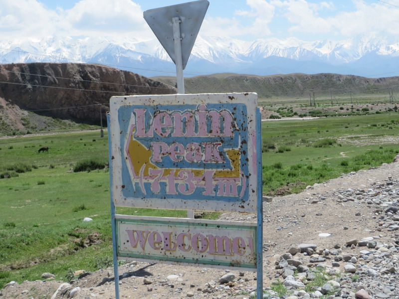
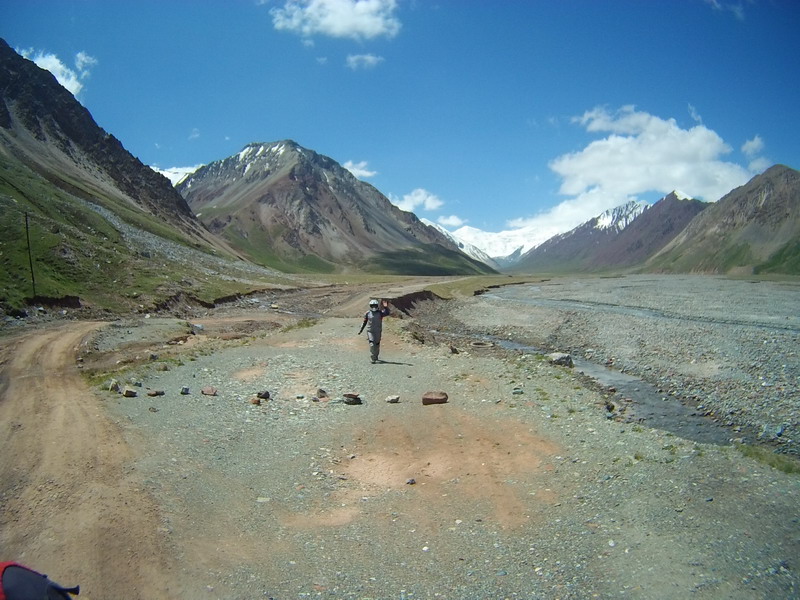
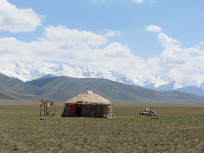
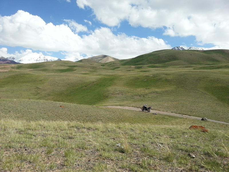
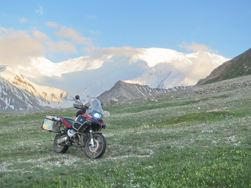
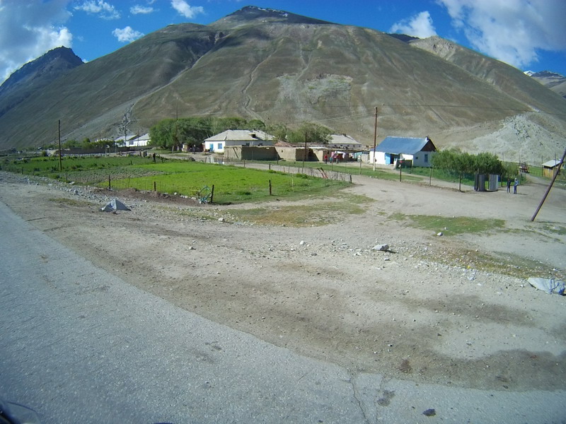
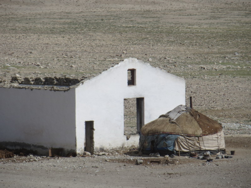
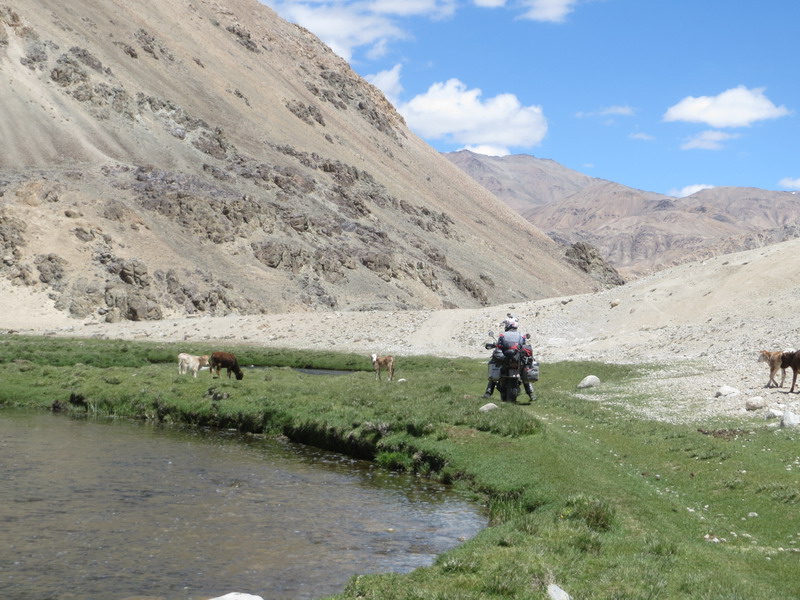
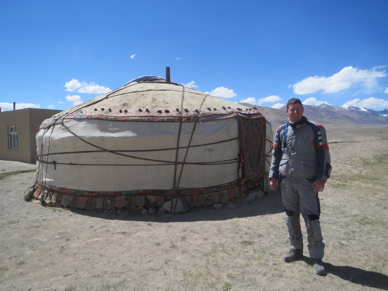
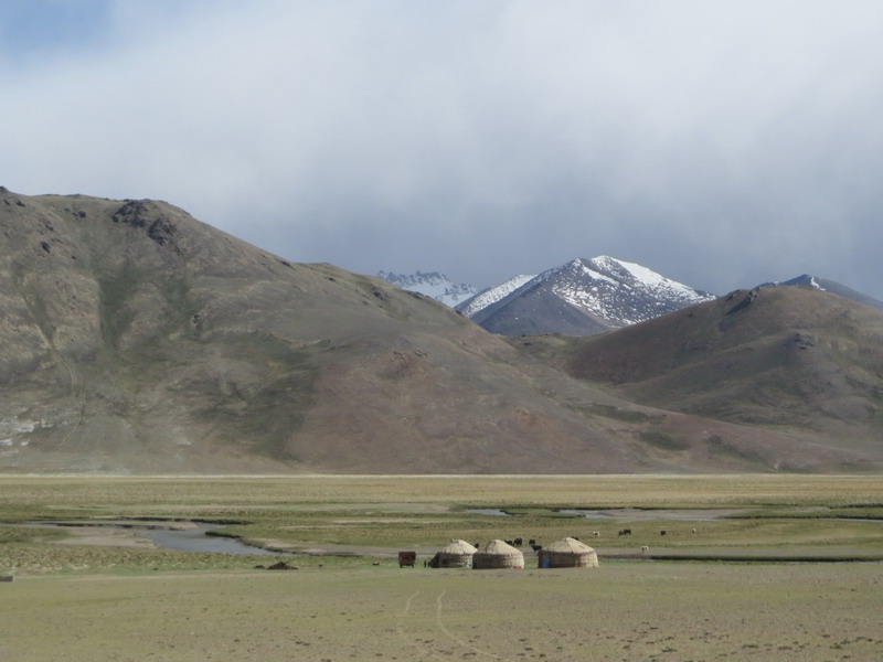
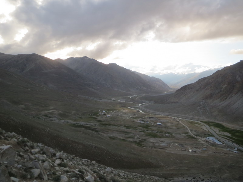
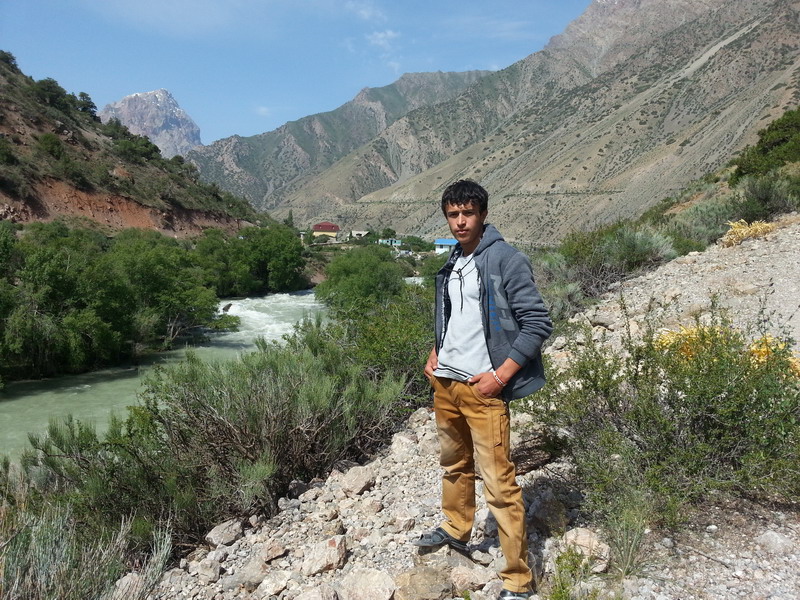
After 50km we got in the town of Kashka Suu and we turned left. The asphalt stopped again, and there was a small track now through the fields heading for the Lenin Peak basecamp. It was a beautiful track and we saw some yurtas on our way. We were in the glen between two mountain ranges.
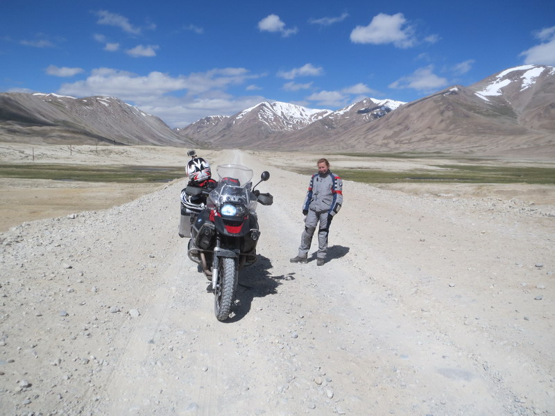
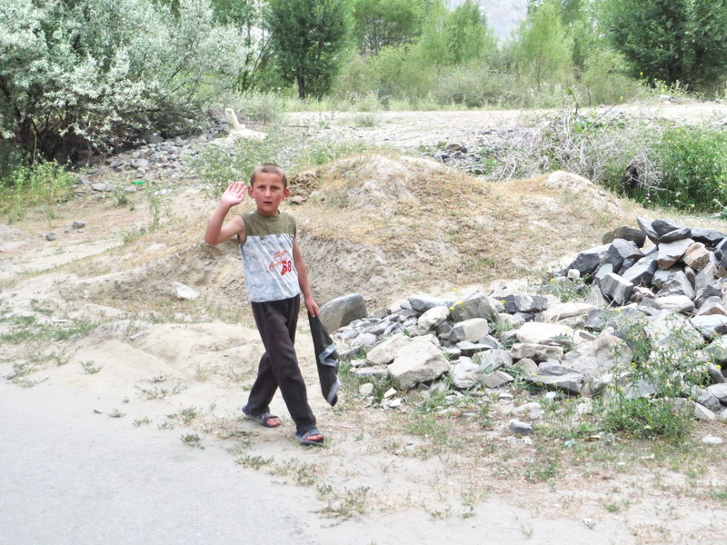
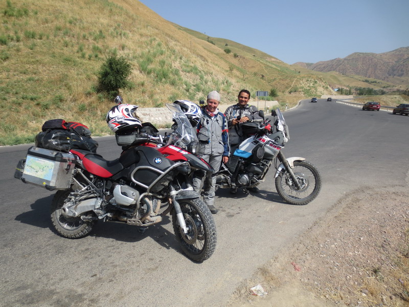
After some time we noticed a green Ural sidecar in the distance. I first thought it was a local but getting closer I saw he was wearing a nice goretex jacket. We had a chat with Axel from France. He would be some in Kyrgyzstan and was also on the way to the base camp to make some snaps. I was a bit jealous as he had so much room to carry stuff, he had a great camera for example with him. He wanted to take some snaps of the peak to show his friends who have climbed the mountain last year.
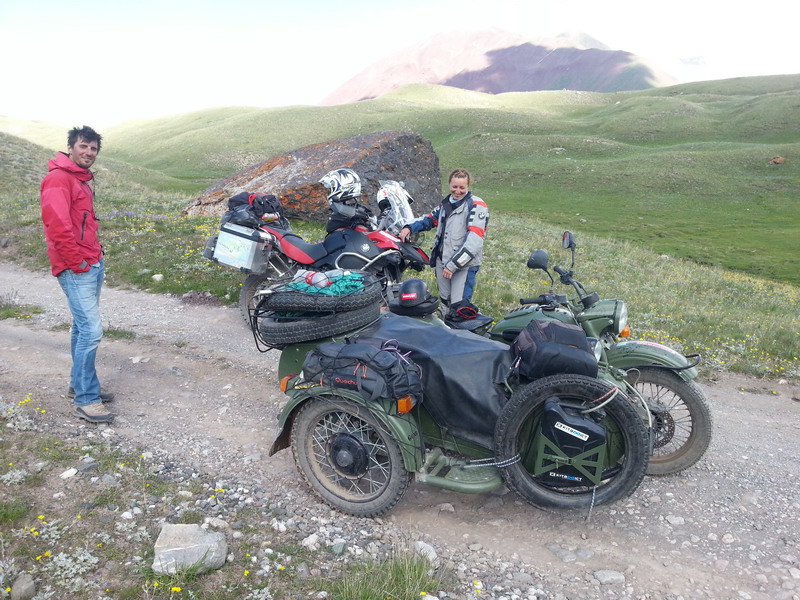
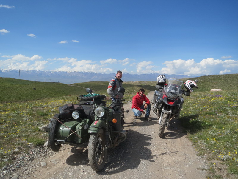
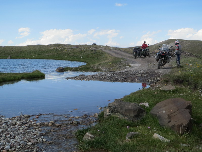
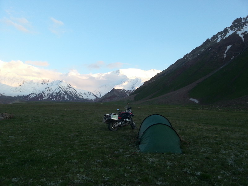
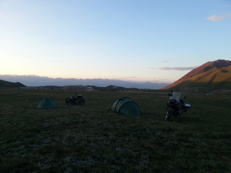
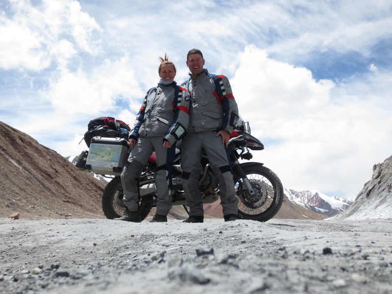
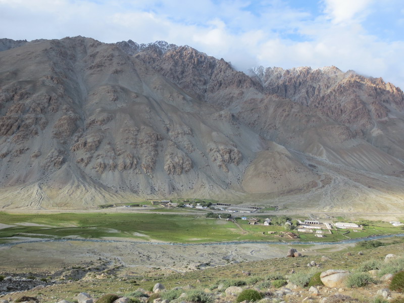
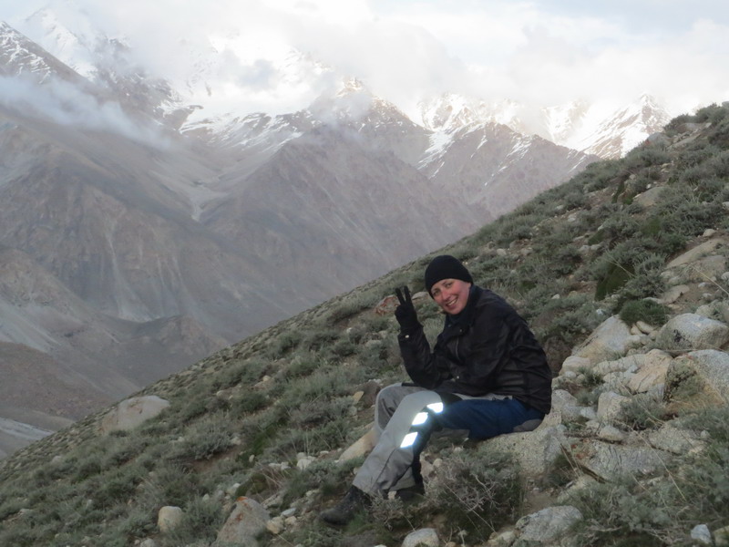
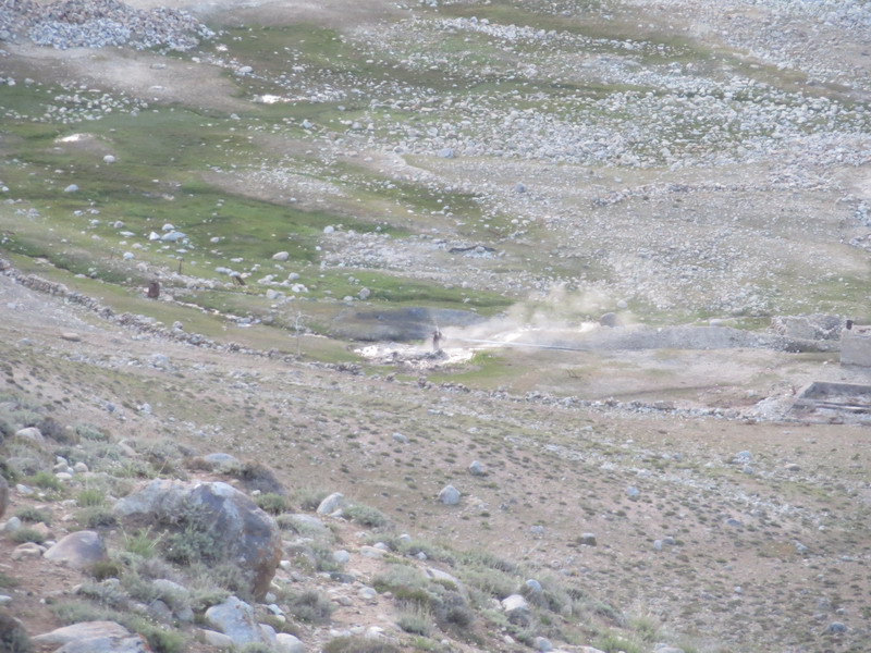
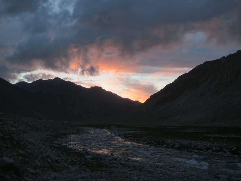
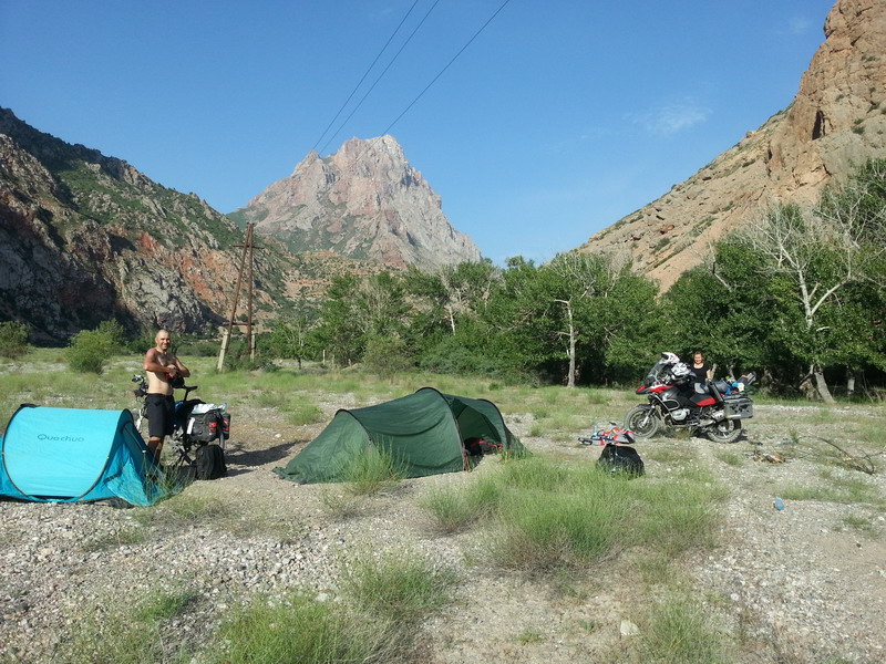
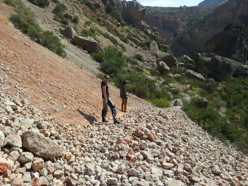
We decided to ride together to the base camp and camp at a good spot. It was good to be together as the terrain got a bit more difficult with some watercrossings. In the evening we got at the camp, but it was pretty quiet. Actually only the first team to climb the mountain was onsite.
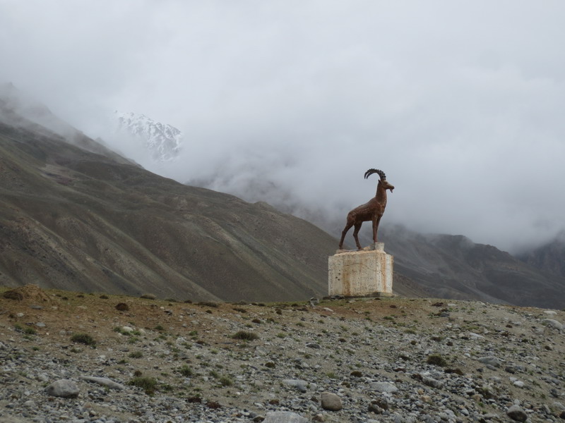
On the higher side of the camp we found a nice spot. We put up our tents and got ready for the night. It could be a cold one as we were at 3600m. I was not tired enough and decided to go for a walk. I took the bike and rode as high as I could. Under the way I passed the dark side of climbing with a monument to remember climbers who had died climbing the mountain.
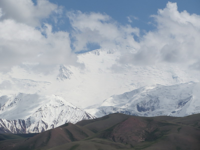
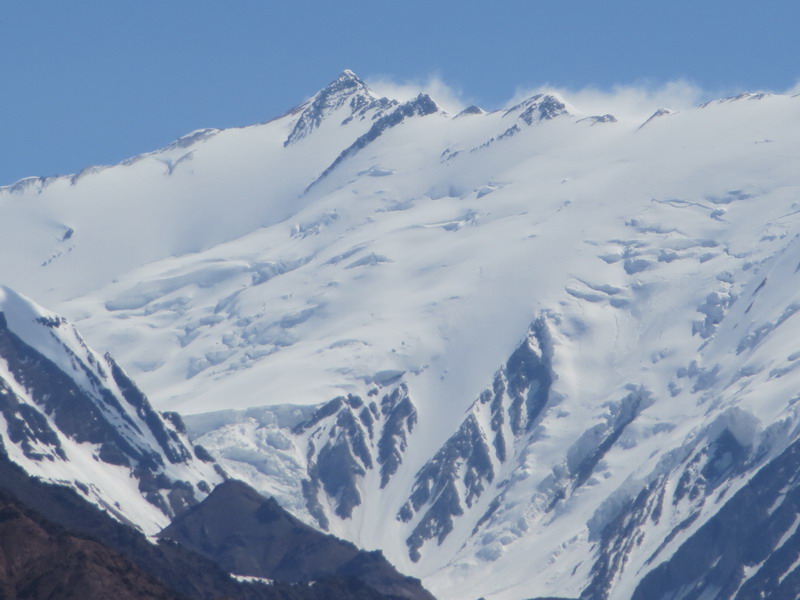
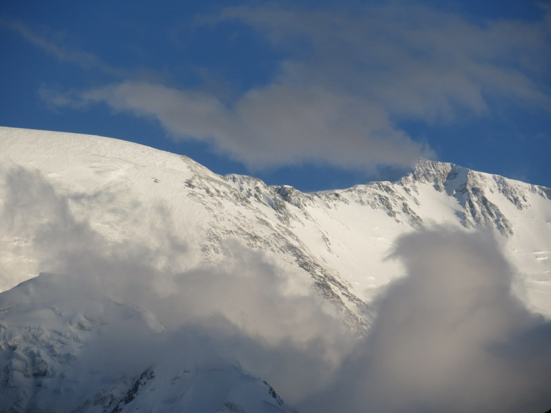
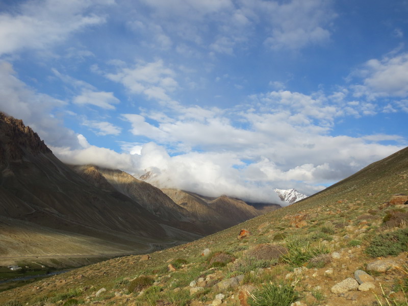
When it got too steep, I left the bike and started walking. It was a nice trail and I was alone with a view on the Lenin Peak. I kept walking until I hit a river which was really hard to cross. In the evening there is more water. As it was getting dark as well, I went back.
We had some food in our tent and called it a day. It was a great location again to sleep. Personnaly I am a fan of nice flats with views, but this beats it by far.
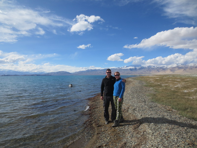
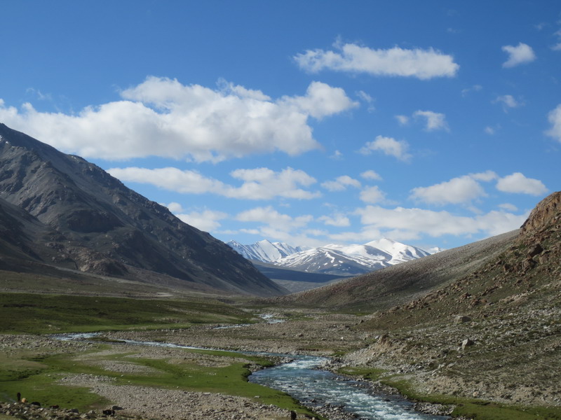
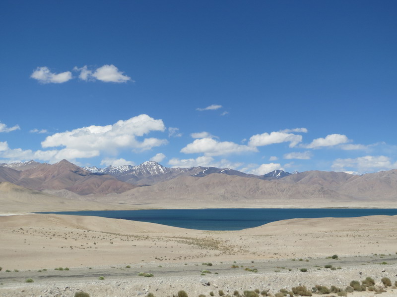
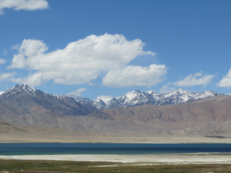
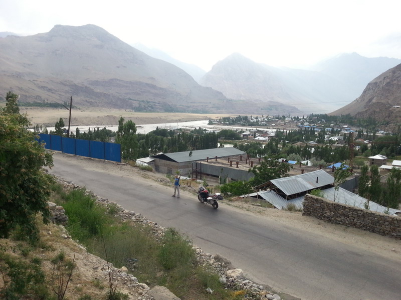
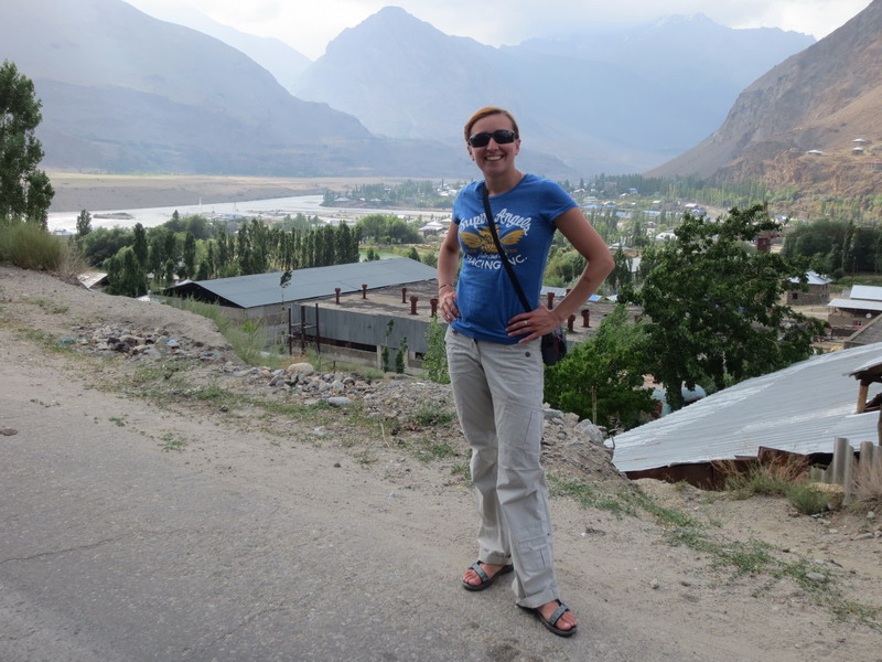
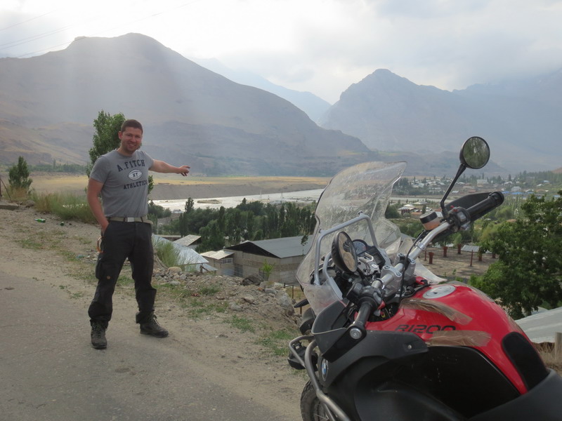
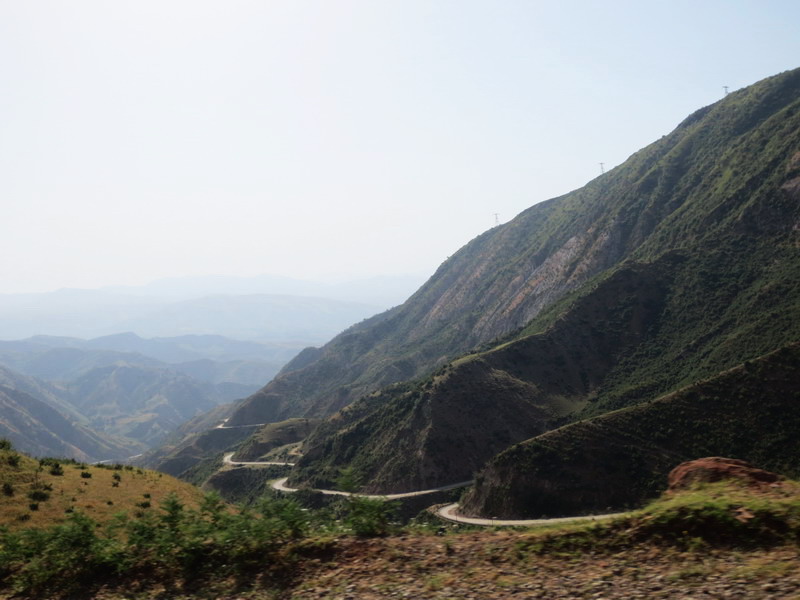
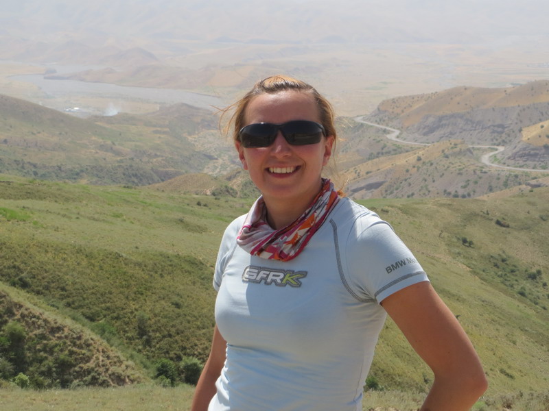
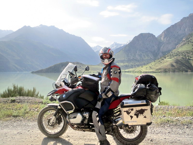
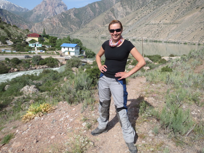
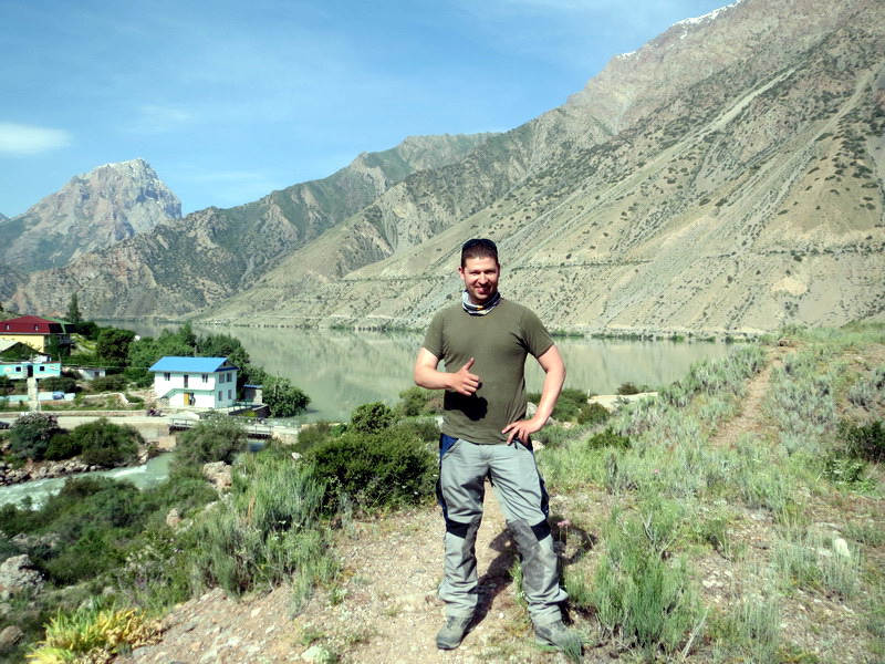
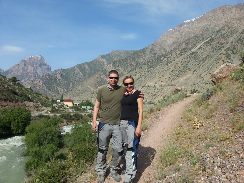
The black lake of Karakul
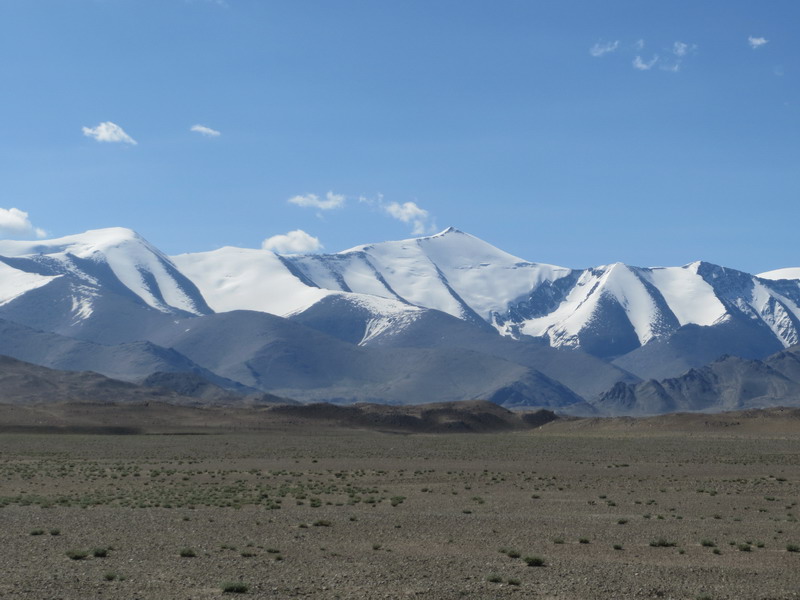
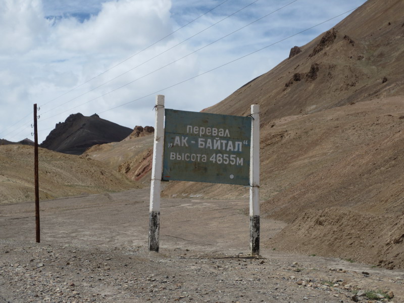
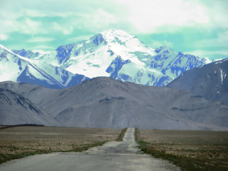
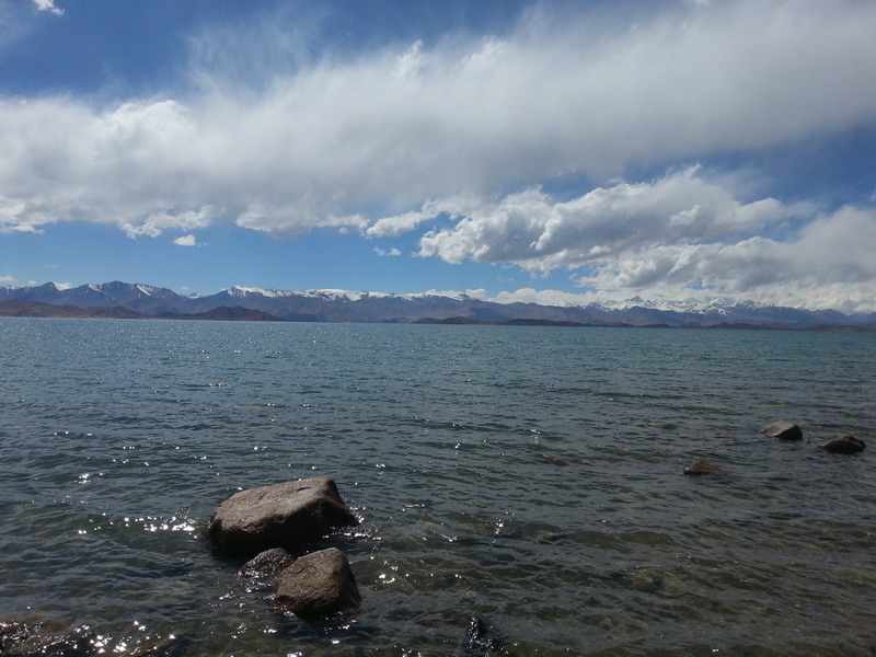
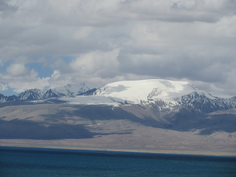
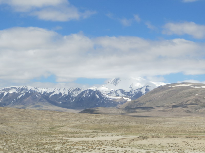
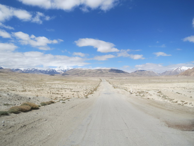
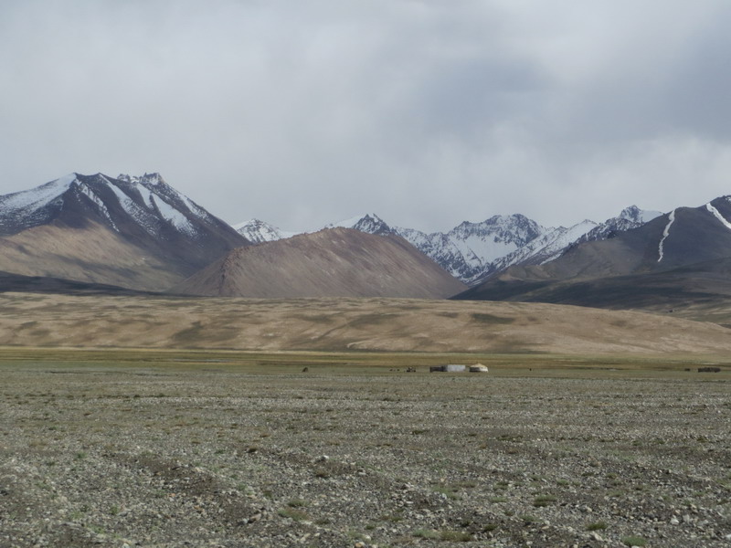
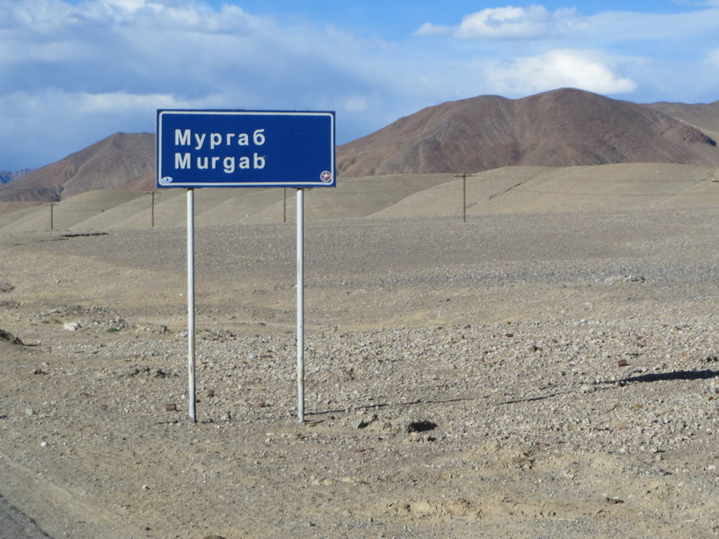
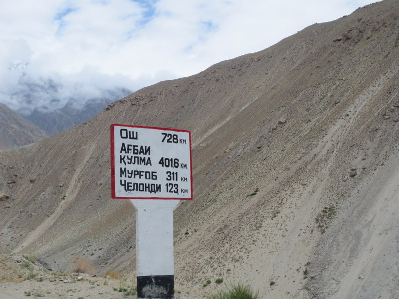
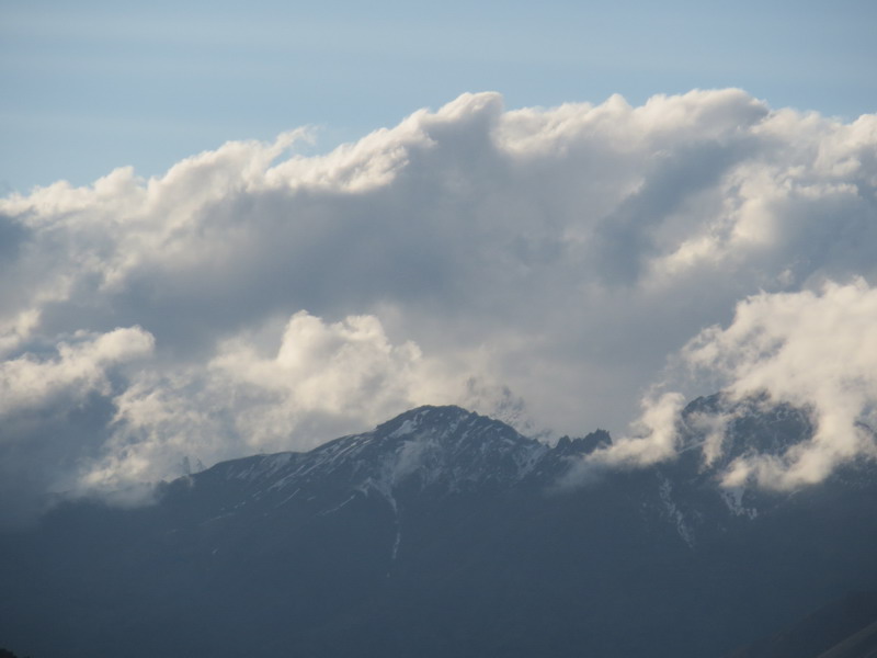
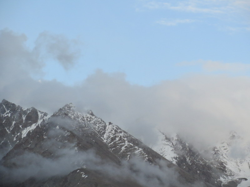
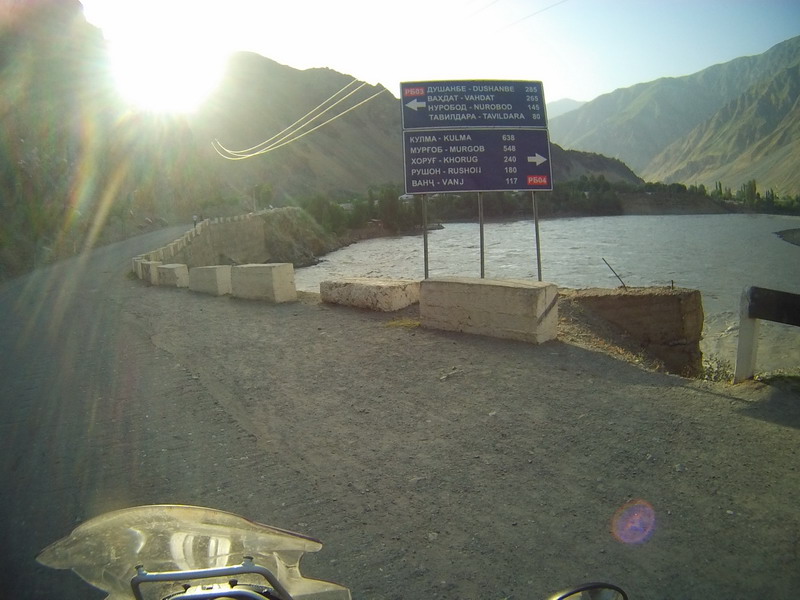
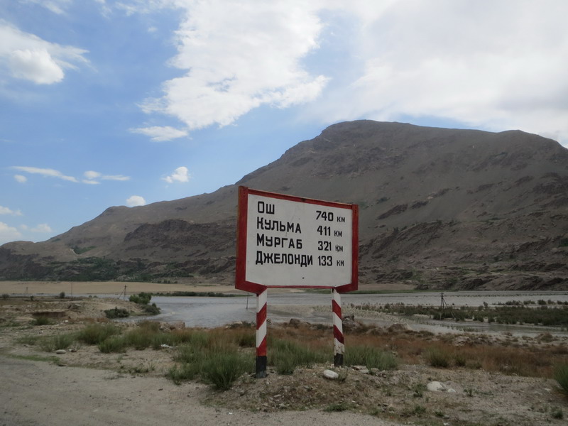
We were both hoping for good weather today. When you are on the roof of the world, it is nicer to have the greatest view possible. From Murghab there leave two roads, the first road goes to Sary Tash in Kyrgyzstan. This is the Pamir Highway which we are following. It will take us over a high mountain pass called Ak Baital at 4655m. But there is also a second road to China, following the Kulma Pass to the Karakorum Highway and Kashgar. If the weather is good it is possible to see the high peaks in China.
Unfortunately the weather was not good, and we could not see the peaks. We left the hostel in Murghab and met a swiss couple also 2-up on a GS. They were going to Osh and then back to Dushanbe. We went for some benzine as well in the local station.
Before leaving the town we made a stop at the yurta to ask about interesting side routes. I was especially interested in a side route just before the Karakul lake but he decided against it as there would be a lot of water now.
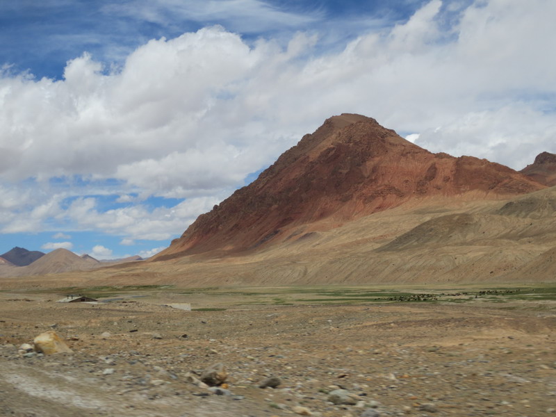
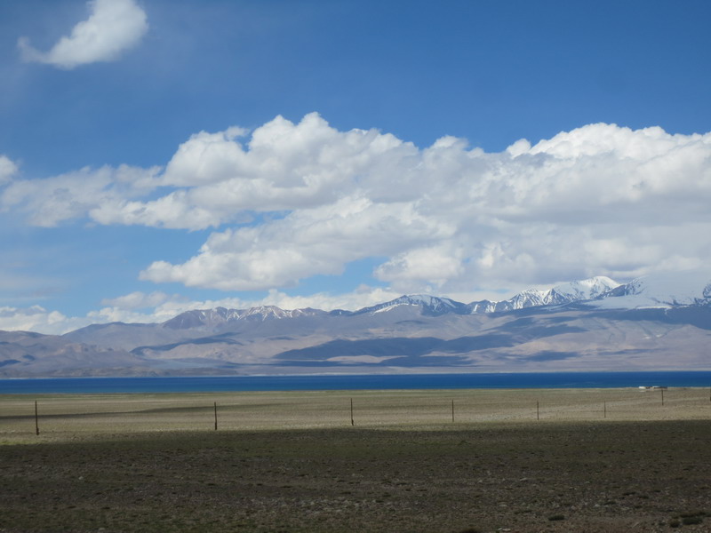
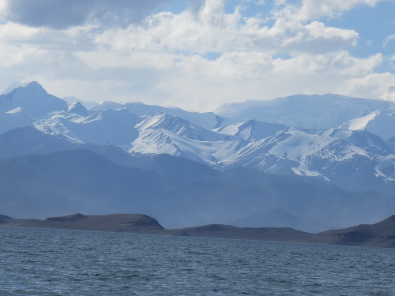
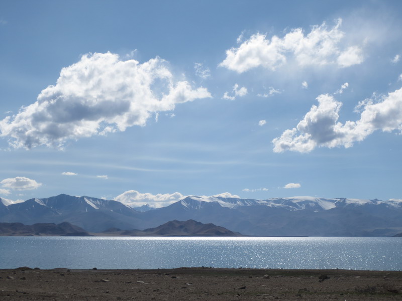
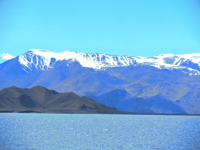
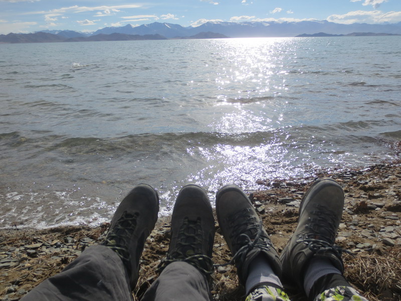
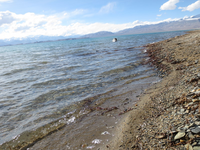
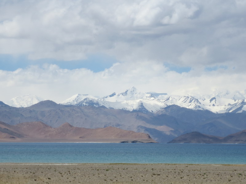
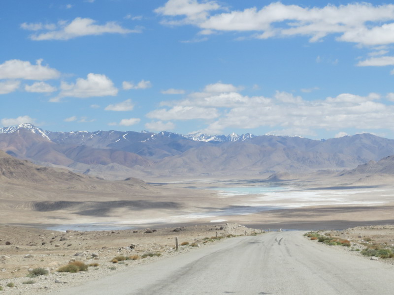
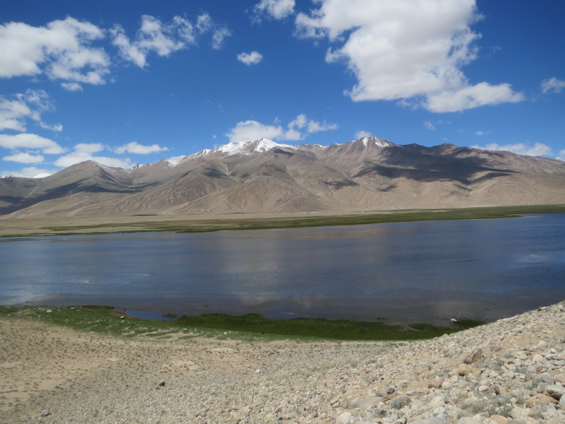
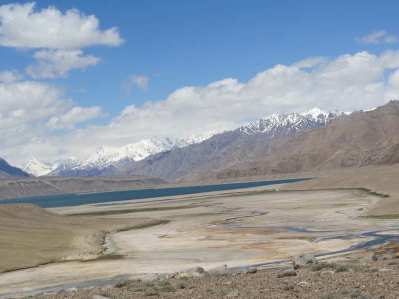
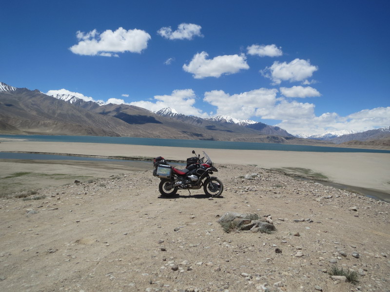
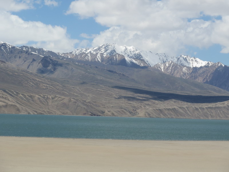
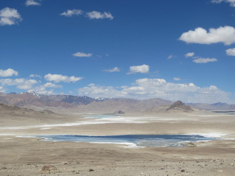
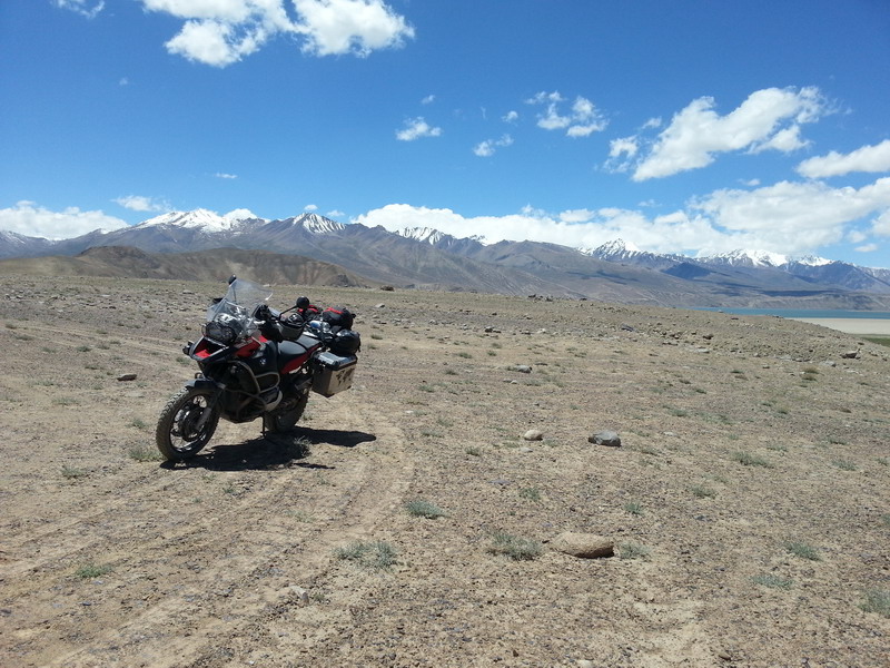
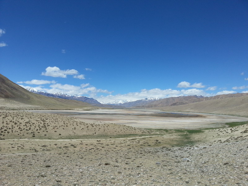
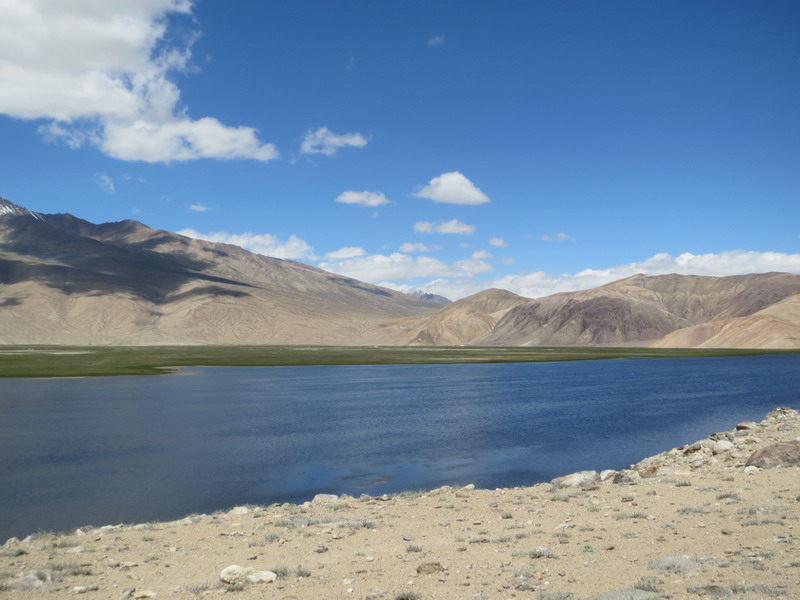
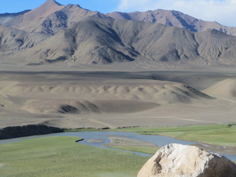
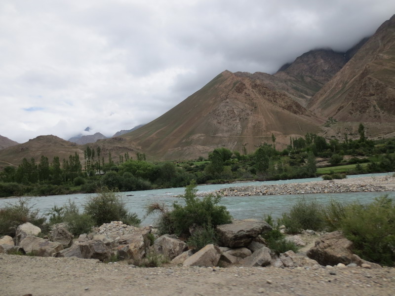
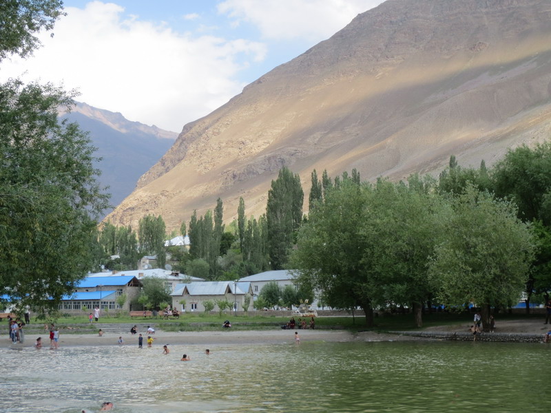
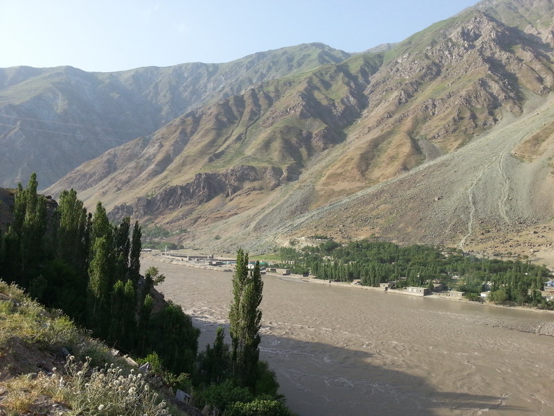
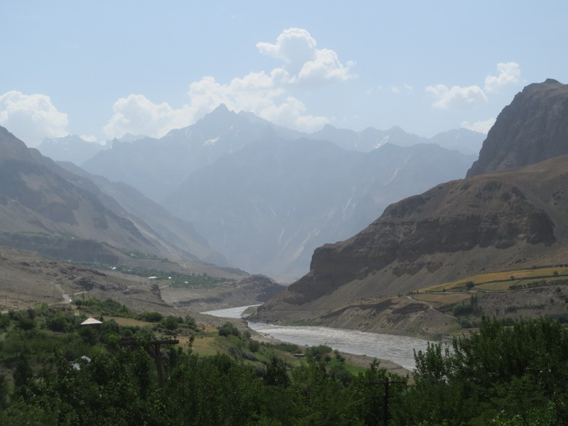
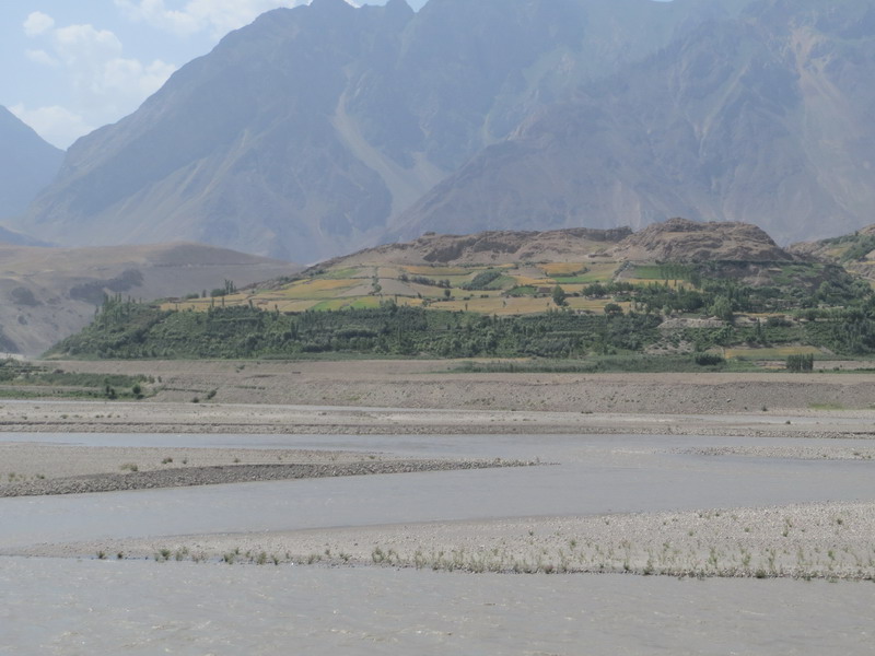
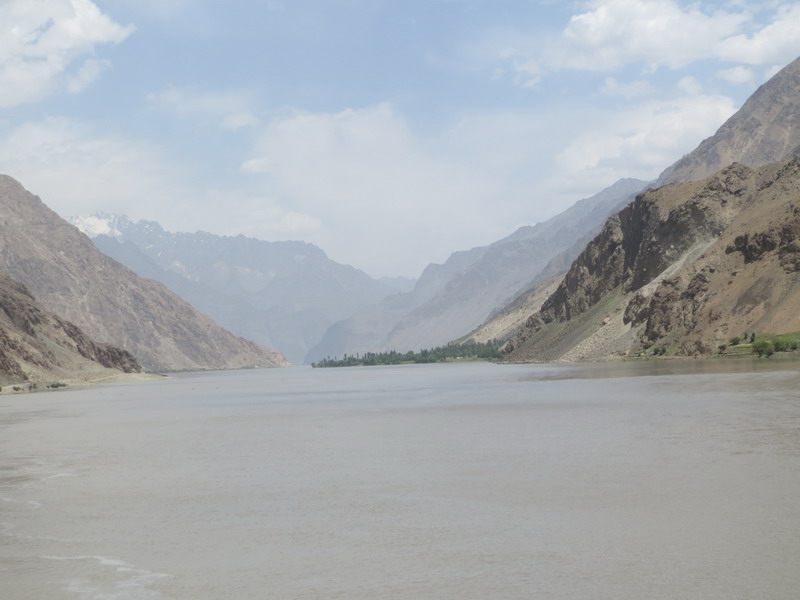
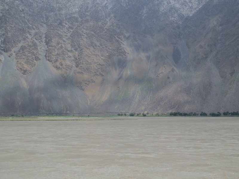
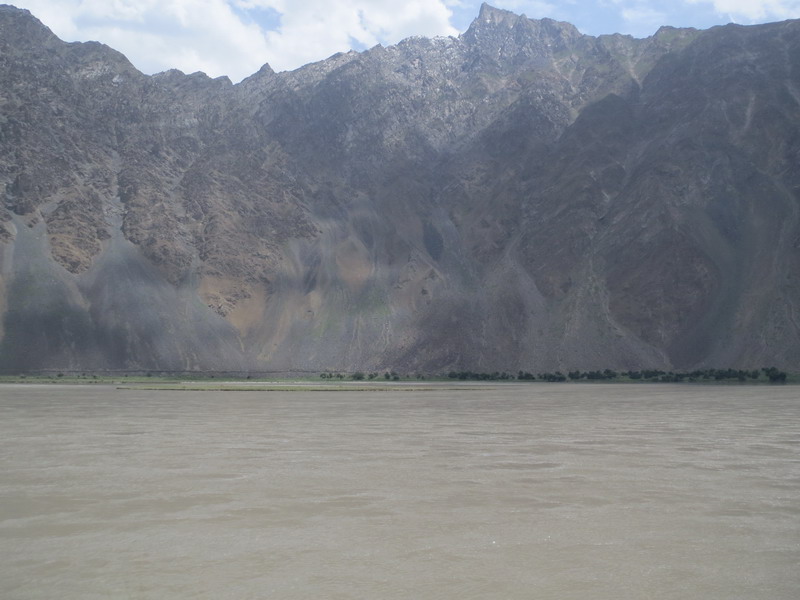
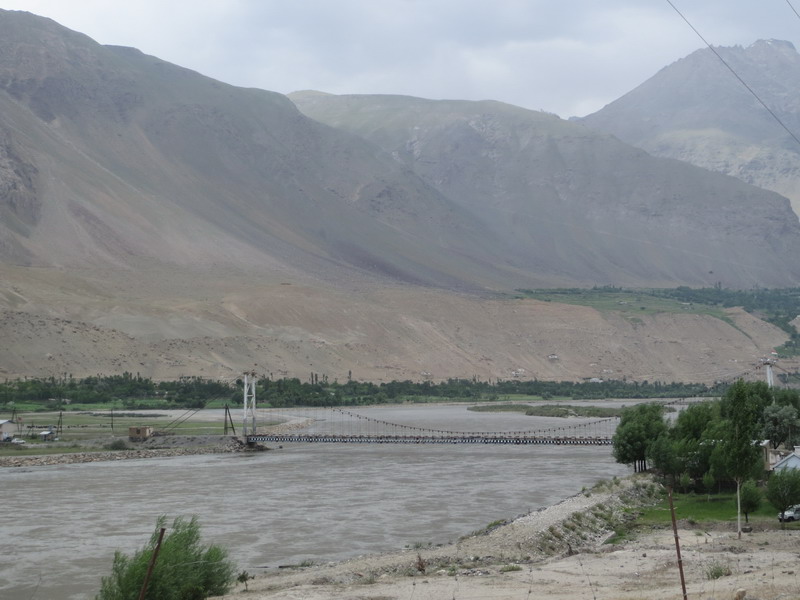
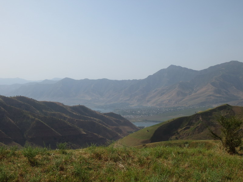
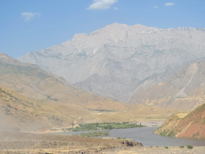
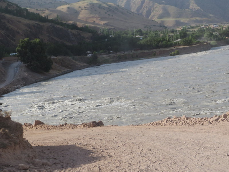
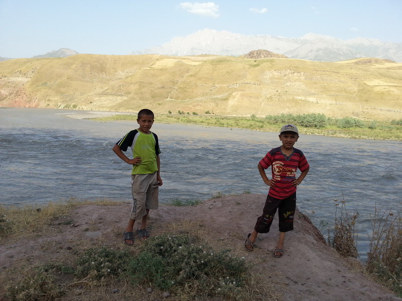
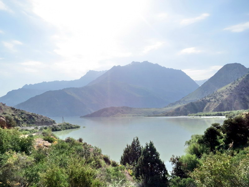
We left the town and saw a dead camel cadaver next to the road. It was not the first we had seen. Our goal of today was lake Karakul or also called the Black Lake. It is a lake that lies at an altitude of 3900m and is close to the border with Kyrgyzstan.
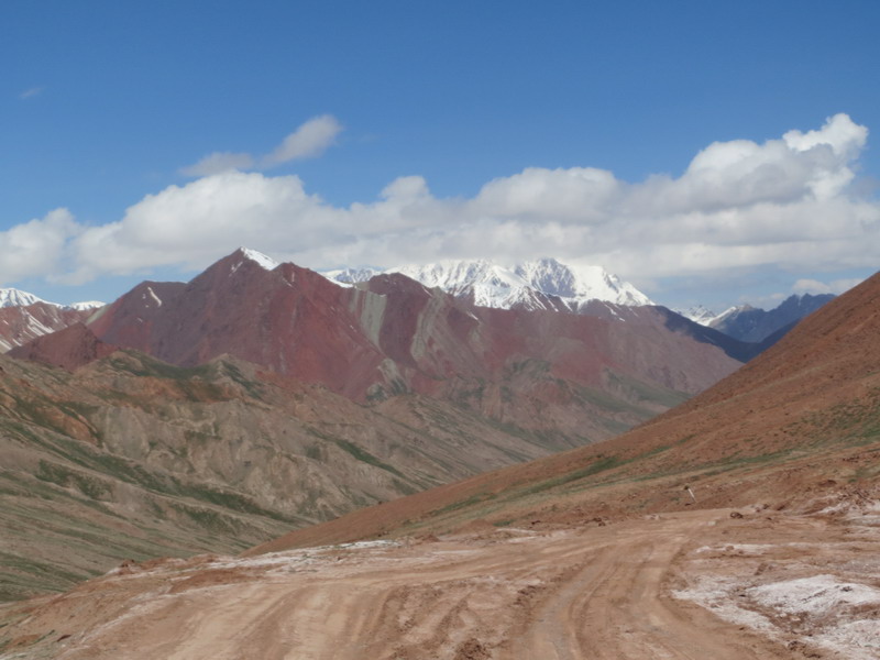
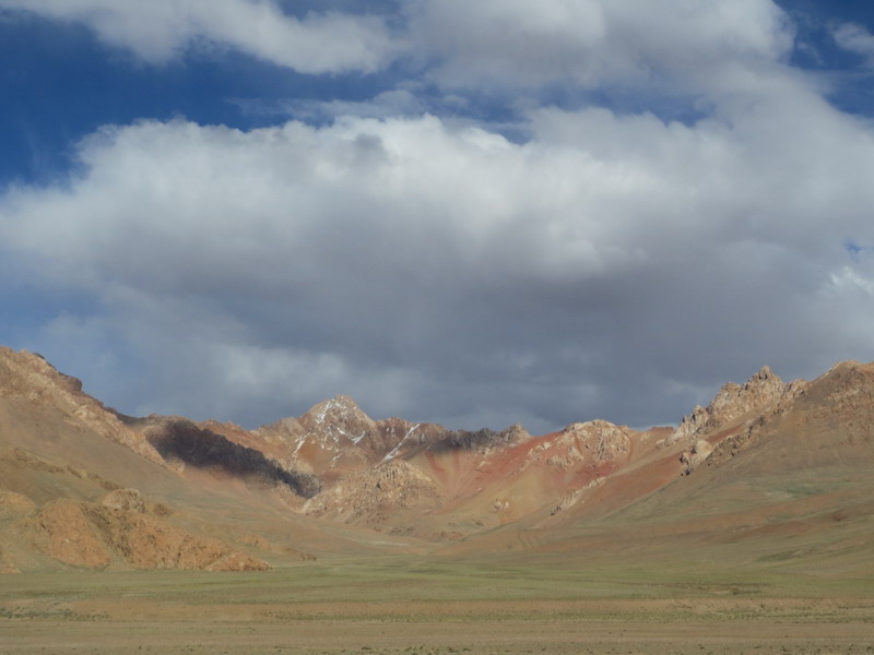
At first it was overcast, but the further we got, the more we saw some blue skies. So it proved wise to leave town and head on. The mountains were really beautiful, and I would like to stay longer here. We were just riding by this beauty now. In my heart I know I want to come back here one day. We were now close to the Chinese border as well. There was a fence but I guess if you want you could get through at some point.
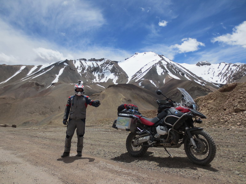

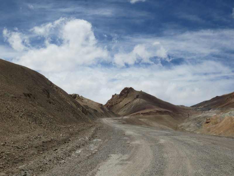
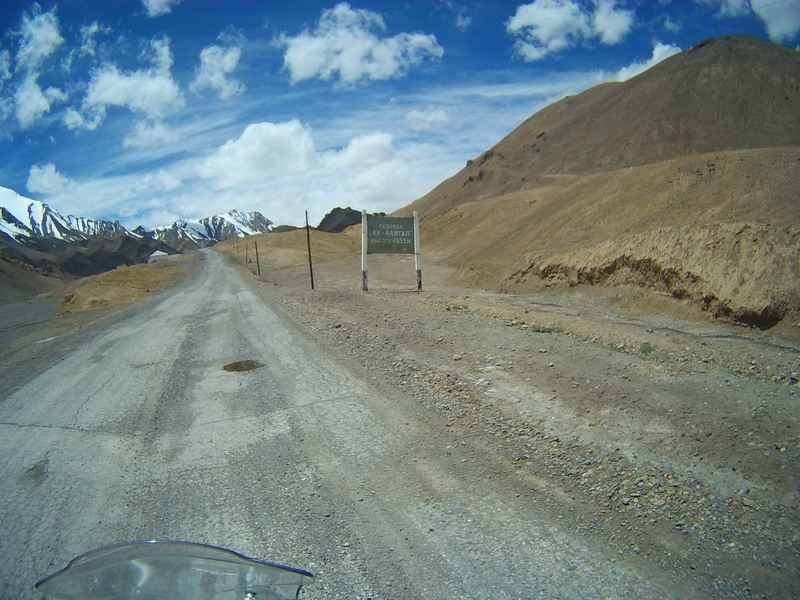
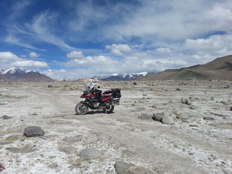
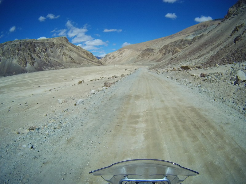
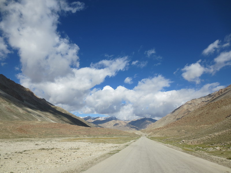
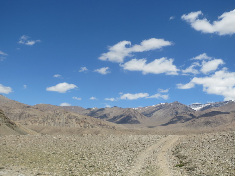
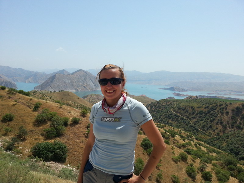
After a couple of hours we reached the point where the climb started to the high Ak Baital started. We had well acclimatised and drunk enough. We both did not have problems with the altitude. The climb goes pretty gently and soon gravel starts. Before we knew it we were on the top!
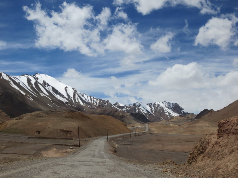
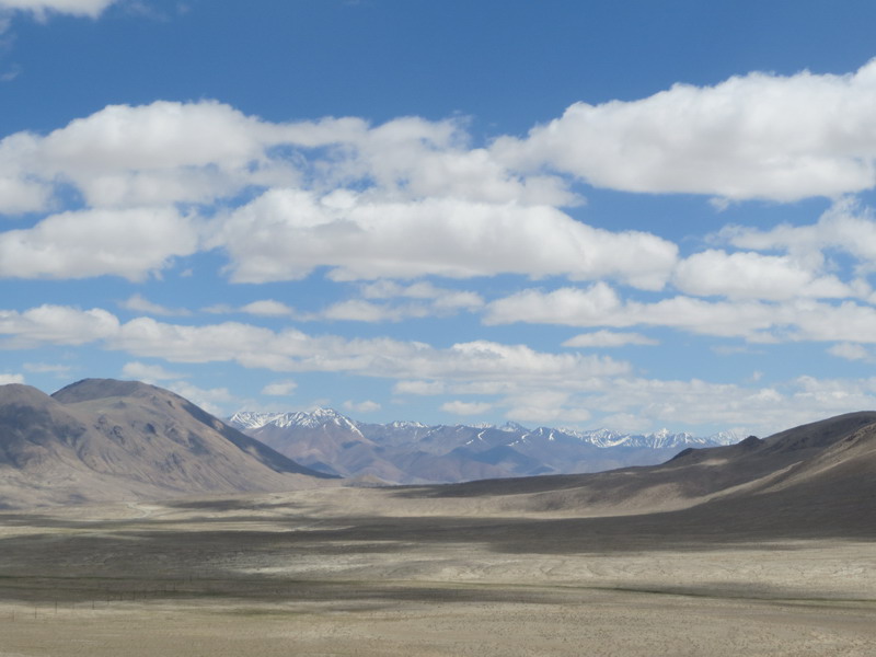
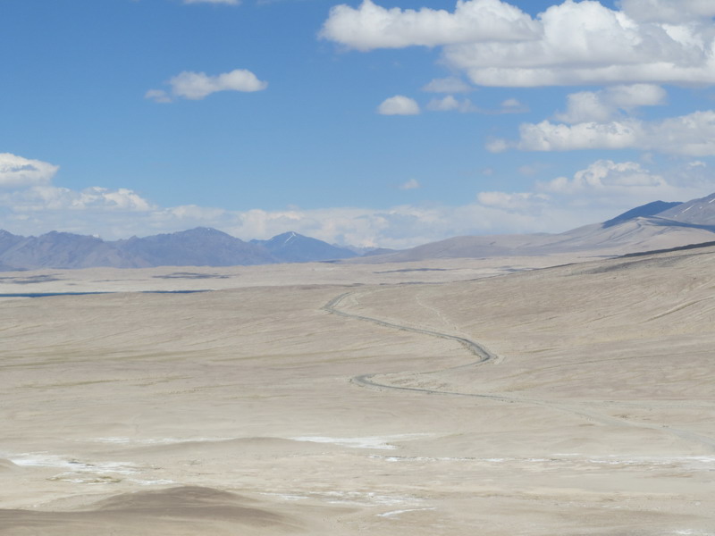
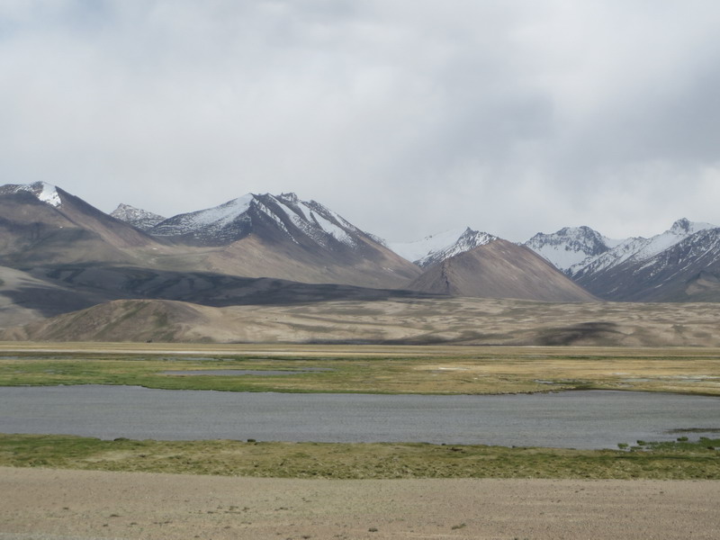
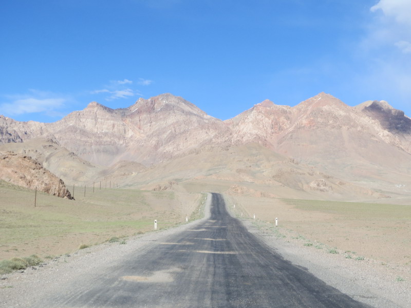
From now it went down to the lake, but it was still a while to go. First it was downhill from the mountain with some bends. After that there was a lot of washboard section until we hit asphalt again. We could see the lake in the distance.
When we looked back we were amazed by the views. We rode very slowly to the last checkpoint before heading into the little town called Karakul.
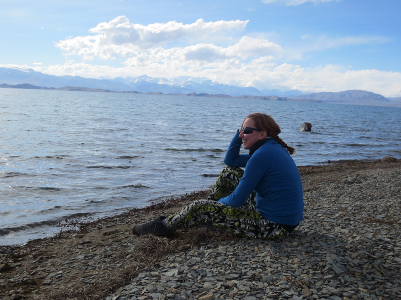
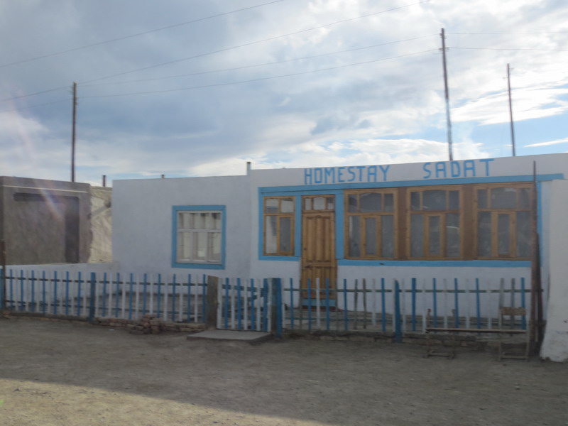
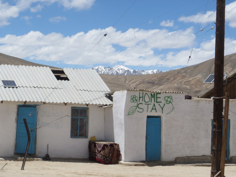
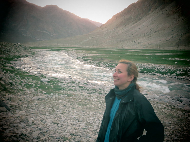
We found a nice homestay and spent the rest of the day walking along the lake. We also met the spanish guys again from yesterday. They said they were heading for Lenin Peak base camp afterwards, like us. But we would not see them again.
It would be our last night in Tadjikistan. Like always when leaving a country it gives me a special feeling. But for this mountainous country the feeling was extra, I really felt bad about leaving already.
Via Yashikul lake to Murghab
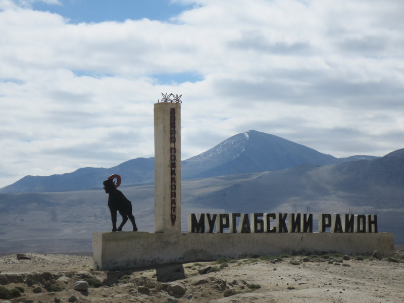
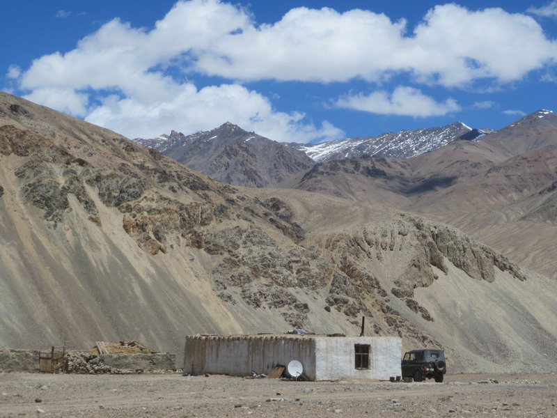
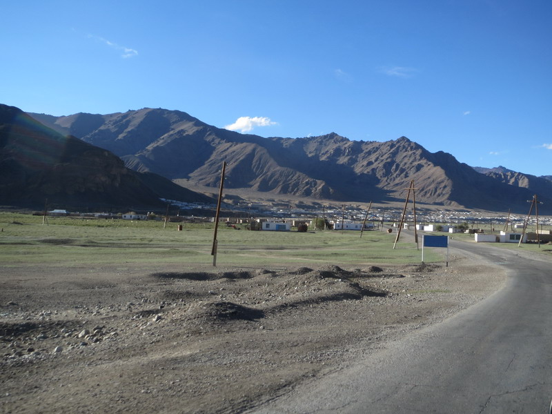
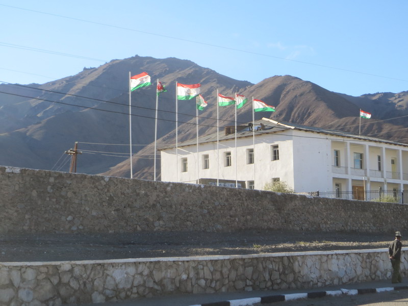
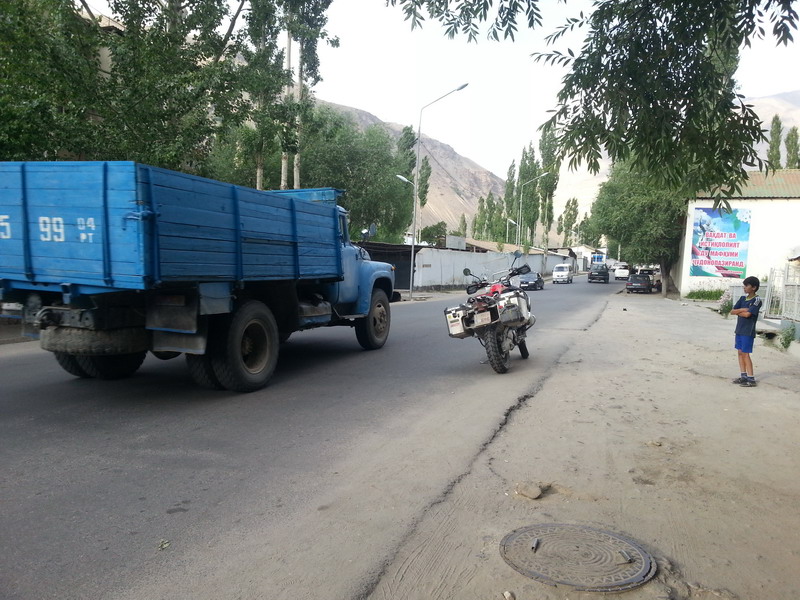
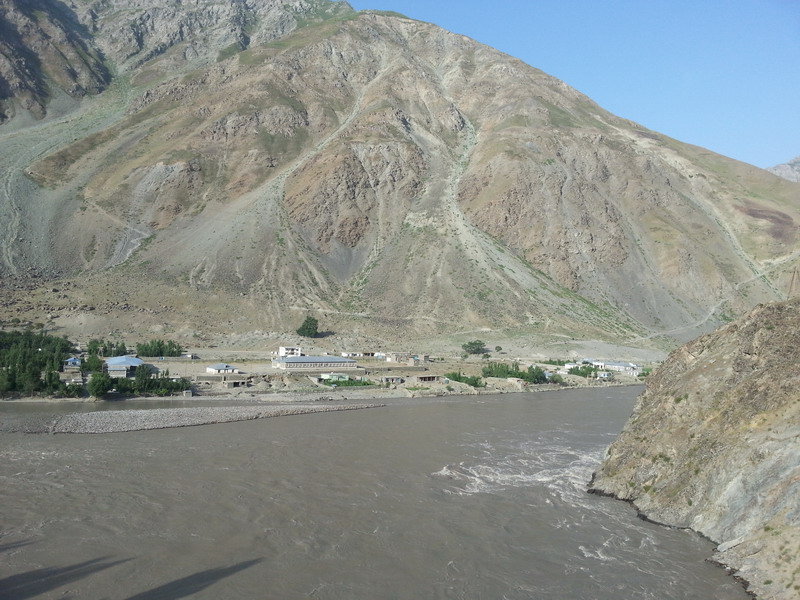
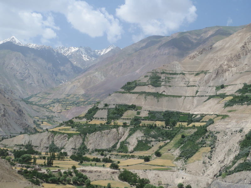
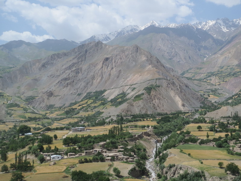
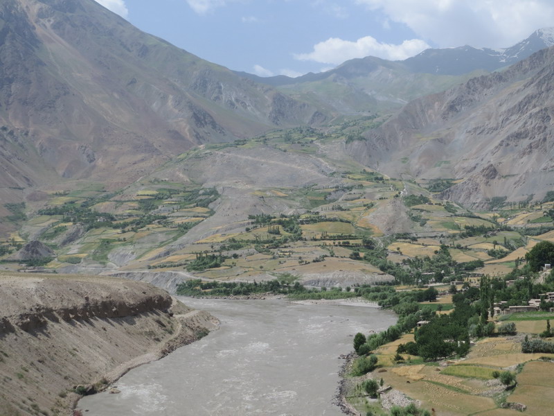
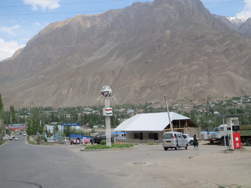
Today will be one of those remarkable and rememorable rides we have done. The goal is the Eastern Tajik city of Murghab, capital of the Murgob district. Murghab has about 4000 inhabitants which are 50% Tajik and 50% Kyrgyz. The more north from there, the more Kyrgyz the people will be. It is the last big city in Tajikistan before going into Kyrgyzstan. It is also the highest city in Tajikistan at an altitude of 3650m.
When I woke up, I immediately looked outside of the window. I saw blue skies, yes, it would be a great ride definitely. We had a good breakfast with eggs, bread and tea with sugar. I am really thankful to the local people, they have almost nothing compared to us rich Western people, but their hospitality is so much bigger than ours. They have a great heart.
It had been a cold night, even though it was mid summer. After learning more I realised this is one of the coldest places in Tajikistan. Our host his sister lives in Bulunkul, known as the coldest town in Tajikistan. It is close to the beautiful Yasilkul lake. He wrote a small message in Pamir language on a note, we would give it to his sister later on the day.
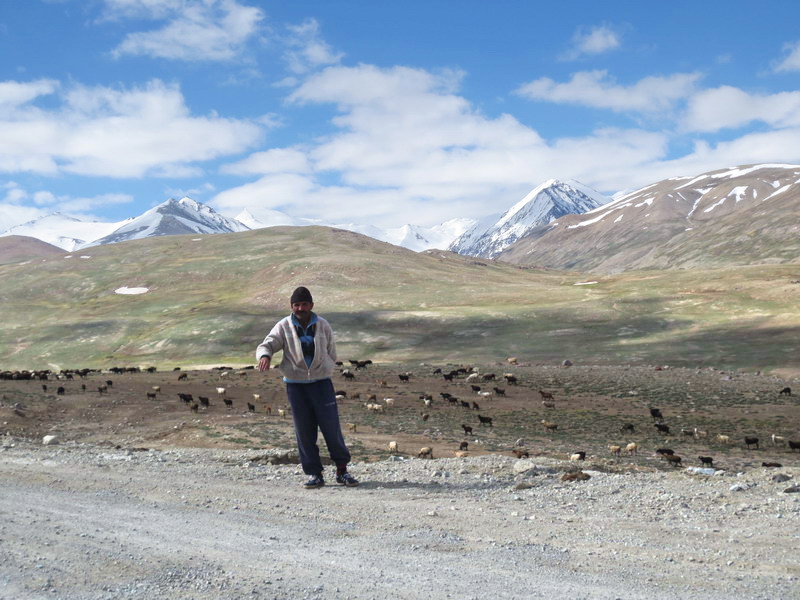
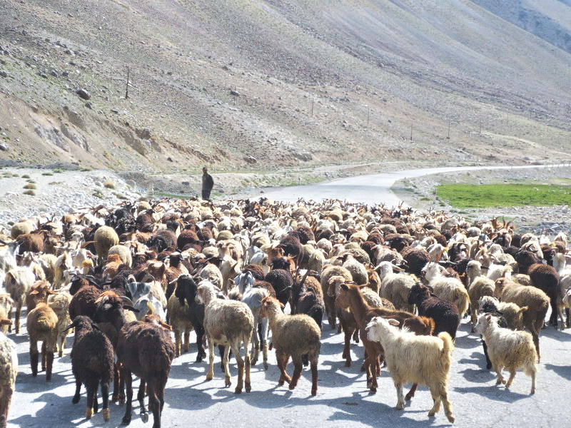
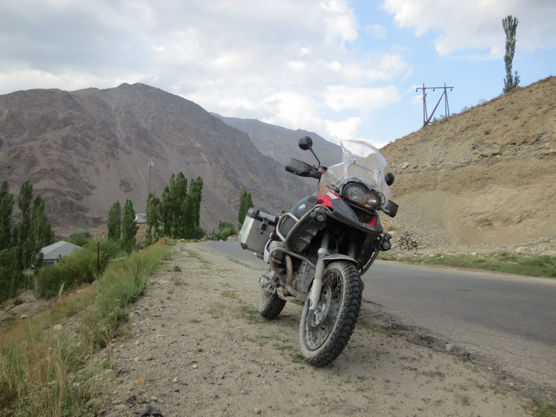
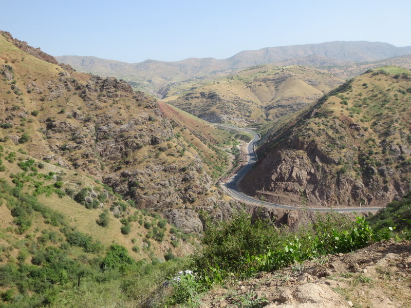
We said goodbye to our host and went off along the M41 highway. The Pamirs are also called the roof of the world. Today we will see why. We had also our first mountain pass over 4000m and it would be not far after Jelandy. Indeed the asphalt disappeared and a dirt road appeared. It would take is in numerous bends over a high mountain. Under the way we saw some shepherds, but almost no car for the entire day, until we got to Murghab.
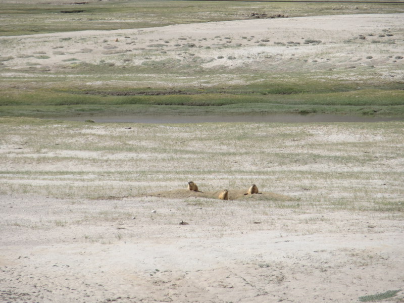
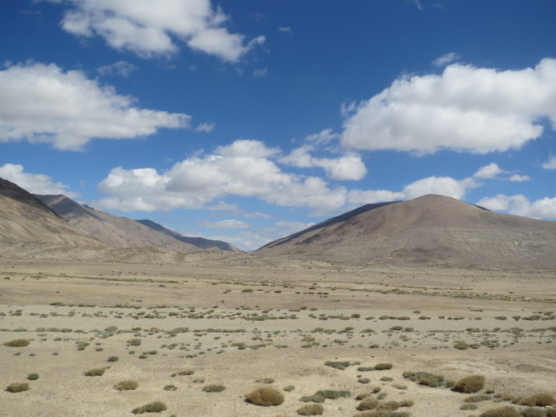
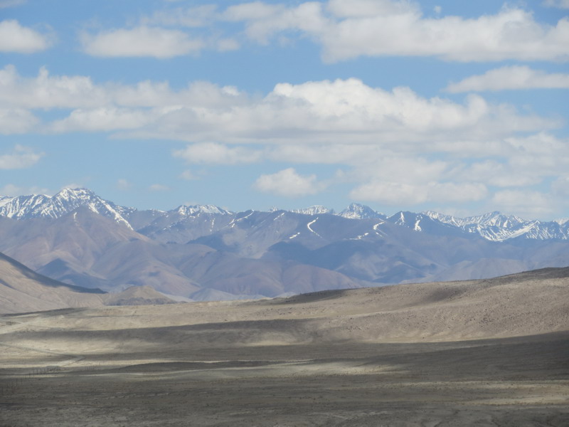
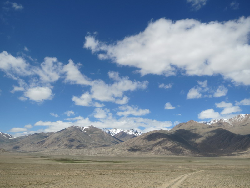
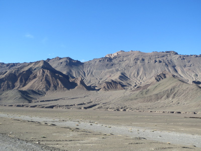
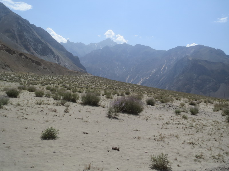
We saw wildlife as well, big birds looking like eagles, and a lot of marmott looking animals. After the mountain pass the landscape turned into an arid, desert like landscape.
It was almost like being on another planet. Here you can be alone. What a difference with the busy Belgium I come from. We enjoyed the ride and the beautiful views.
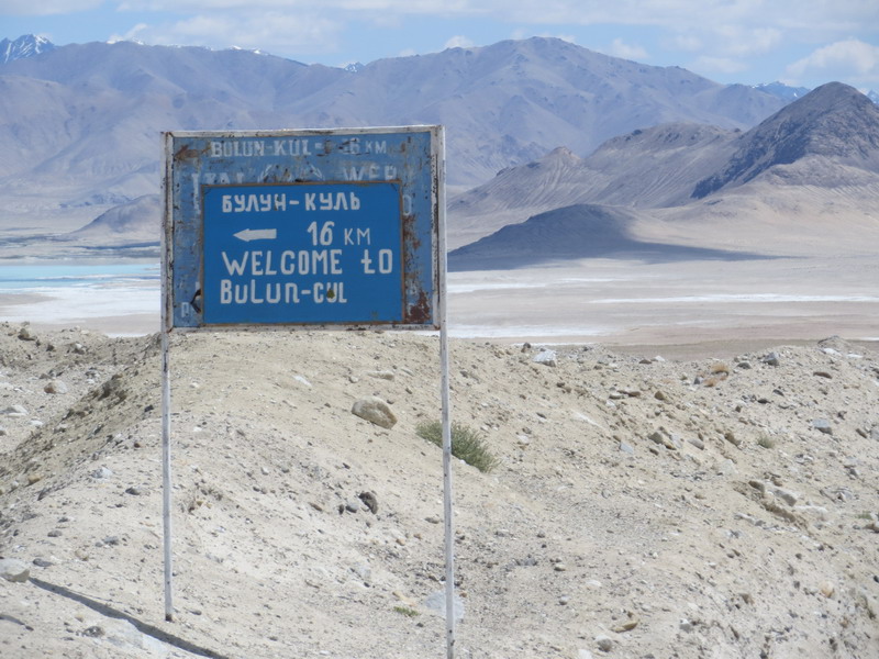
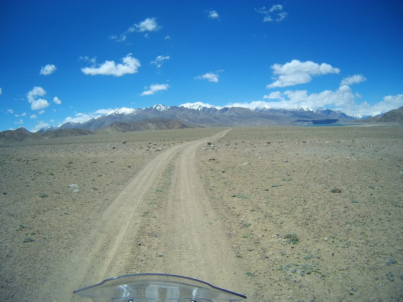
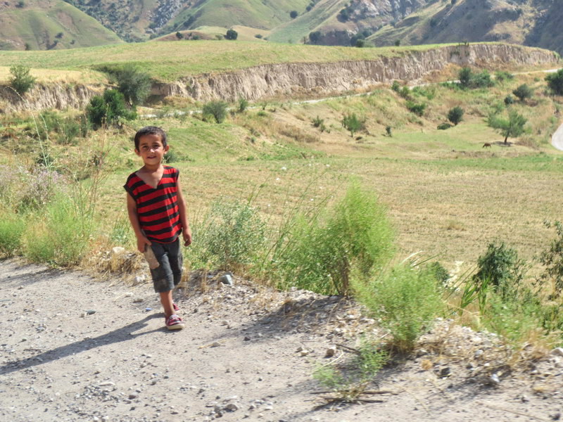
After riding for a few hours, we saw a road on the left side, which pointed to the town of Bulunkul. Here the sister of our last host lives, and it is also close to the Yasilkul lake. We went of the Pamir Highway and followed another dirt road to the Town. After 20km or so we reached the town but we did not go into town immediately and decided to go to the lake first but from the East side.
It turned out to be a more difficult task then expected. As we were riding on almost not existing tracks. We reached a little farm at some point but the dogs here were fierce. So we continued, but the track got even smaller. We saw the lake in the distane but the track got so steep at a point that you could only walk it. We had to back, past the dogs again 🙂
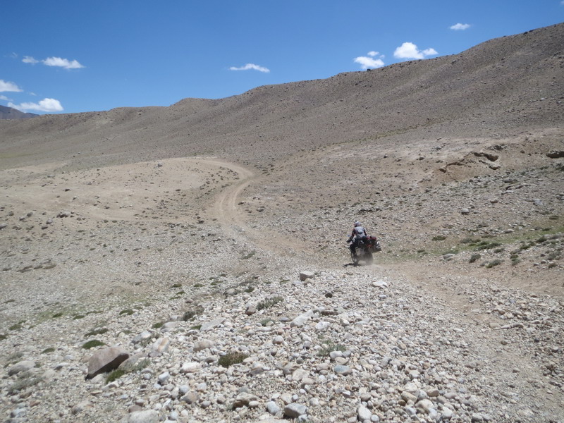
We continued along the north side, but it was a difficult road, and got to a high plateau with nice views. From here we could see the lake well, but it was still some miles away. We took our binoculars and saw in the distance a jeep trying to cross a river. It did not look too good, so we decided to go back, and enter the town this time.
We found our way back easily and rode into the town of Bulunkul. There we asked around for the sister. It is only a small town so we found here quickly. She offered to stay, I think this was probably on the note from her brother.
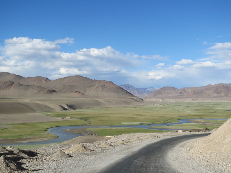
But it was still early in the day, and we thanked her kindly. We decided to ride on to Murghab, as this was the original plan. So we drove back on the dirt track to the main road. Once on the main road we noticed the salk lakes next to the M41.
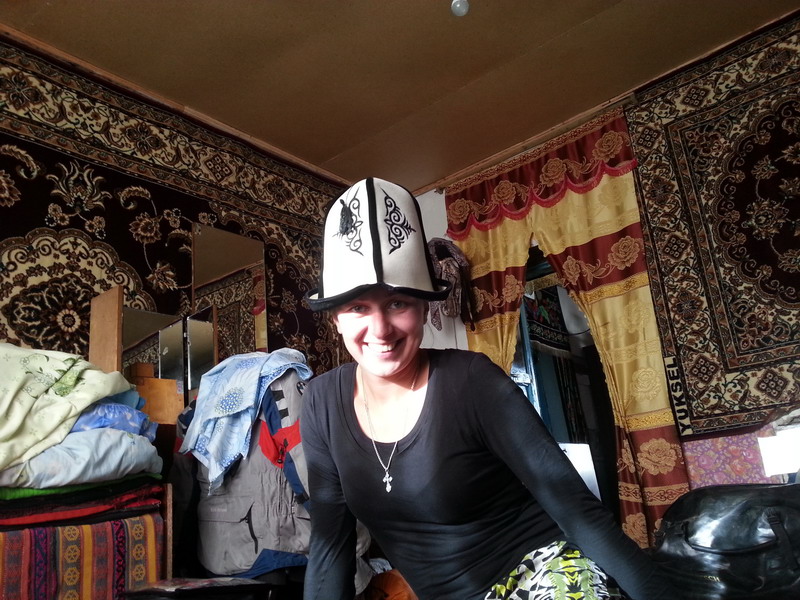
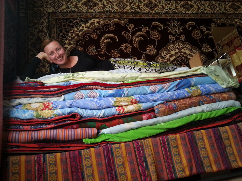
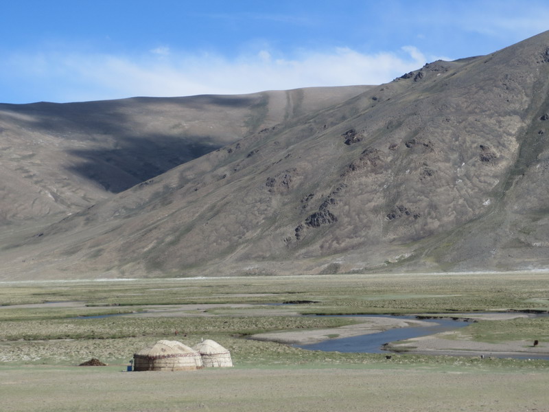
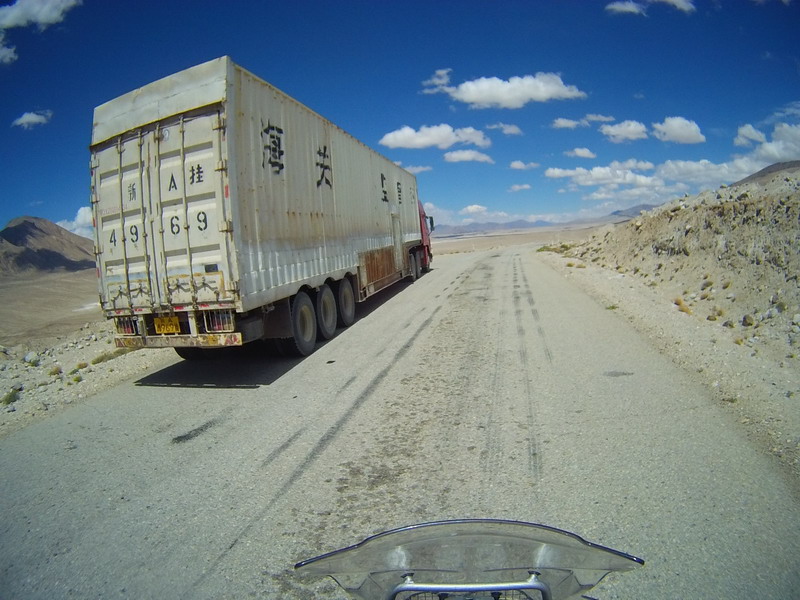
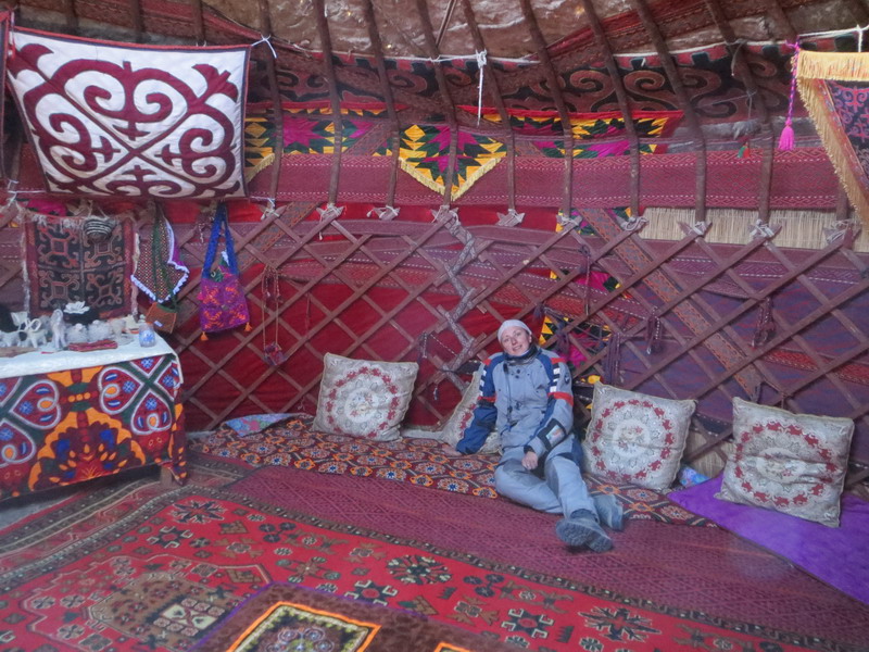
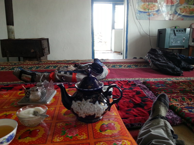
We continued our way and almost saw no one today on the road. There were maybe one or two trucks we saw though going to China. We also was some more yurtas. At one of them we stopped and had a look inside.
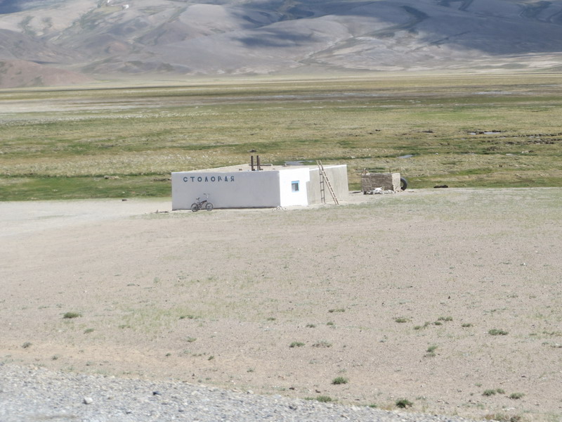
Further down the road there was a stolovoya. This is a cafe where you can eat. It was the only cafe was saw today, and very small. But appearantly it was popular amongst the Chinese truck drivers for the fish they served here. We only had tea and bread though.
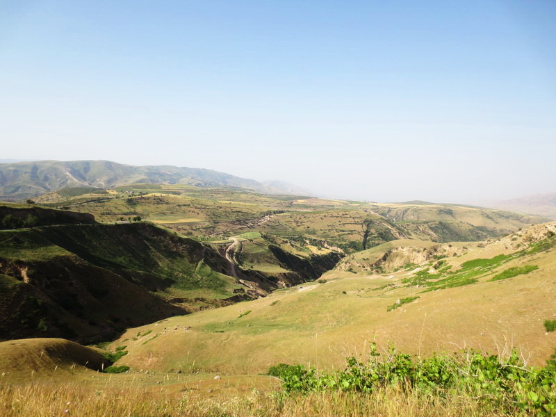
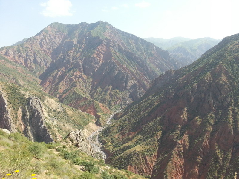
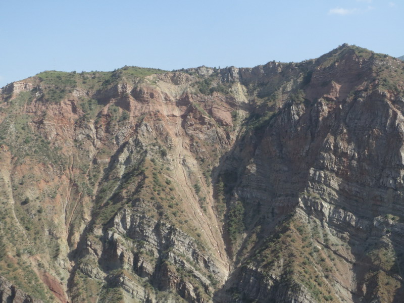
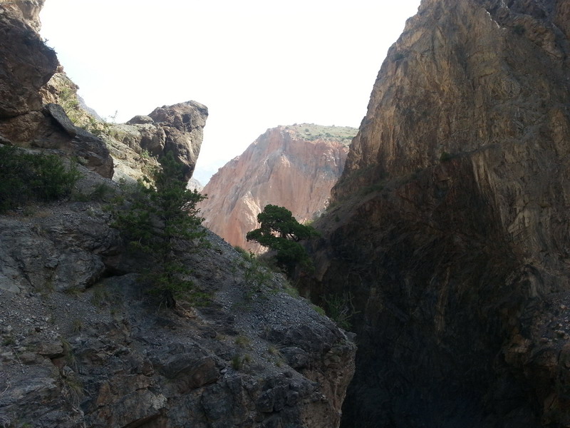
Near the evening we rode through more fantastic landscapes, and through canyonlands.
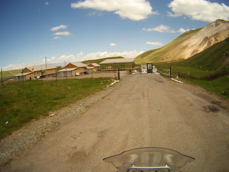
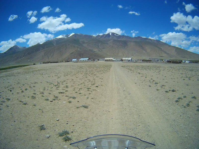
Just before the city of Murghab the landscape changed again and turned greenish. We were almost at our destination now. There was another security checkpoint before we could enter the city. But all was ok and the dogs were good here.
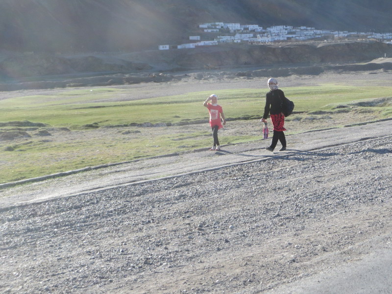
Once we got in the side we started looking for a good homestay. We found a place called Ibrahim, but actually we did not like it too much. It was quite expensive, the food was not so good and the people not friendly. We found out it was not a real homestay but a rather touristic hostel. We met 2 men from Spain who told us they had seen us at the border before.
In the evening we had diner with the spanish men, their guide and driver. We had a few beers. We went to bed early. There was big ride to do and we would almost be at the border with Kyrgyzstan. But we needed good weather for that. Between here and the next country there are two mountain passes over 4000m to do. The highest of them is the Ak Baikal pass with an altitude of 4655m. Let us hope the weather is good tomorrow.
The Pamir Highway to the hotsprings of Jelandy
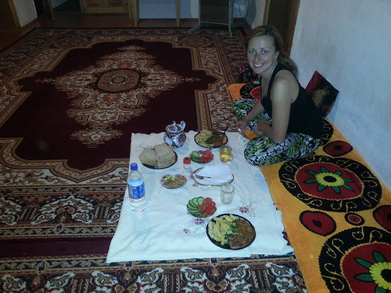
We got up in the morning knowing that we would leave today. Rain or no rain. We had our last breakfast at Lalmo’s and said goodbye to our new friends. Once outside and all packed, Lalmo also came out to say goodbye.
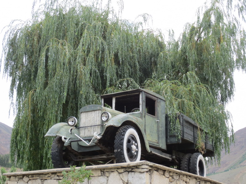
We left the capital of the GBAO district in the rain. The first thing we noted when we got out of town on the M41 was a statue of the first car who rode on the Pamir Highway when it was built by the Soviets.


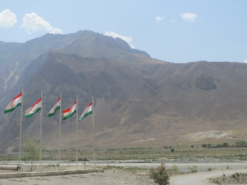
We leaving the town we had our passports checked by the police for security. They also check the GBAO permit.

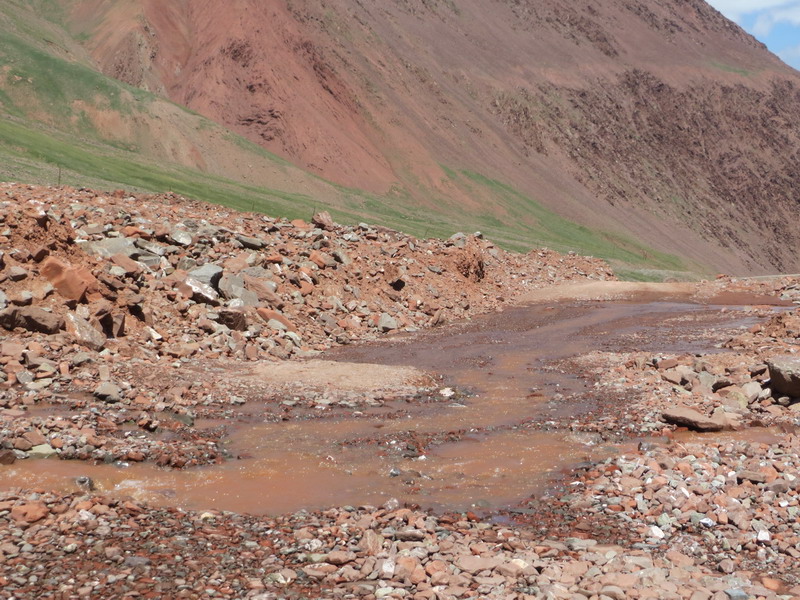
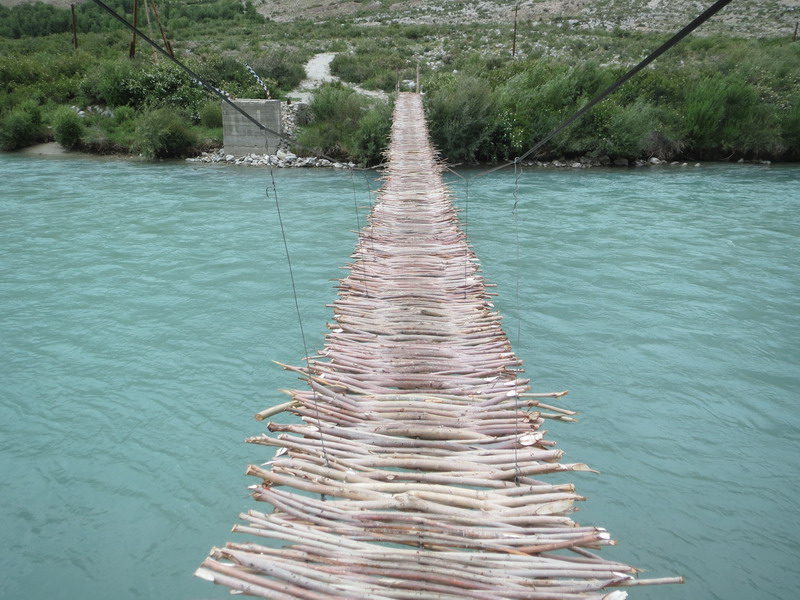
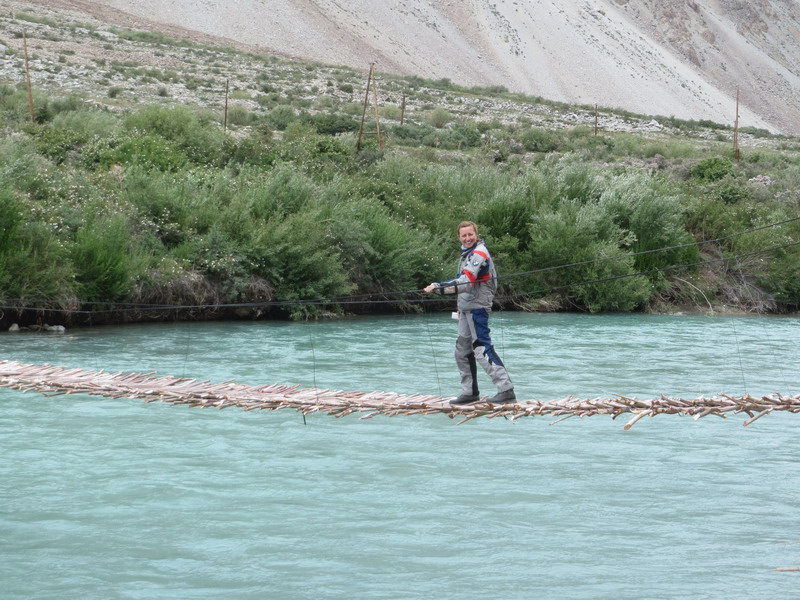
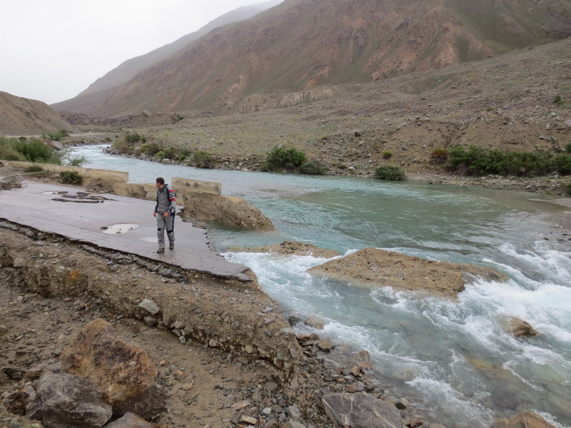
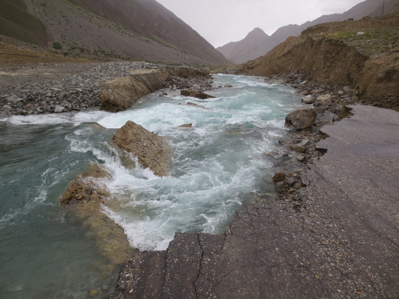
The ride itself was beautiful, but due to the bad weather visibility was restricted at some places. We rode through some small villages and made a stop at a small bridge over a flast flowing mountain river.

One of the reasons we had to stay a bit longer in Khorog, was because the road further on got washed away. We saw what happened, but there was a way around now. The water was flowing fiercly.
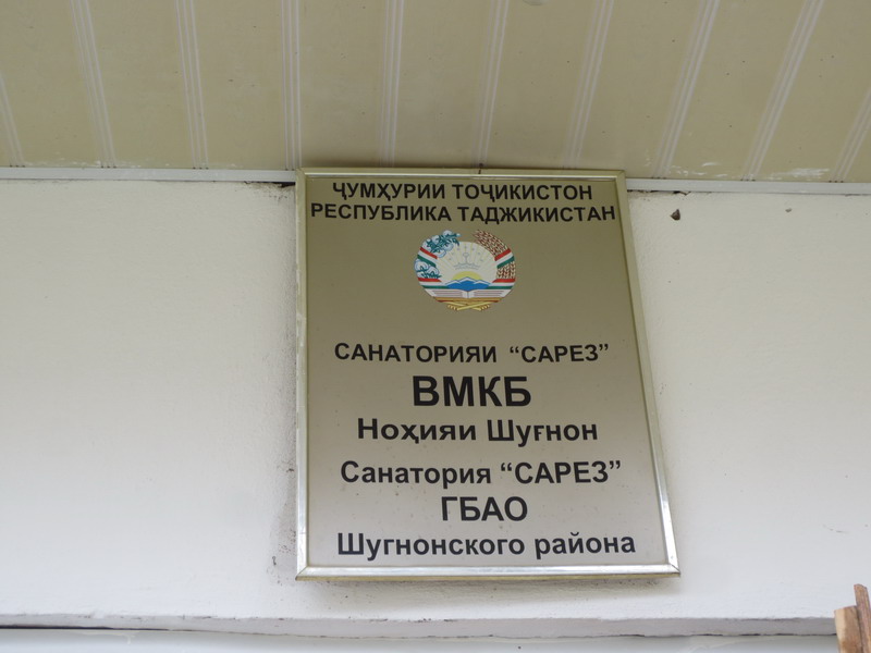
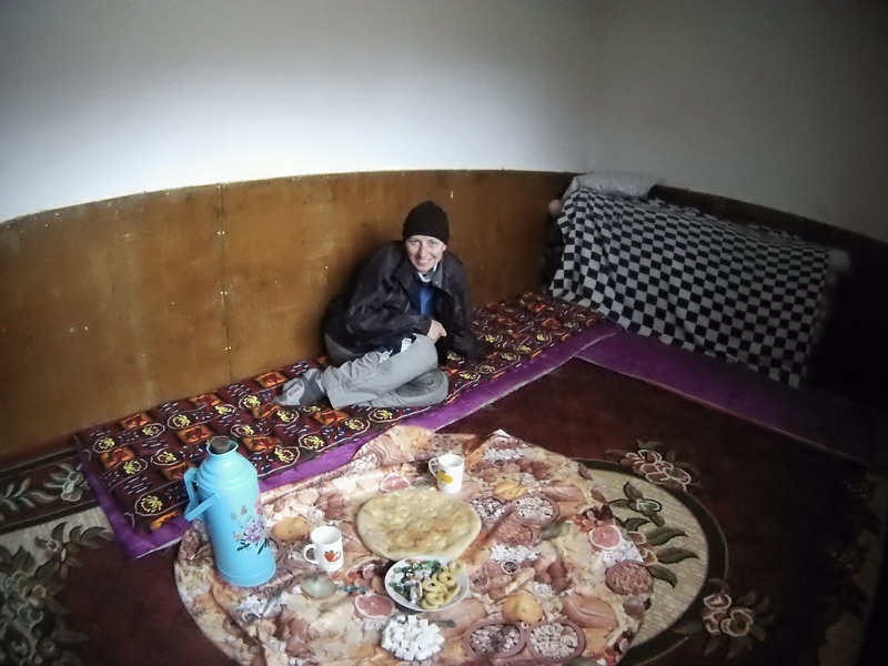
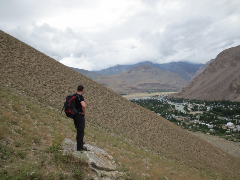
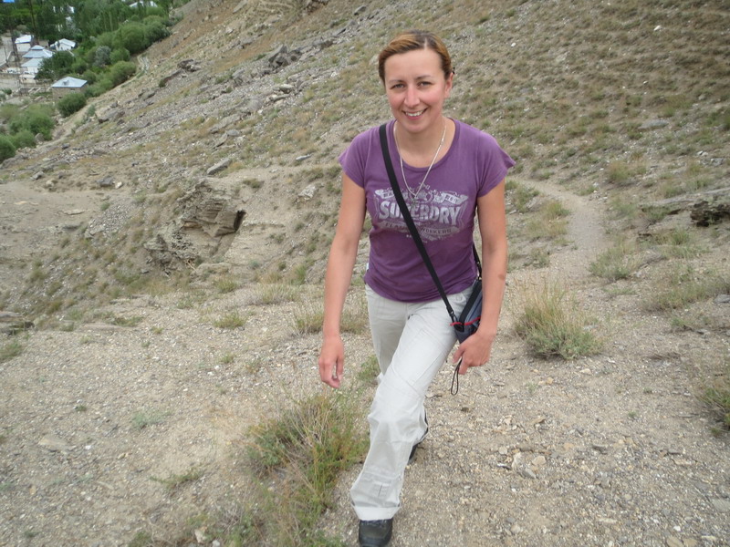
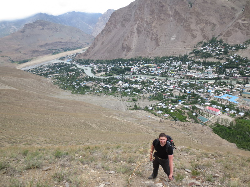
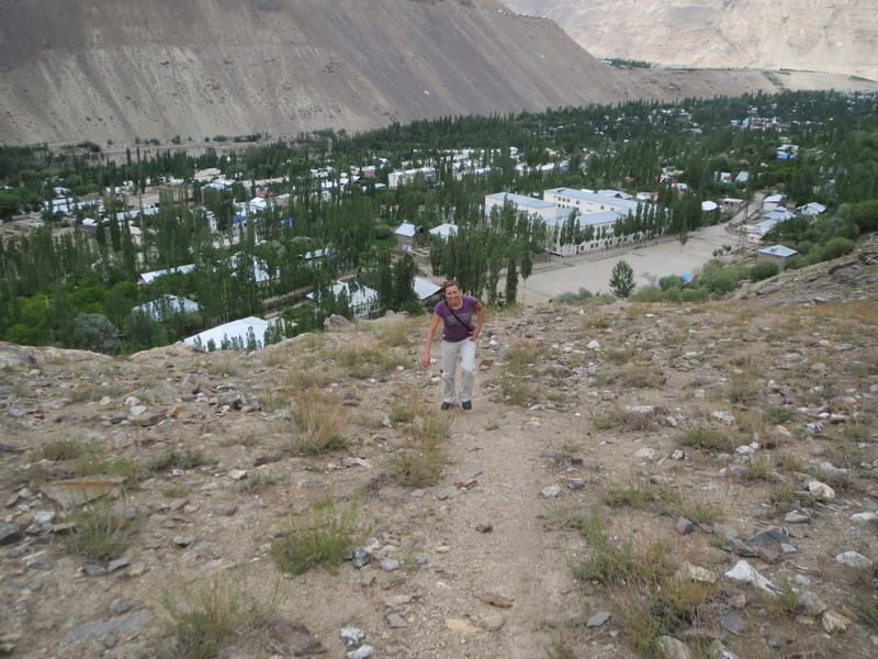
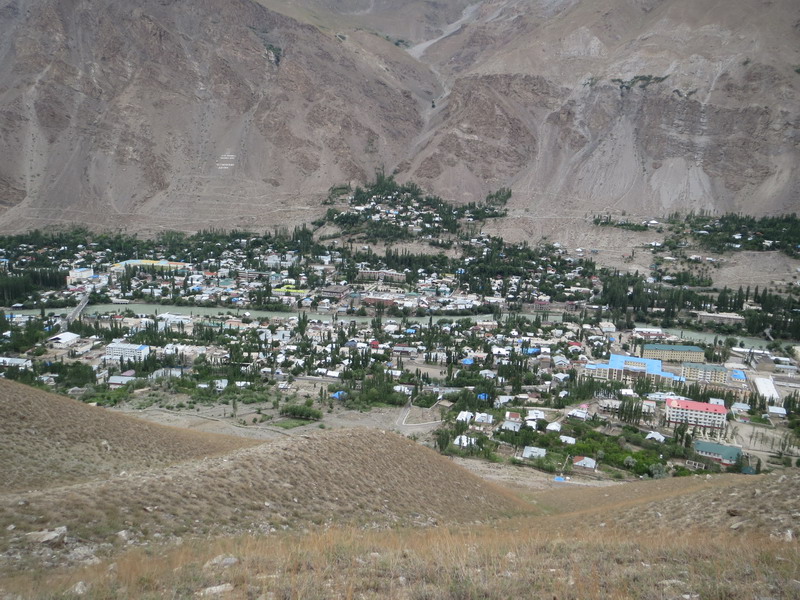
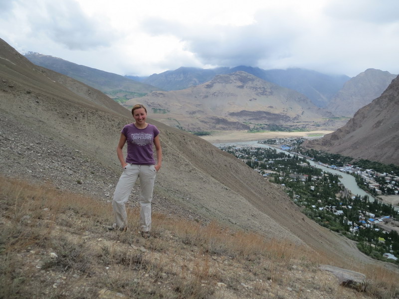
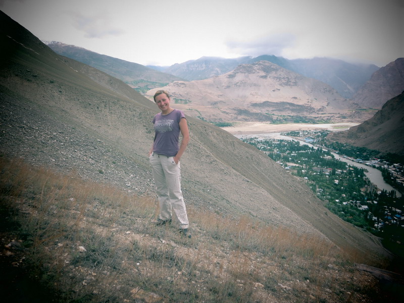
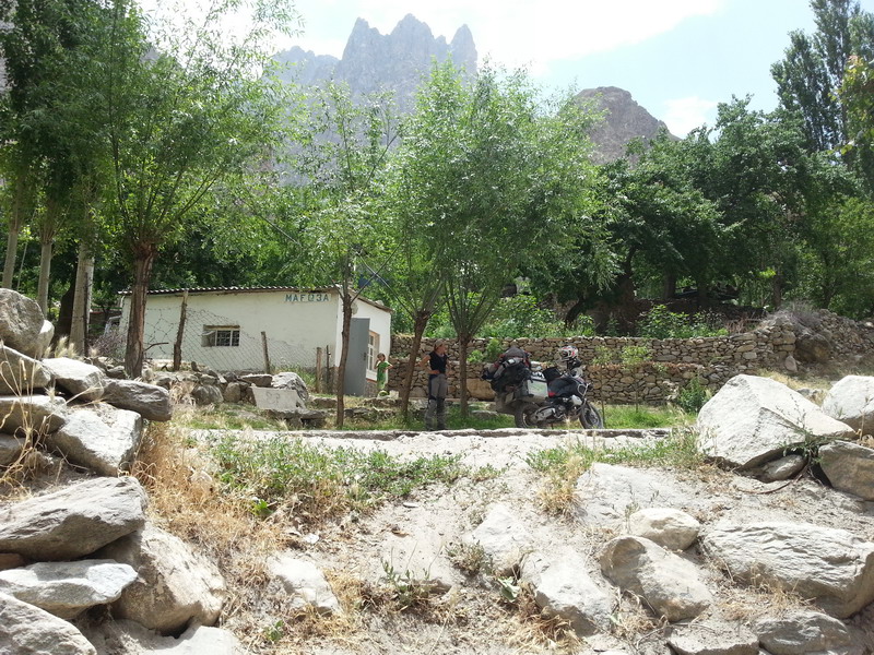
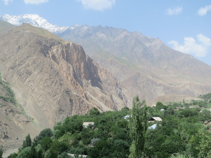
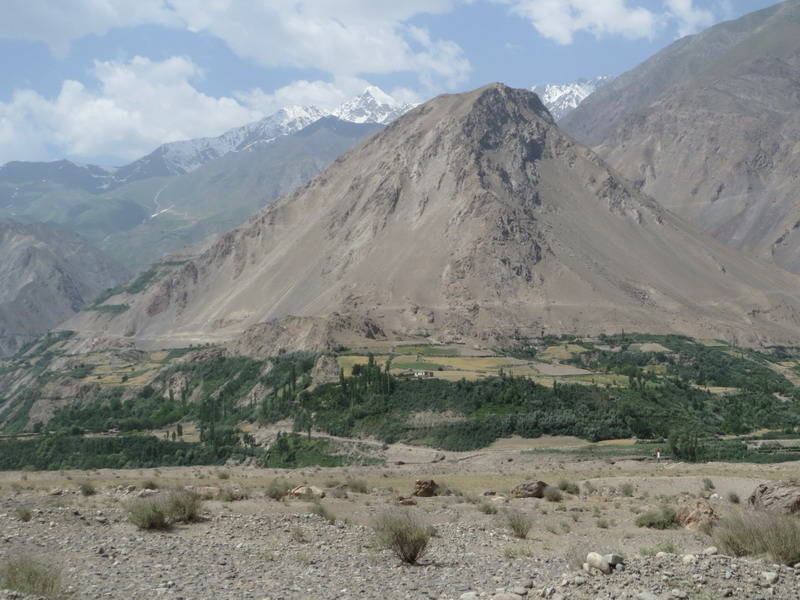
Our goal of today was to check out the hot springs in Jelandy. So after a small ride of 130 km we arrived at the town of Jelandy. We found the sanatorium. This is a soviet style health center. It has rooms where you can sleep, and like turkish baths. The hot water came from the ground out of the hot springs near by. When you got close to them, you could smell the sulphuric smell, if you don’t it, it smell like rotten eggs. We checked out the sanatorium from the inside but we found it both a little bit unclean and decided to check out the town of Jelandy. This town is situated at an altitude of 3245m in the mountains.

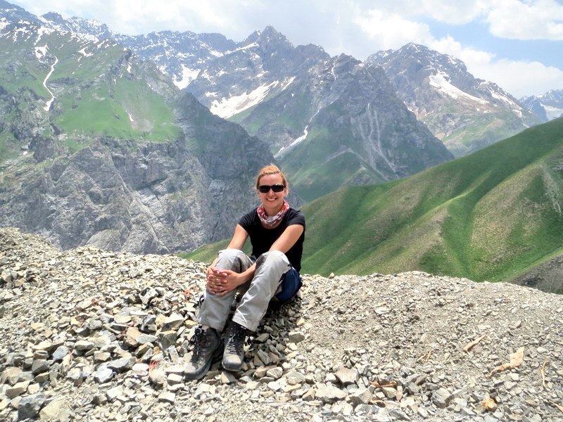
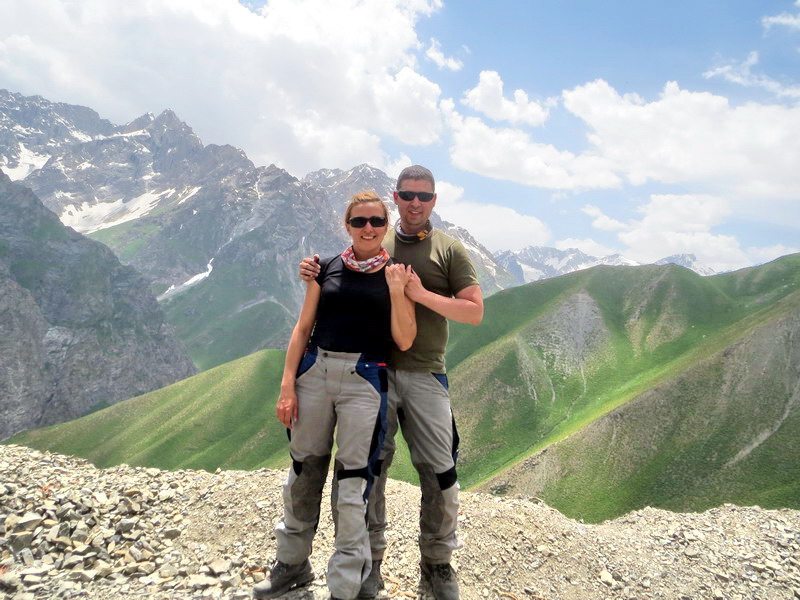
We found a homestay at a friendly Tajik guy and his family. It was still early in the afternoon, so we had a lot of time left to go hiking. What more beautiful are could you wish for then the one we were at? We packed our small backpack with some food, water, waterproofs and warm clothes. We left our homestay and had a lovely afternoon on the mountain. Mountain walking is quite steep here. Remember you are at a high altitude. If you want to hike or climb here you must be in good shape. We immediately felt that. No problem, we just to a breather every 100m or so. The views were beautiful and we watched the sun go down from the mountain.

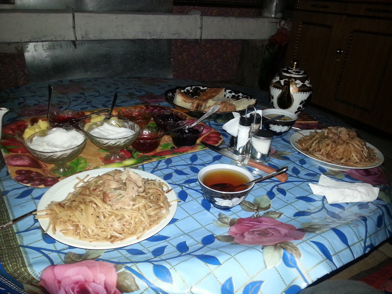
When we got back to our homestay in the evening, they started to cook a meal for us. We did not even ask for it. But it was great. From the limited resources they have, they made the most delicious macaroni. I can still taste it. It was the best macaroni I had eaten on the trip, maybe in my life. Our host was lying with us in our room to talk a bit, and we had tea together. When it became dark everybody went to sleep. Tomorrow we will continue one of the highlites of our trip on the Pamir Highway. Hopefully the weather will be good as we need to do some mountain passes over 4000m.

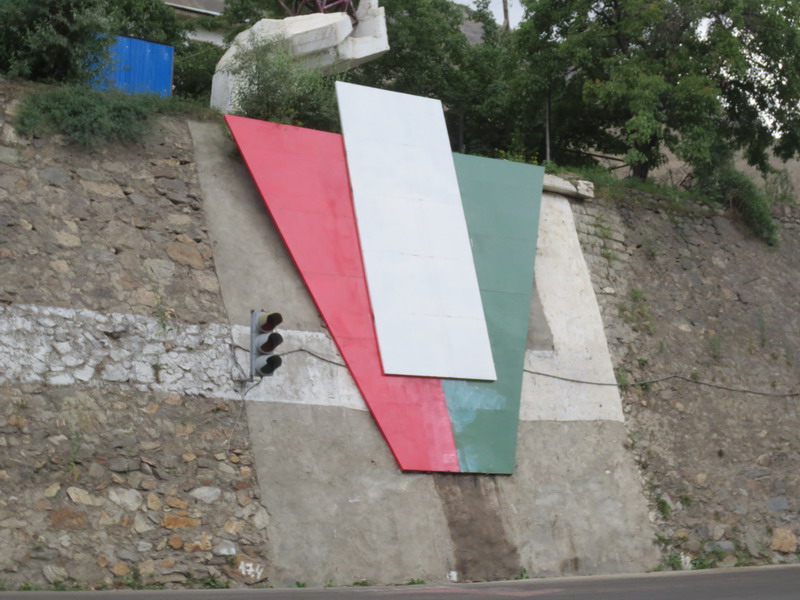
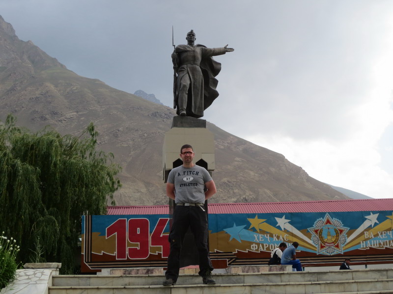
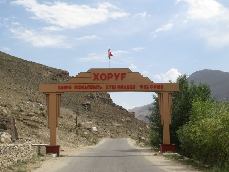
Khorog
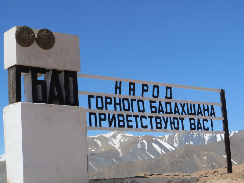
Khorog is the capital of the GBAO or Gorno Badakhstan Autonomous Oblast. It lies at about 2100m and has about 30.000 inhabitants roughly. In 2003 the Aga Khan invested a lot and setup a university here. Unfortunately Khorog was last years also in a bad picture because of political unrests. Now the situation seemed ok, but there were many checkpoints to maintain control.
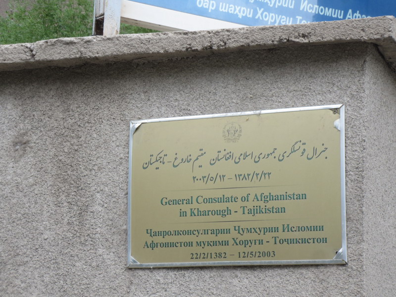
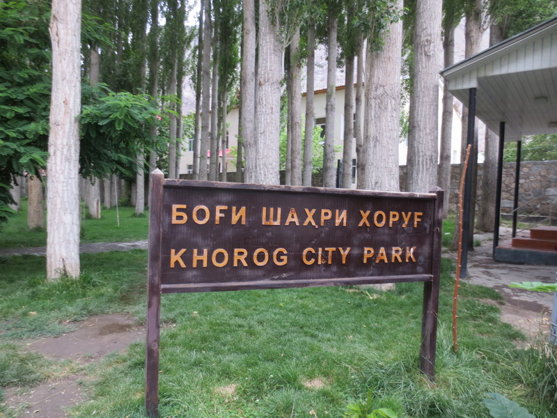
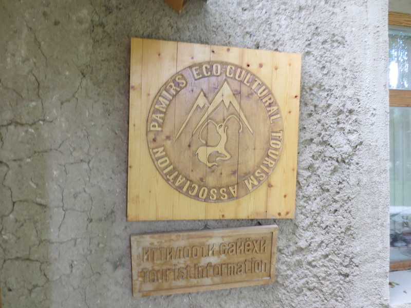
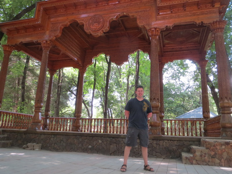
In the city we had a look around, and visited the tourist info, which was good. You can do so many things in this country. Not only riding a motorbike, but especially hiking and climbing. We walked through the park and there many people. We didn’t know first, but it was a national holiday today! We also passed the Afghan consulate. But as I had a single entry for Tajikistan, it was no use to go. Larisa did not want to go also as it was not a stable country at the time.
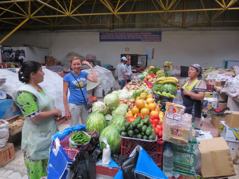
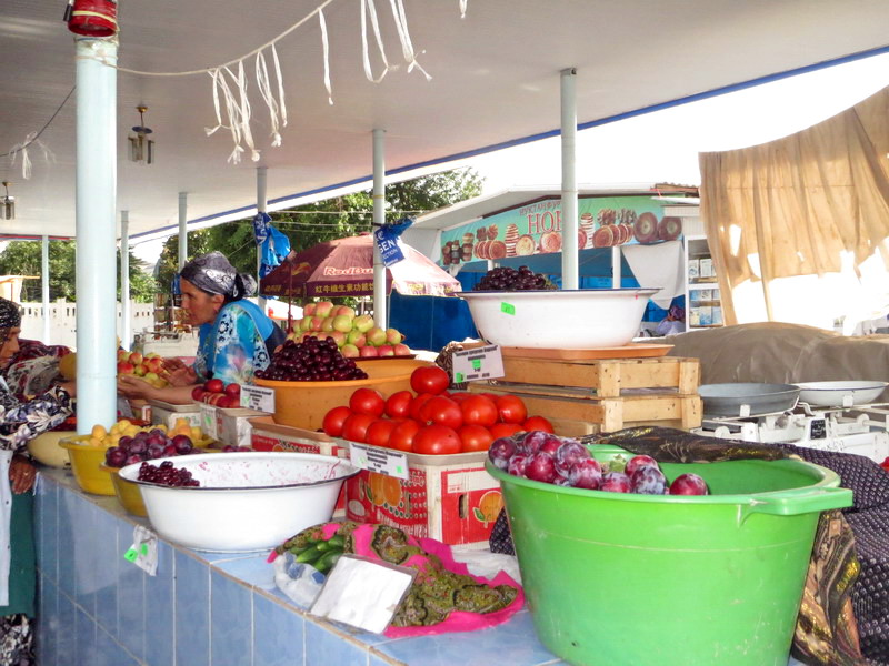
We visited the war memorial and local market.
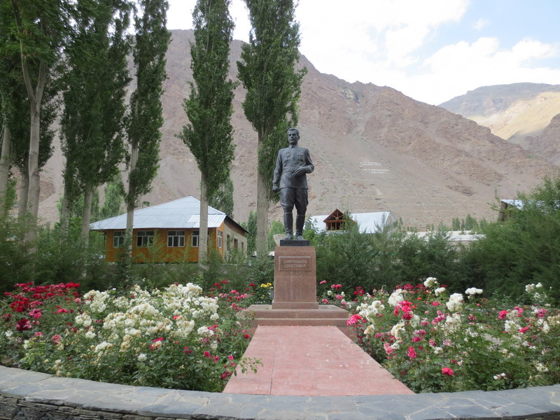
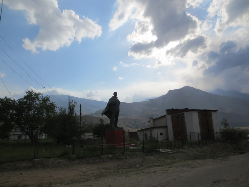
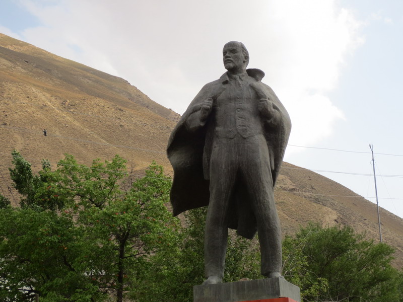
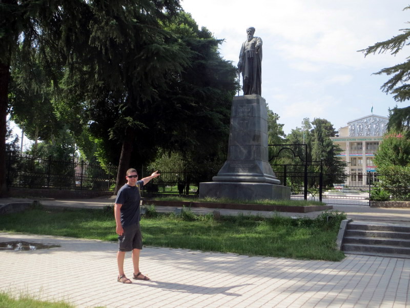
There was a Lenin statue as well, but it was moved outside of the town. At this point you could also see the two rivers coming together, the Gunt flowing into the Panj river.
We went looking for a nice mountain to climb the next day. It was simple, just walk 500m behind our guesthouse. It was the son of Lalmo who showed us the start of it. He was an athlete and told us he used to run on the mountain almost every day until he broke his leg.
We rode by the local gas station and started walking in the mountains.
In the evening we had diner in the guesthouse and talked to our new friends. It was Olivier, the biker from Switzerland who we had met under the way, and also Jean-Pierre from Holland. Unfortunately JP had a problem with his bike and he had to fly back to Holland to get some parts. JP and Olivier, I wonder where you guys are now?
We stayed a few days in Khorog. The weather stayed pretty bad, and even the locals said it was not normal for this time of the year. Normally it is a lot warmer. There was also quite some rain.
To proceed, there were two options, the Pamir Highway, or ride south and keep following the Afghan border to Ishkashim. We chose the first option.
Afghan offroad border ride to Khorog
We started as soon as the sun came up today. Remember, we were in hotel bugs. I think maybe I slept 2 hours or something. Still not used to the bugs 🙂
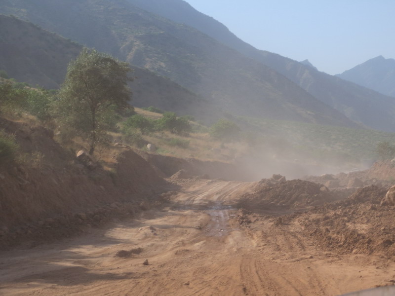
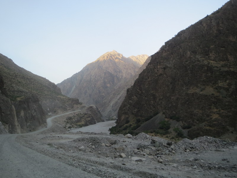
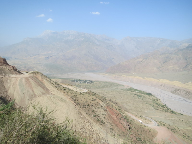
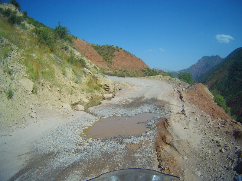
Anyway the good was that we were early on the road, we were on day two of the ride from Dushanbe to Khorog following the Afghan border. It is another of those beauty rides that will disappear as they are building an asphalt road here. That is, if you like offroad of course.
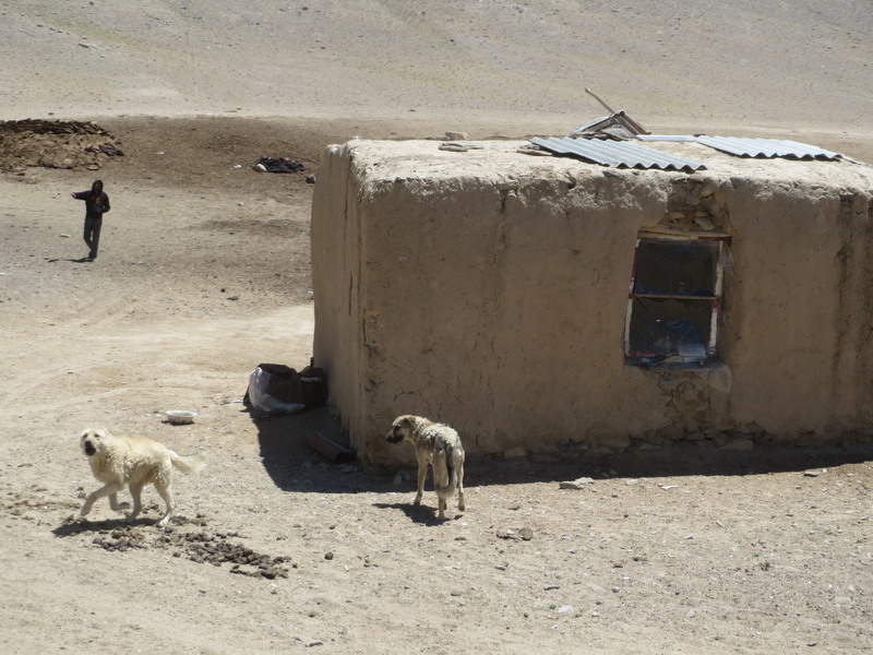
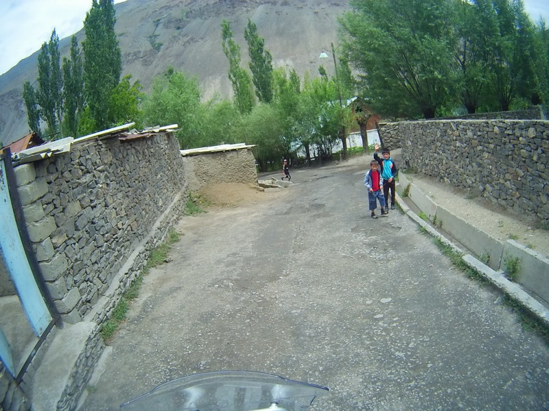
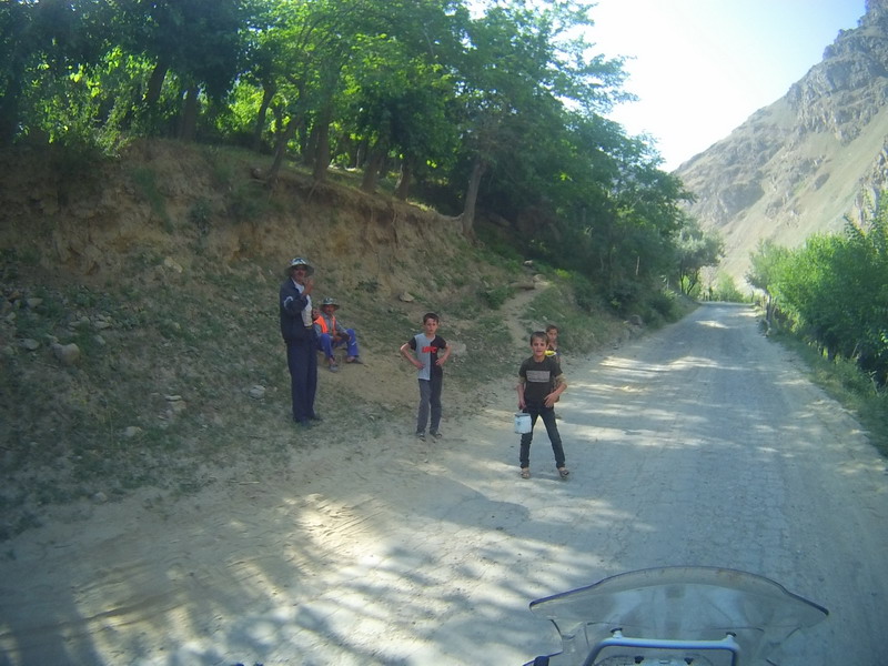
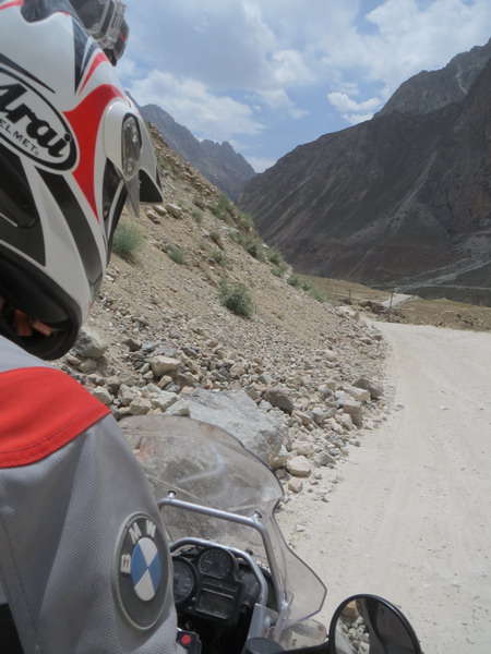
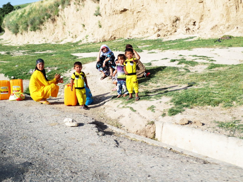
We had to cover about 240km today. For what is like 90% offroad that is a nice distance. Riding through the villages was hazardous though, as the dangerous dogs were placed in ambushes. I held my leg ready for kicking them but it was not always successful, one time I was almost bitten!
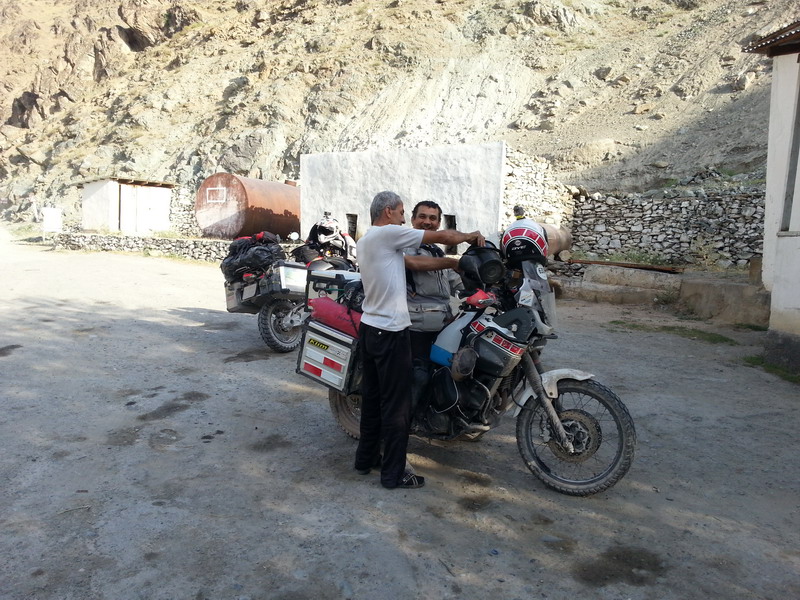
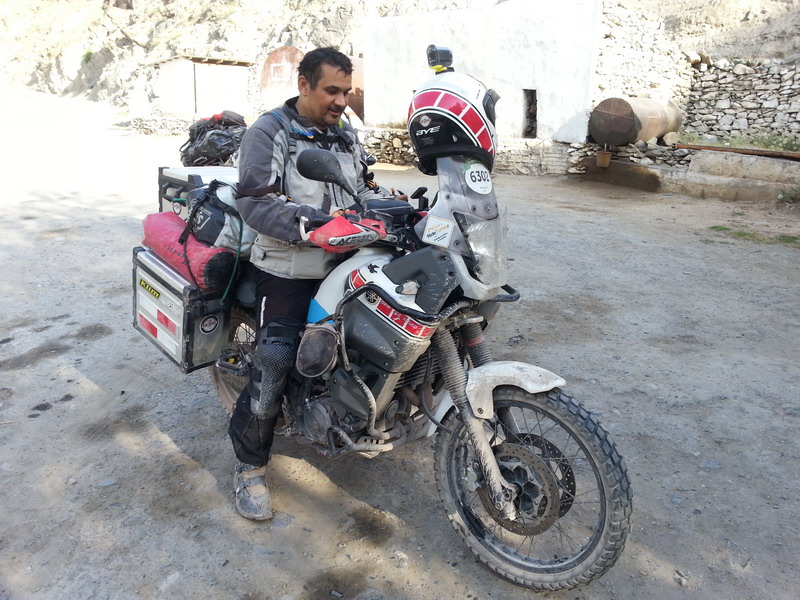
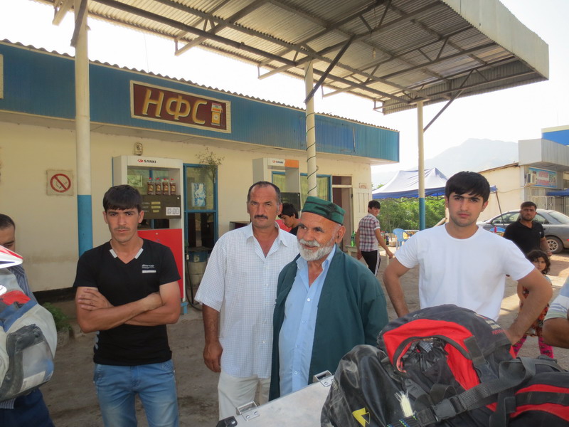
We rode close to the fast flowing river. In the town of Kalaikhum we stopped to check the gas station. It was from a bucket and I had still spare. My GS is not so thirsty and I could make it to Khorog, so I decided to skip this station. But then our Turkish friend Orhan came by and we talked a bit. He filled his tank a bit and we rode together for some miles.
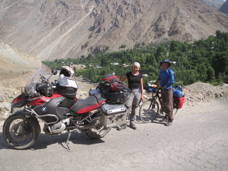
The ride itself was simply amazing. I have not witnessed so much beauty in one day before. The pictures should speak for themselves. This is a pure country. Hard, but pure. During a climb we met a Swiss bike called Olivier. He was a very friendly and we would see him again in Khorog.
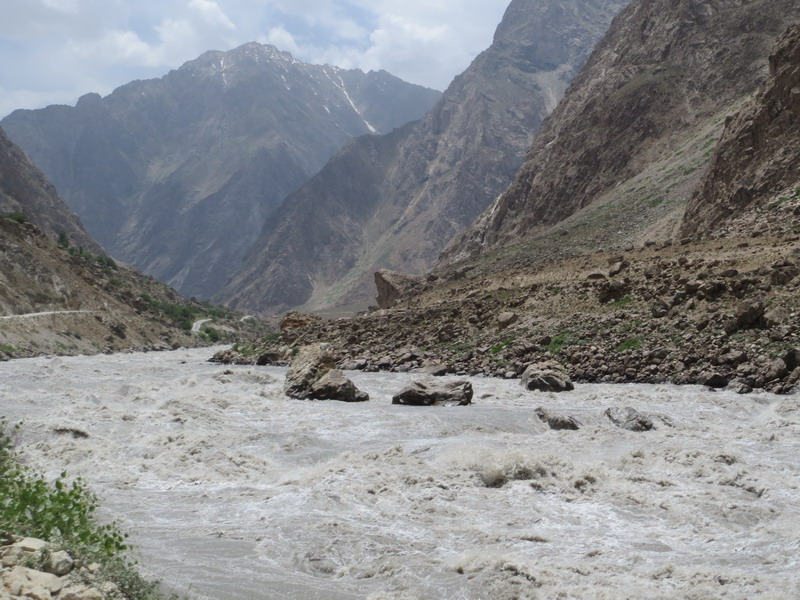
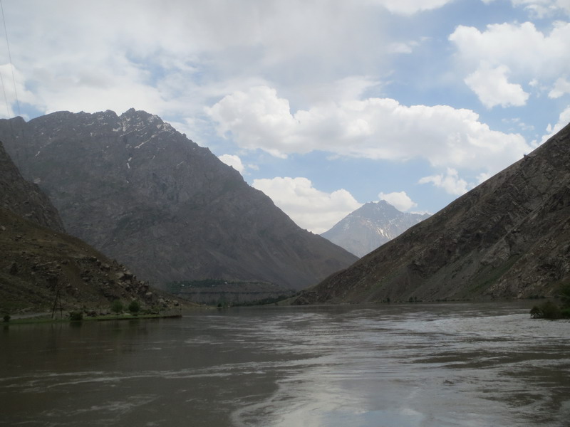
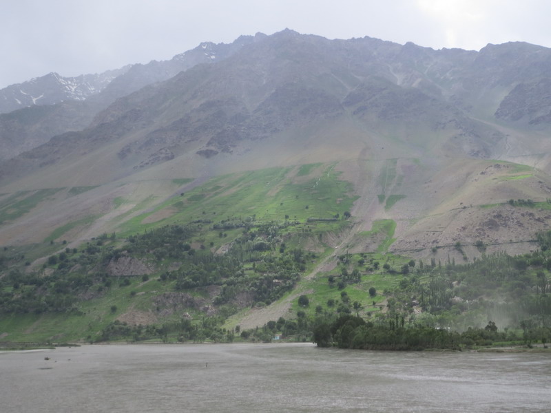
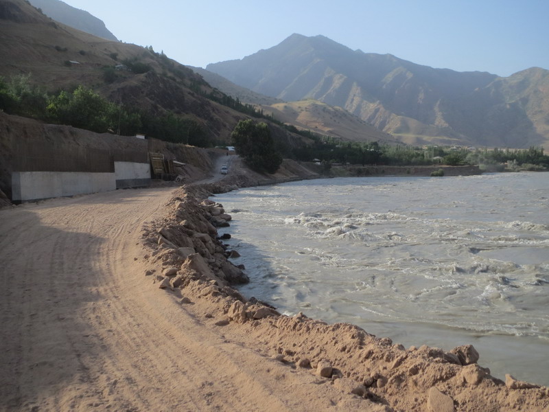
We rode to sandy stretches, and at a point the water in the river became calm. The river was also very wide now. We were getting closer to Khorog and were riding to a fertile valley.
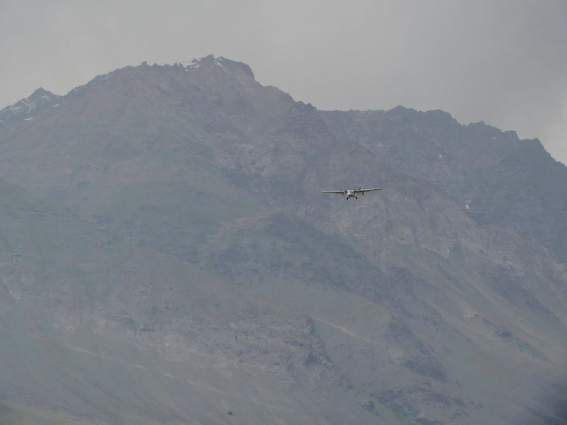
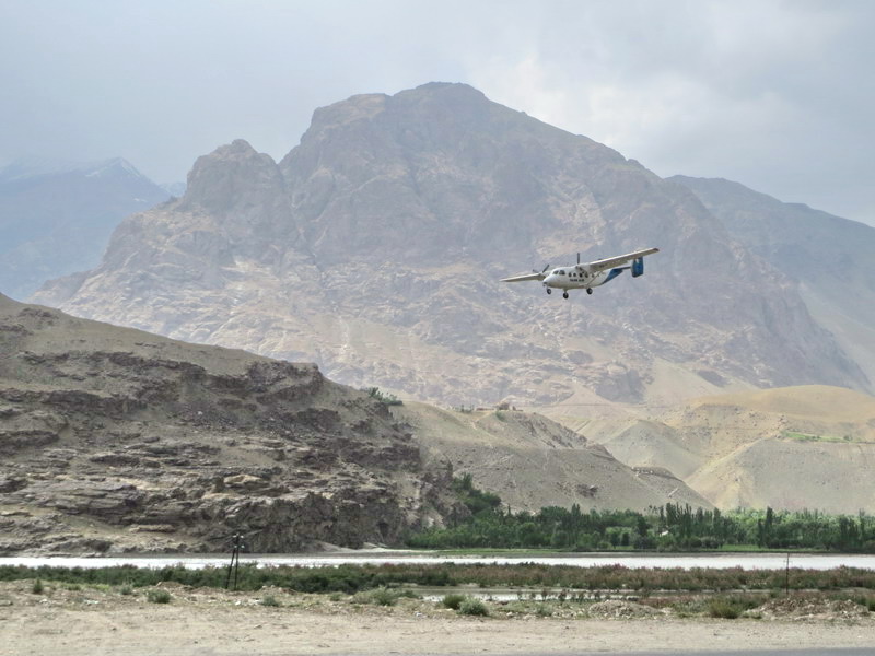
Before entering the city of Khorog we stopped to fill the tank, and also stopped at the airport to watch a landing.
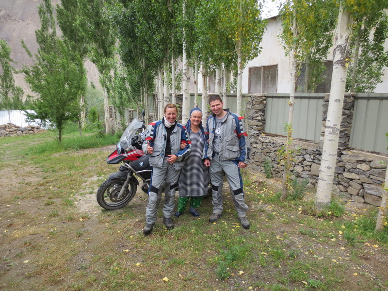
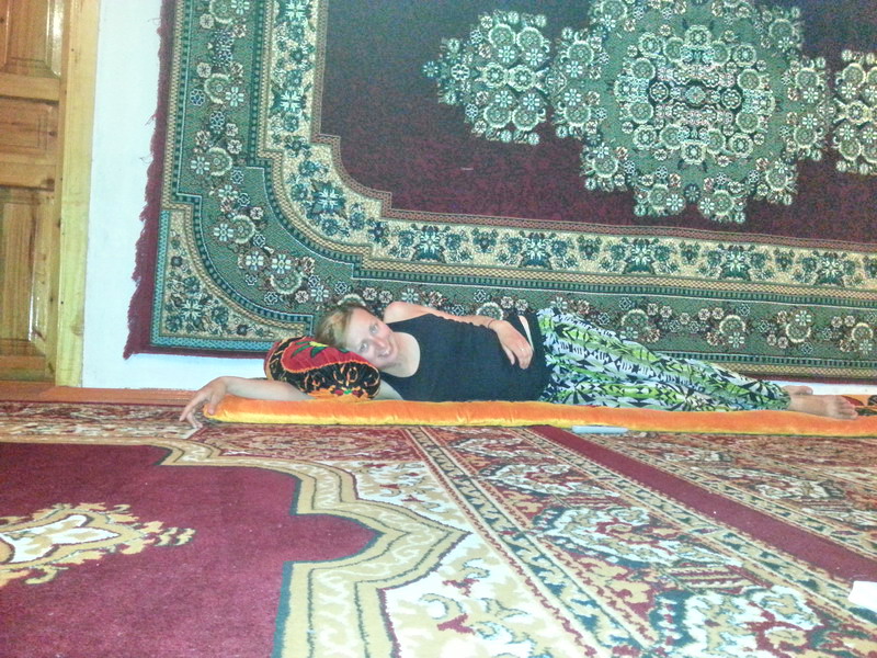
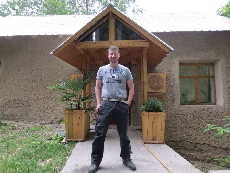
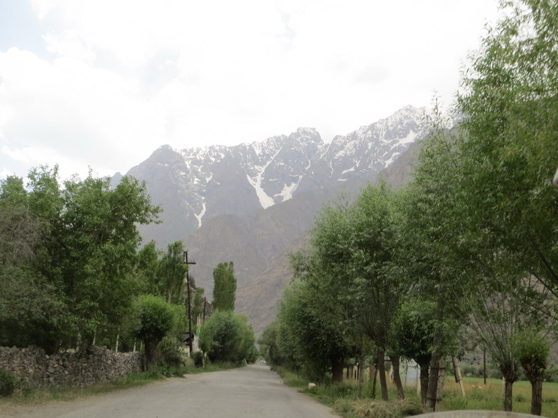
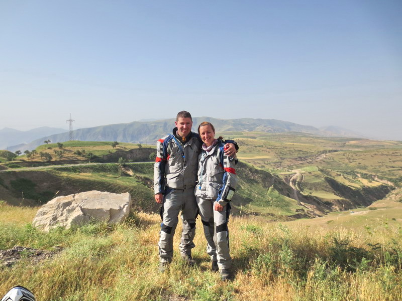
Inside Khorog we went looking for the best place to stay. Olivier had told us about a place his friend has recommended who stayed there last year. It was called Lalmo, which was the name of the woman keeping the guesthouse. It was a very good place and we would stay here for a few days. We needed some rest and to acclimatize to the height. In the meantime we had gotten to an altitude of above 2000m. It was also a nice place to do mountain walking.
The hottest ride to the border of Afghanistan
We left Mirali and his family early in the morning. Our next goal in Tajikistan were the Pamirs. We were not going to climb but we wanted to ride through them and admire the mountains.
The are two roads you can follow to ride to the Pamirs. The first option is to stick to the Pamir Highway. This option is a summer only option. The second option is go south and follow the Afghan border for two days. After talking to the locals the second option would be the best as the road was better and the first option had a quite steep mountain pass. We decided to take the second route as we wanted to see Afghanistan as well.
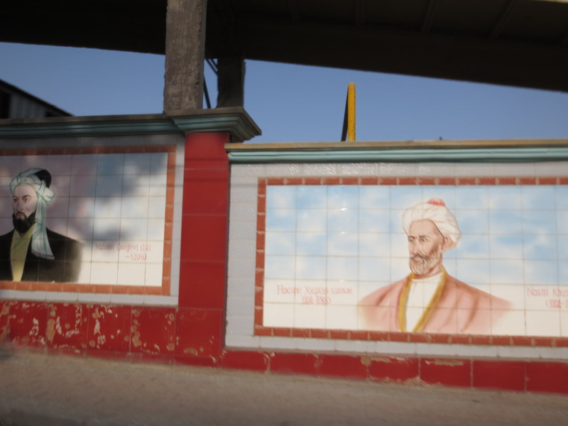
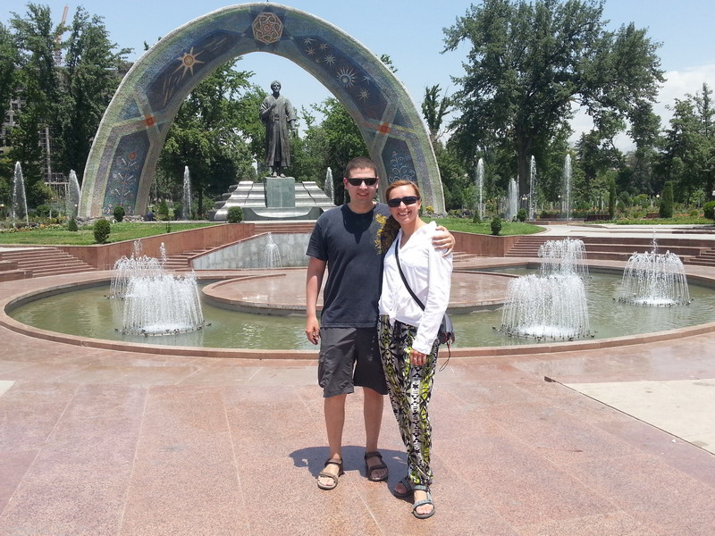
We rode one more time through the city and watched the paintings on the walls. In the center we stopped and made a picture at the Rudaki statue. He was the first famous Persian poet.
We filled up the tank and left the city. We soon were in the mountains. After climbing we got to a crossroad, right the new road, left the old one. Yes we took the old one of course 🙂 It let us through a small village to a nice mountain road. In the distance we could see the new asphalt road, and after some time we saw the town of Nurek.
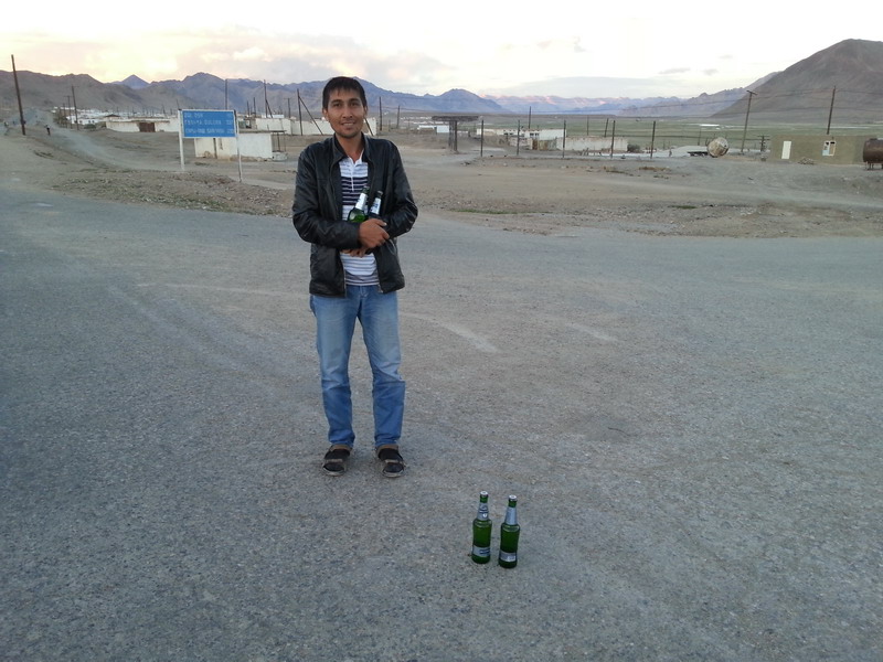
We stopped just before the town when we met a Turkish biker. His name was Orhan and he was from Antalya Turkey. We explained we would try to check out the damn and would probably see eachother again as we were both going to the Pamirs.
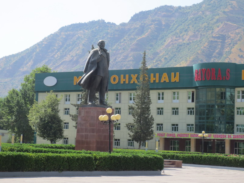
We rode passed the Lenin statue and saw Russian soldiers. This is a sign, it means this town is of some strategic importance. There was even a signicant Russian army base here. Through the town we arrived at the dam, and stopped at a military checkpoint. The soldiers were interested in my bike but could not let us through. They pointed us to another station though.
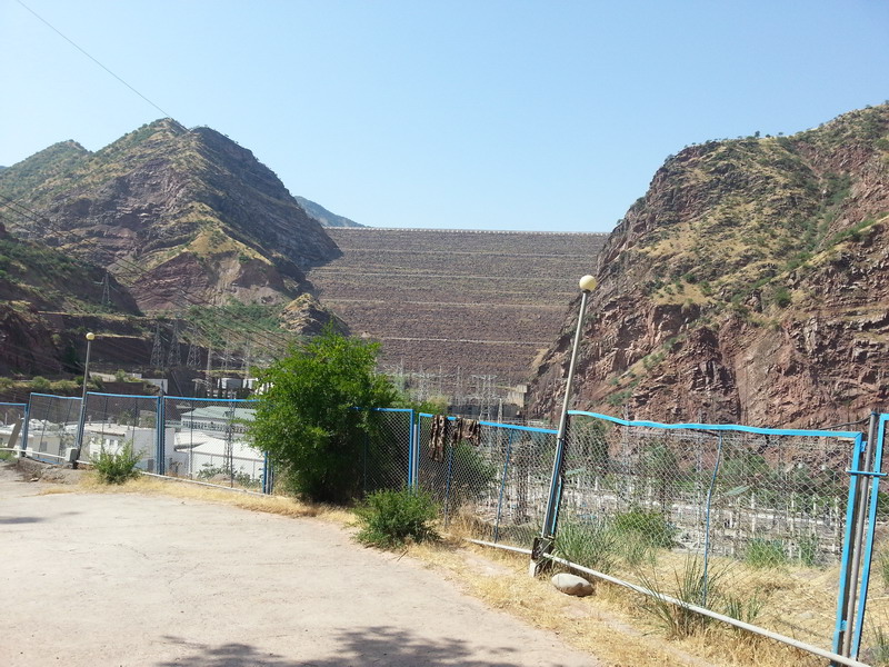
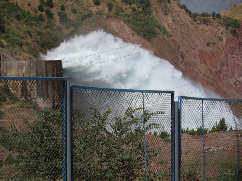
At the other station we talked to an officer and a civilian engineer from Turkey. They both tried to help us but we could not get it. A clearance must be obtained from Dushanbe. So we just took some pictures and rode on. Not too bad as we needed to cover a long distance today.
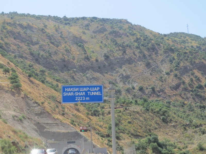
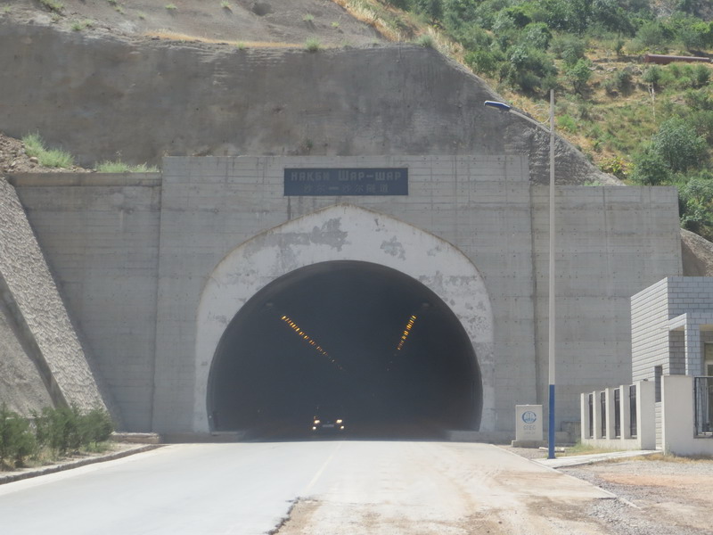
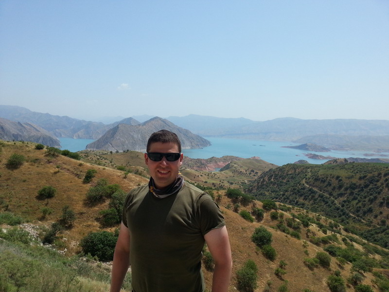
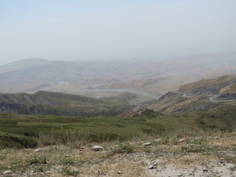
After climbing again and riding to the Shar Shar tunnel, we stopped at a great view on the Nurek lake.
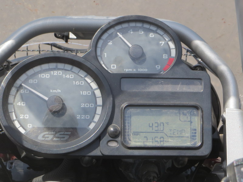
The landscape soon changed and became very dry and hot. We were riding south towards the Afghan border, but first we had to go through the birth village of the president. Near Kulab the temperature got 43 degrees. It had to close my visor because the air was just like to hot to breath.
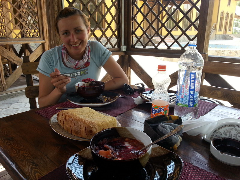
Me made a stop in a nice roadside cafe and had some borsch. We had a nice table in the shade to cool down.
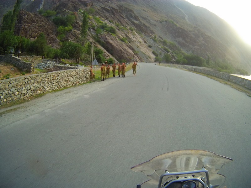
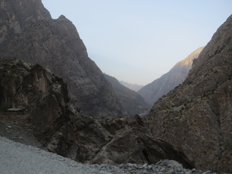
After the valleys we started climbing again. We passed an army base again, and they were target practising. A lot of gunpowder could be seen, and automatic firearms could be heard. It was quite a climb with a checkpoint on the top. We were getting very close to the Afghan border now.
The landscape changed again and was very mountainous now, but it were special mountains, like you would expect in more south-east Asia. Anyway it was beautiful, but care had to be taken, it was already some time withouth asphalt.
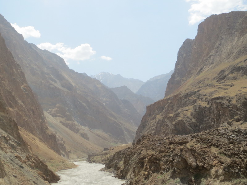
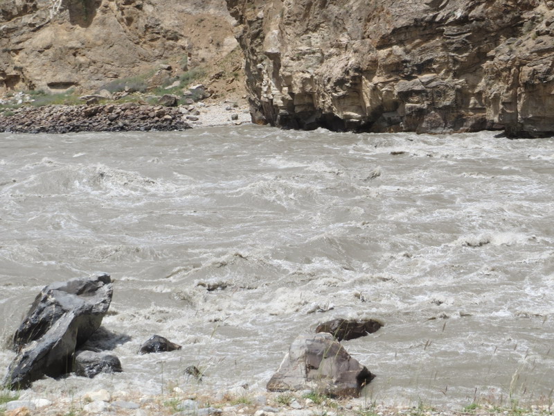
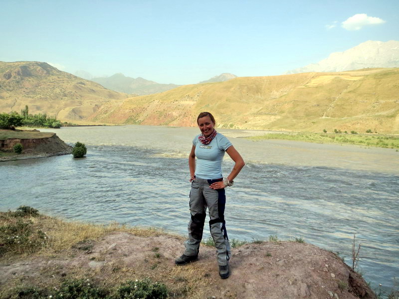
There were some obstacles to be overwon, a very tricky bridge, soft sand, big stones, riding close to the water. It was a bit stressful! We stopped when we could see Afghanistan. Wow, what a mountainous country. We descended from the mountain and reached a river. This is the Panj river, which feeds the Amur Darya we had seen in Uzbekistan and eventually the Aral Sea. We also saw the first bridge over the river. We stopped to make a picture when all of sudden soldiers jumped out of the bushes and started shooting in the air! We left very quickly.
We kept riding until it almost got dark and we came to another checkpoint. We had to show our passports as usual. I checked my GPS for some waypoints. I saw one a bit further. So we stopped but it was not the best. It was very close to the water and the rooms were dirty. Next to that there were people coming in and out to pray.
It would be short night…
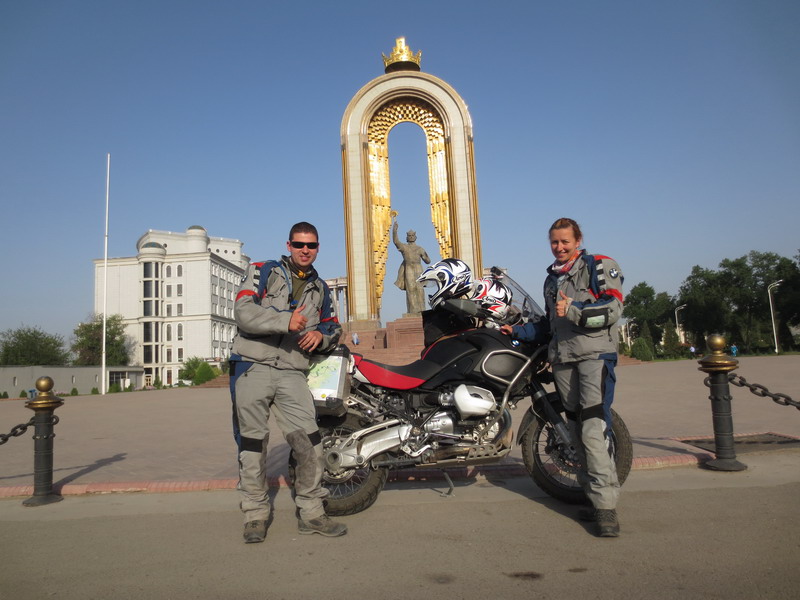
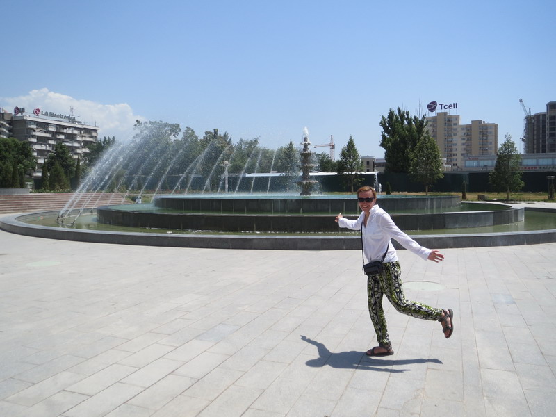
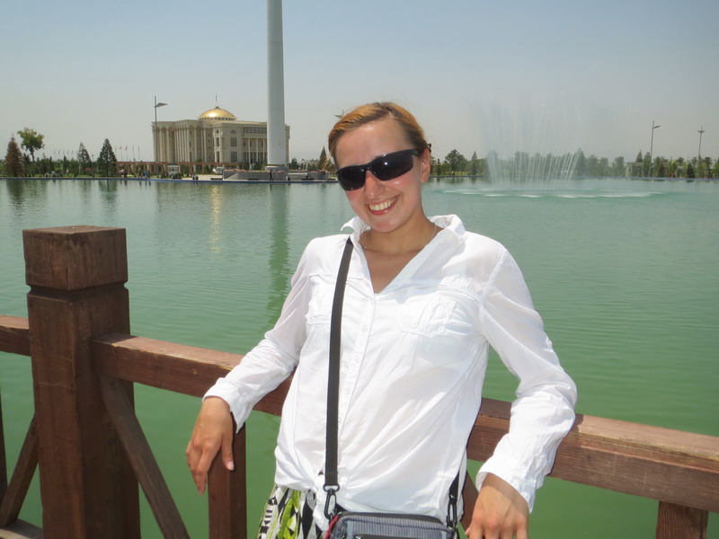
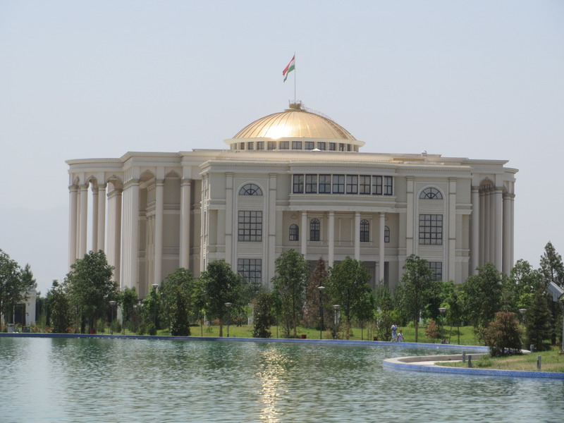
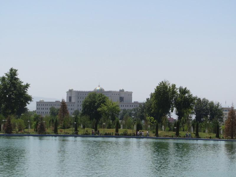
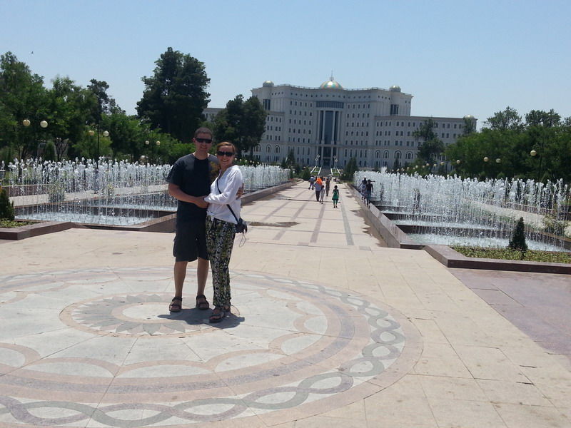
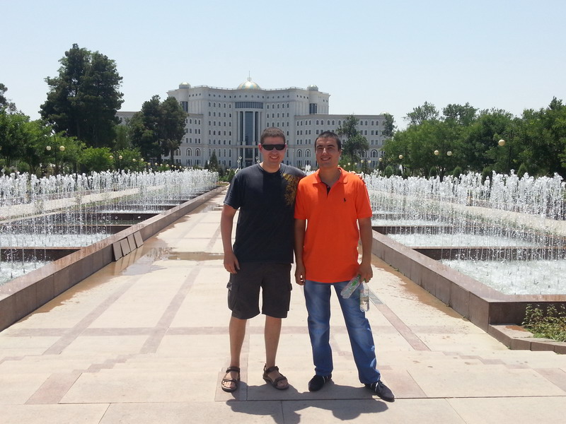
Dushanbe
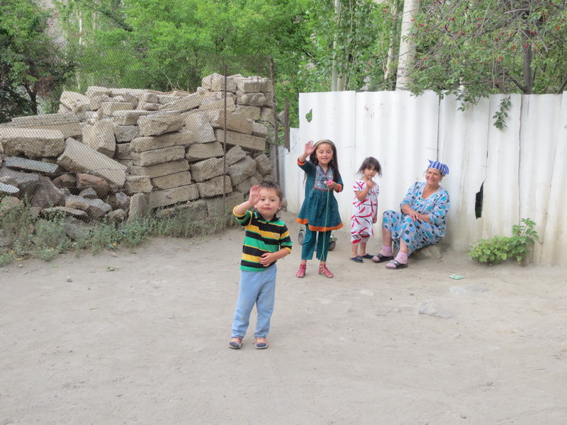
It was around 6am in the morning when I woke up because a fly was buzzing above my head. I woke Larisa as well and we saw Mirali walking around already on the yard. We said goodmorning and started getting ready for the day. We wanted to go into the center of Dushanbe, but first we were treated to a nice breakfast.
Mirali had 2 sons, 2 daughters, and 2 grandchildren. He also needed to go into the center to buy an airco for his shop. His chocolates were starting to melt. He admitted it was a specially warm summer. His son and grandson would also join us.
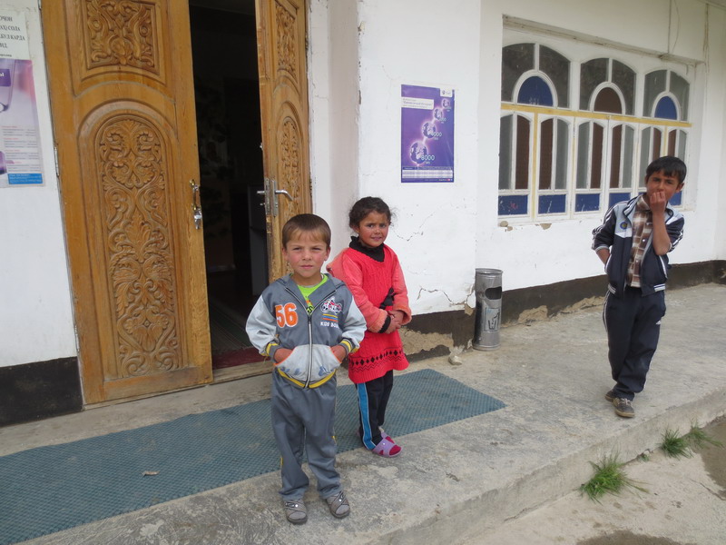
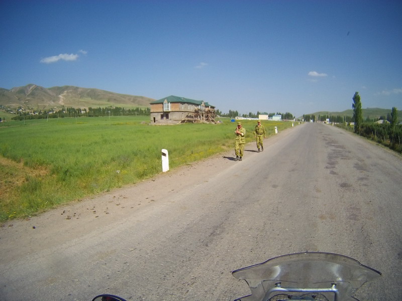
When everybody was ready we waived down a car on the road and rode into the center. At an electronics shop we got out, already in the center, and we split up. Mirali and his grandson went for the airco and Larisa, his son Muhamed and I went to see the city. It was great to have a guide again. Tajiks are really hospitable and friendly people.
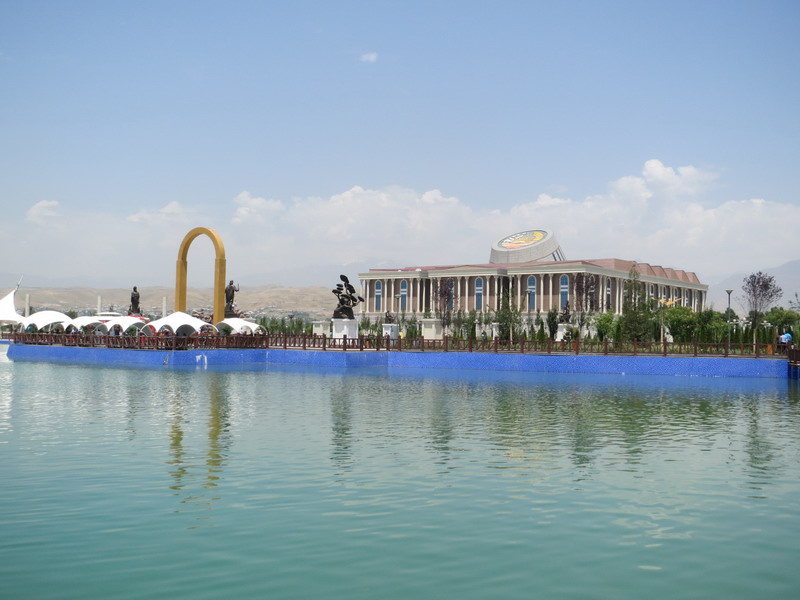
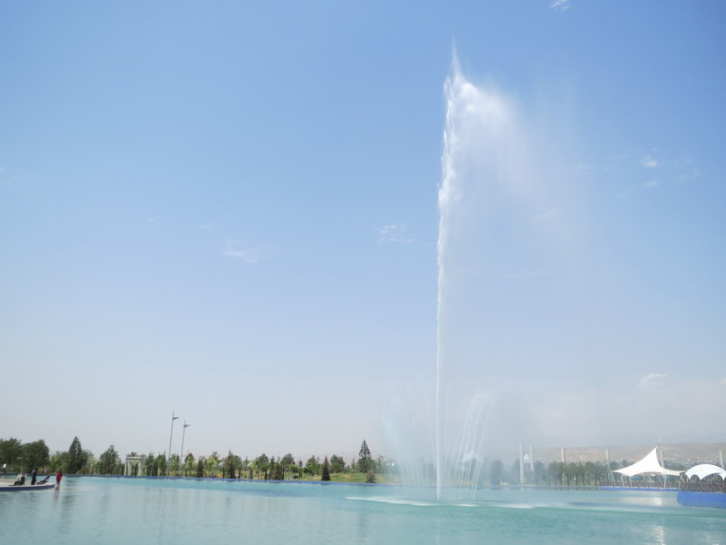
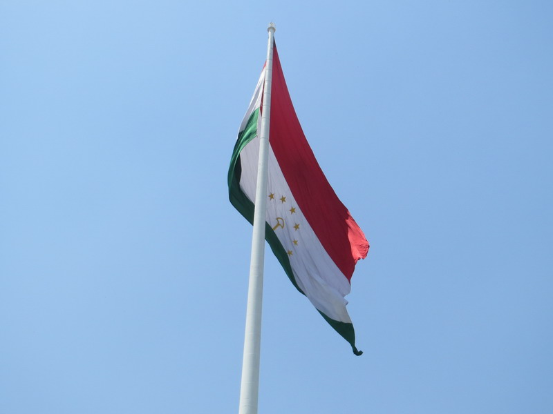
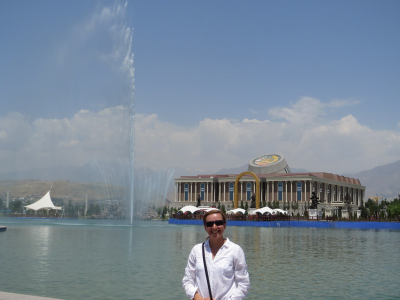
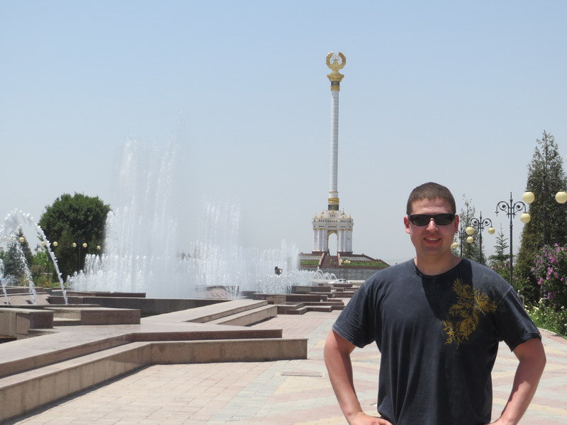
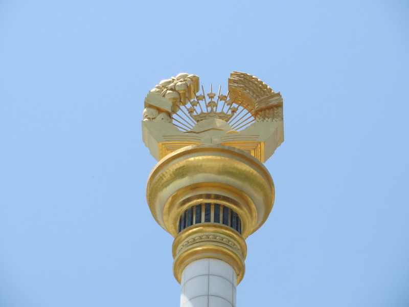
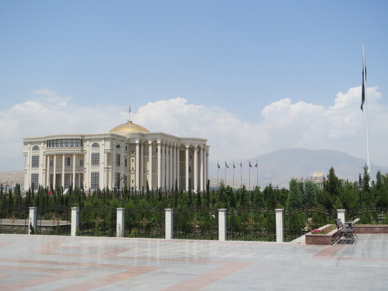
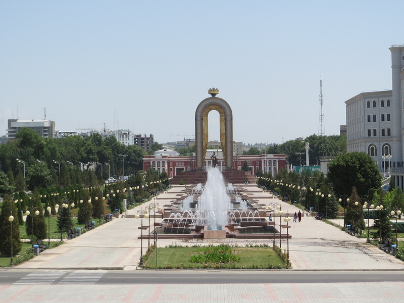
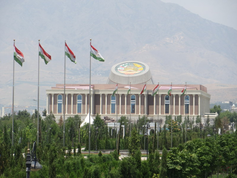
Muhamed showed us the nicest places in the city. It was really warm so I had a lot of icecreams that day 🙂 We also saw the biggest flag in the world.
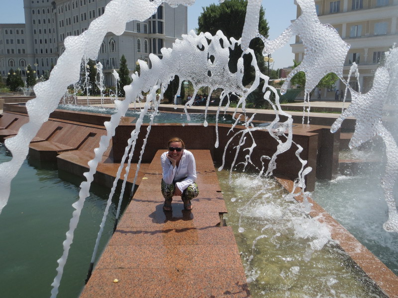
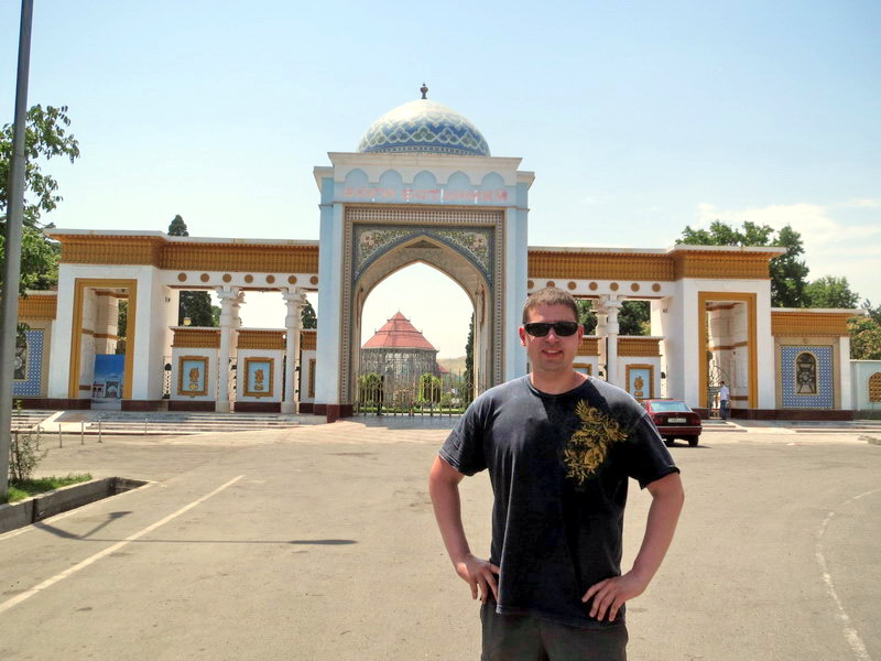
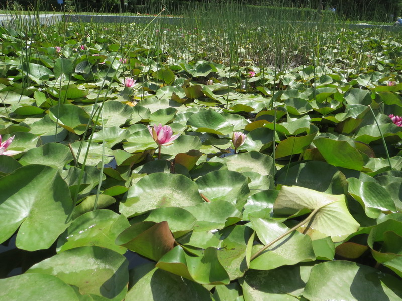
Later in the day our guide had to do some work, so he left us. We went to the botanical gardens trying to find some shade. Tajikistan is really boiling hot.
Towards the evening we passed by the local market and went back to our host family. It would be our last night in Dushanbe.
The ride through the tunnel of death
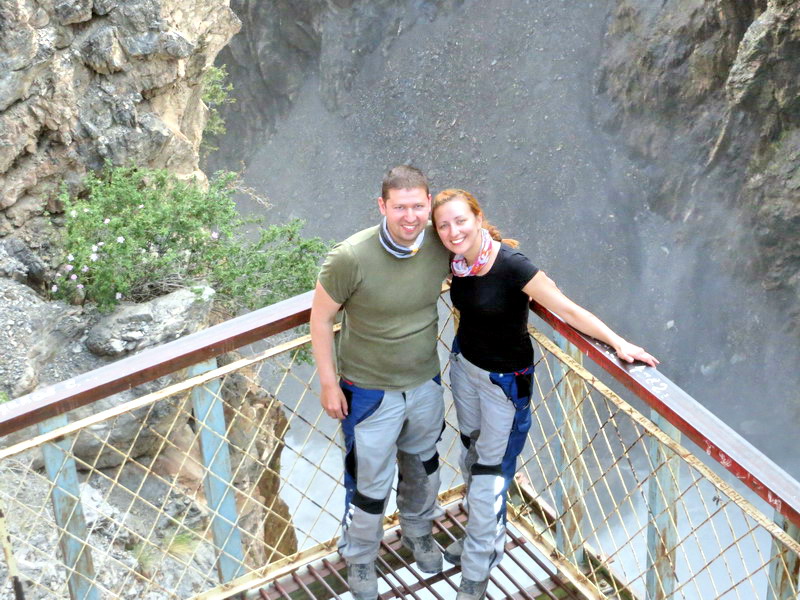
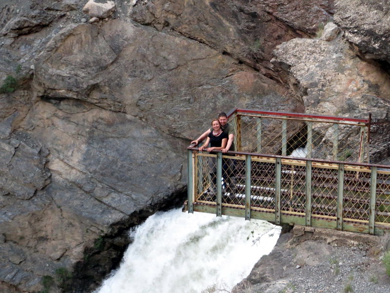
We woke up early in the morning as the sun was shining bright and our tent was getting warm inside. Our new Ukranian friends were also awake already. We started packing our gear together and had a small breakfast. I knew there was a nice waterfall of about 22 meters high near the lake. The plan was to ride the bike as close as possible and then walk further.
The waterfall was at the other side of the lake where the little shop was. So we said goodbye to the cyclists and rode around the lake. Again, but now with daylight. It is a very beautiful lake. The mountains were reflecting in the water. Swimming was very hard as the temperature of the water is only about 5 degrees celsius.

We arrived at the shop and asked two local guys if we could our bike here. It was not a problem and we asked for directions for the vodapad (waterfall in russian). Larisa and I started walked along a nice walking trail and took some pictures. Ten minutes later one of the two guys joined us and guided us. After 30 mins or so we reached the very nice waterfall. There is a hangover bridge to watch the water splashing down. We returned to the shop and under the way we met two of three cyclists. One of the guys was ahead alone.


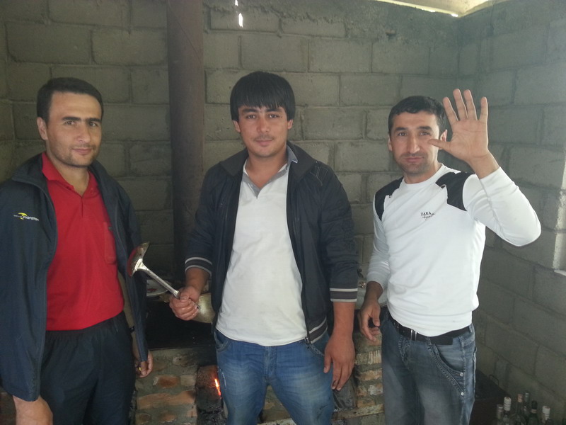
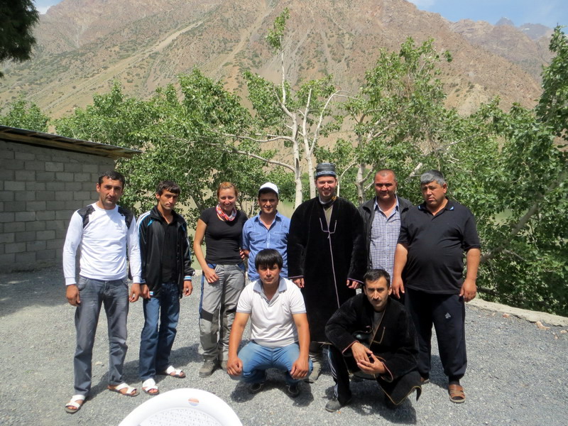
When arriving at the shop we asked for something to drink and were directed to the back. There were Tajik men having breakfast and they invited us. They had a lot of food and we just a bottle of fanta, so we gladly accepted and sat by their table. We had a look in the kitchen as well. It was a Sunday today and typically men come from Dushanbe to relax at Iskander Kul. We ate together and talked. Some muslim men were getting a bit too much interested in Larisa so we decided to move on 🙂


The ride from the lake to the main road was easier as there was more light and it was mostly downhill now. We met the cyclists again for the last down. They were pretty fast at some points and reached speeds of around 50kph. I felt like a Tour The France bike journalist riding next to them while Larisa was filming them on the back.
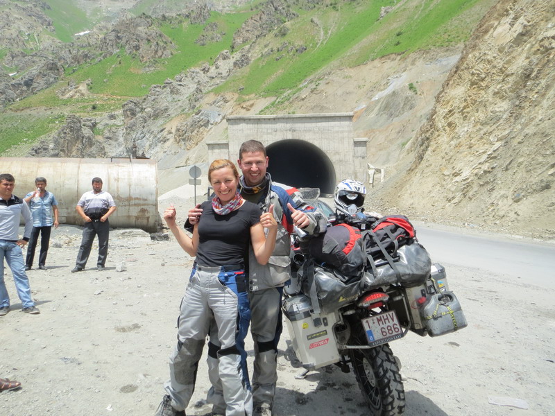
We arrived at the main road at headed towards Anzob. The tunnel was waiting for us… It was a nice scenic road and we got higher and higher until we saw this tunnel.
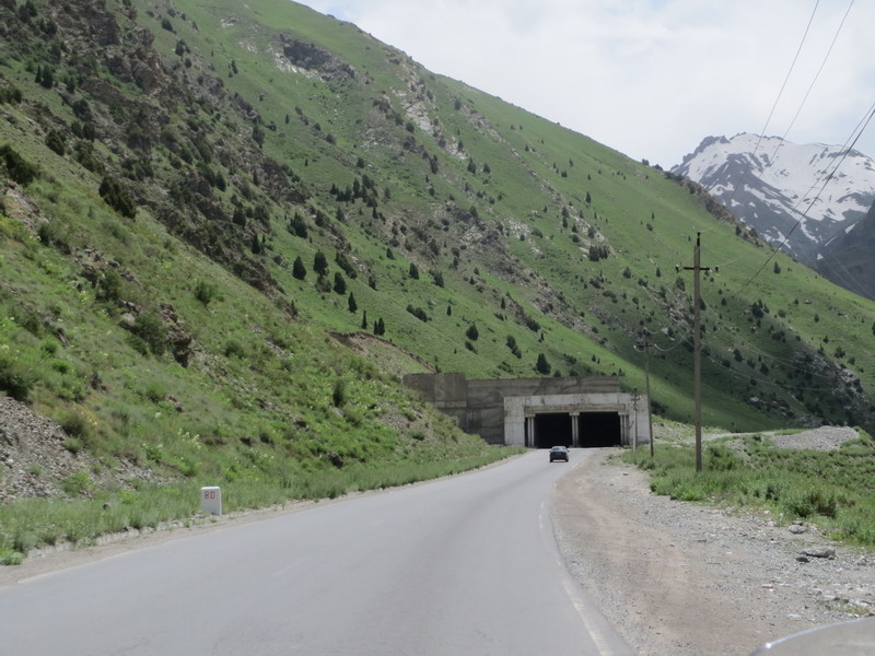
I have made some comments about the Anzob Tunnel or Tunnel of Death called by the locals. The tunnel is about 5.5km long, almost totally black, has a lot of water, a lot of very deep potholes, steel rods sticking out. There is almost no ventilation as well. Oh there is only one tunnel active, so both directions go in one tunnel. When you get stuck in the middle of it, because of car trouble for example, you have to get out as soon as possible. People have died in there some time ago, hence its lugubrious nickname.
We stopped before the tunnel. We both put our buffs over our mouth and nose. I changed my sunglasses for orange glasses which normally give me very clear vision. I turned on my helmet camera (the link to the movie will be posted later) and took a deep breath. We rode inside the tunnel. Immediately I noticed the orange glasses were too dark for me inside the tunnel. So I gave them Larisa. The road seemed really good, and after a few seconds we saw already light at the end. This was not the Anzob tunnel yet, but just a small, good tunnel before it.
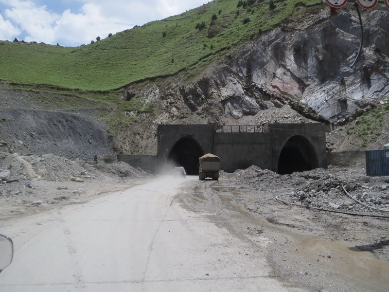
After a few minutes however we arrived at the real stuff. We entered the tunnel and there were cows sitting at the beginning of this gate to hell. After seconds it got dark and some time later we noticed the water. The good thing is that you can ride behind cars and watch how deep they sink in the potholes. So I watched closely and followed some cars. A few times I hit the concrete with the bottom of my bike. Luckily no damage. Another time a car stopped in front of me hard so I had to stop in the pool of water. I had wet boots but could move on. Some cars were really scratching their bottoms in that tunnel. You had to ride all over the place, but the locals knew the best way, so I just followed them.
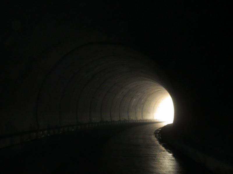
Eventually after 20 minutes or so there was light again. What a feeling! We exited the tunnel and I stopped 100m further to check the bike and ourselves. No major damage, so all OK!
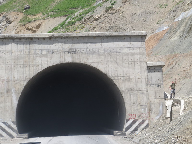

The mountains behind are really nice and I was looking if I could see the pass somewhere which was also open at the time. The 3 cyclists would take the pass. After standing there for a while we started coughing because of the exhaust fumes which come out of that tunnel! So we moved on, it was a nice downhill ride to Dushanbe now!
After some kilometers we noticed a road coming from the left. This was the M34 mountain pass. We drove it for a km or so and then turned around. Maybe another time 🙂


We followed the Varzob towards Dushanbe and made a stop at a scenic river picknick place.
We rode on towards the capital and noticed it got warmer and warmer again as we were descending from the mountains. We arrived in the afternoon in the city, it was around 40 degrees again. We stopped at a small shop to buy water. Our plan was to go to the adventure inn hostel which was now 5km further. Larisa went to get the water and I waited by the bike. After 5 and 10 minutes still no sign of Larisa. I was getting a bit stressed, normally she is back in 2 minutes or so. Was she kidnapped?
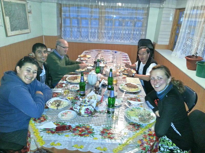
I went in the first shop but no sign of her. Then I jumped on my bike and rode to a second shop. There she was, talking to a man, who appeared to be the shop owner. They both came out of the little shop, and the man asked if I wanted a cold beer. Next to the shop was a small cafe which he also owned. It was 40 degrees and I had my suit on sitting on the bike. What, a cold beer now!? I still have to ride a few kilometers 🙂 I accepted gladly, and it got even better. He seemed really interested in us, and offered us his home to stay over. What a nice surprise! The beer was very nice as well! I think I drank the half liter in one minute. Hydrating 🙂
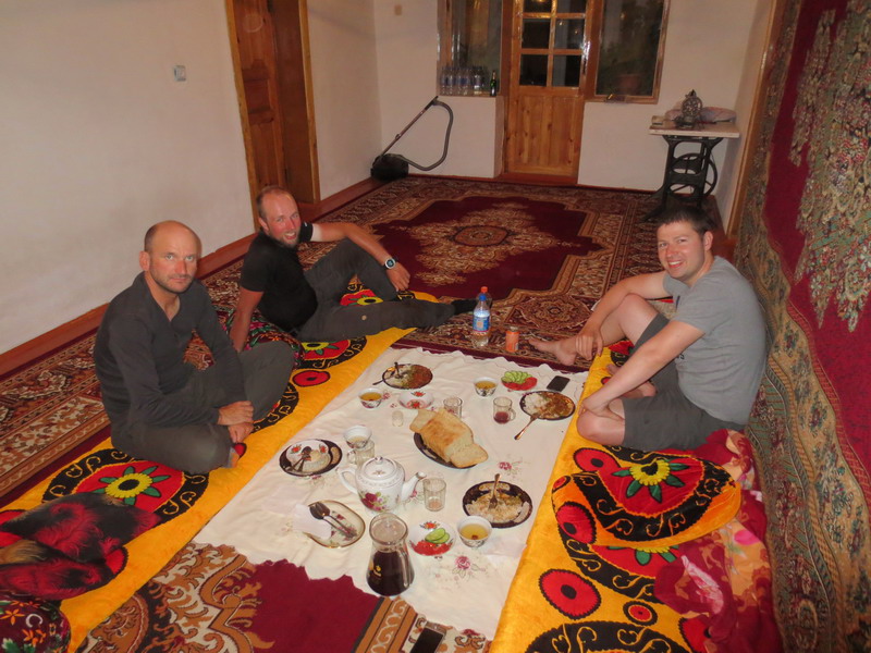
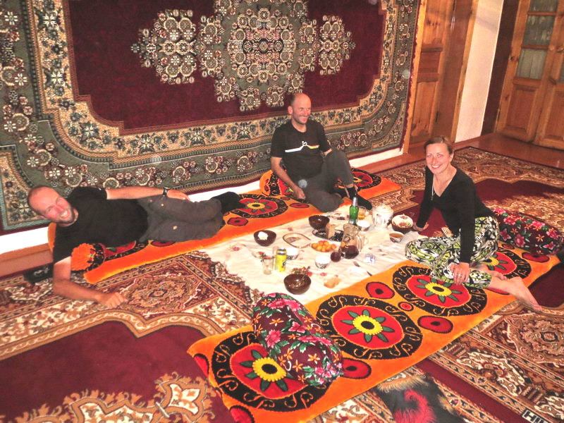
His house was around the shop and was big with a big inside open area where I could park the bike safely. We could go inside the living room. We changed our clothes and layed down for a rest…
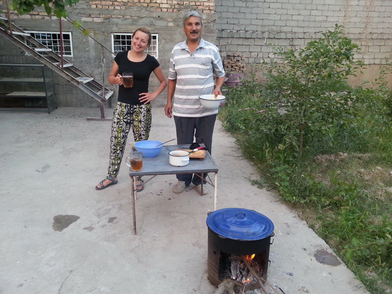
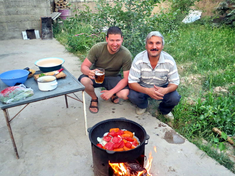


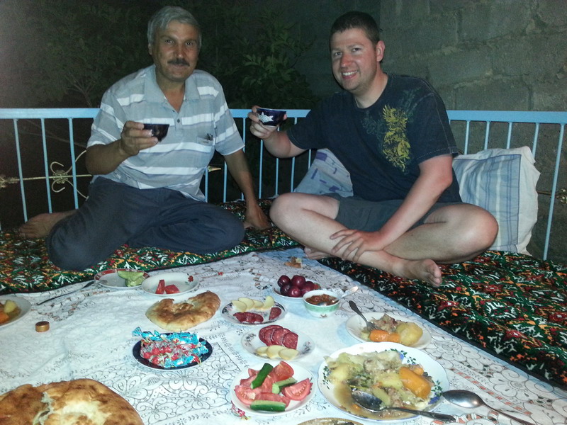
The name of our host is Mirali, and he appeared to be a great cook as well. In the evening he started cooking diner for us. It was really tasty and we washed it away with some Tajikistan vodka. As it was so warm we could sleep outside on the open place. I was thinking back about the tunnel and really happy we went through it without major incidents. We fell in sleep watching the stars…